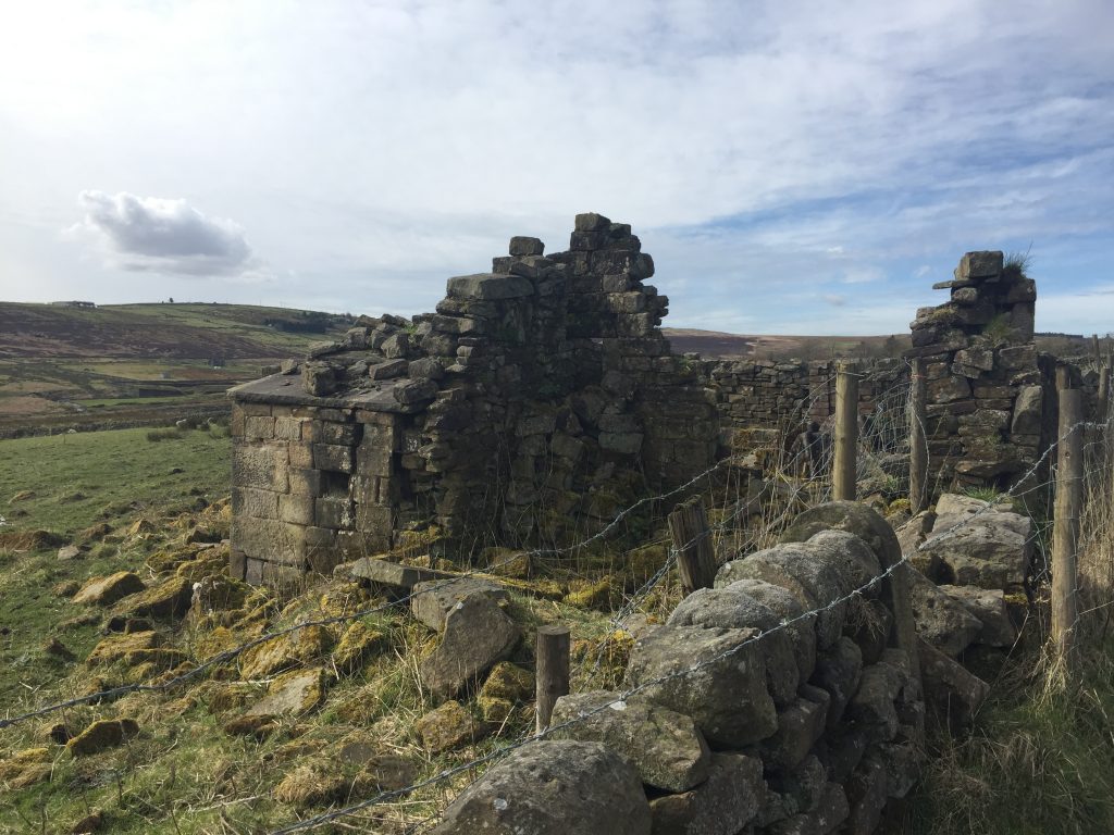
It had been almost a year since I’d been on The Long Causeway, a road running along the top of the ridge from Blackshaw Head. I’d taken my daughters there and we’d had a grand old time exploring Bridestones, outcrops of millstone grit rocks and boulders which are ½ a mile long. Amongst these rocky outcrops are a number of odd-shaped formations that have been caused by weather-related erosion over thousands, if not millions of years. One huge boulder in particular, known as ‘The Great Bridestone’ is fantastically shaped at its base, looking like an up-turned bottle, as if it might topple over at any moment. There are a number of myths and legends associated with The Bridestones, many of these going back to the mists of time. More recently, perhaps, there are a number of local traditions that have become connected to the place and its many, strange-shaped rocks and boulders. However, today I wasn’t going to explore the stones, which necessitates a diversion from the road.
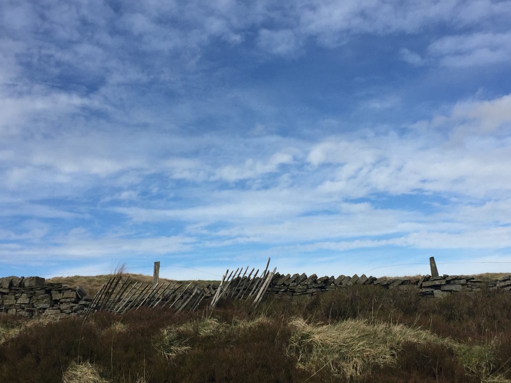
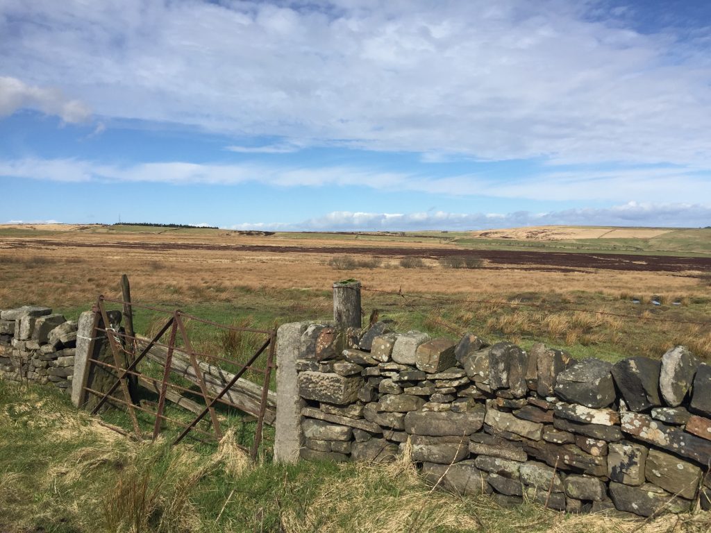
Again, it was another sunny day, and a couple of times on the hike I felt positively warm! Starting from Blackshaw Head Bridestones can be see in the far distance, it it looked a mighty long way. There were great views over the Calder Valley to Stoodley pike and there were a few newborn lambs enjoying the sunshine too. At one point I decided to take a cart track, clearly marked on my map but it soon petered out into a narrow footpath heading steeply down so I backtracked, something which I don’t like doing, and kept to the road. Very few cars passed, a few bicycles, no other walkers, but someone on a pony came along and then galloped off into a field.
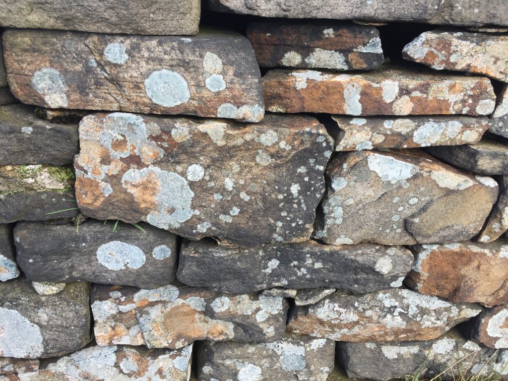
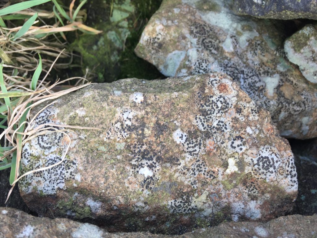
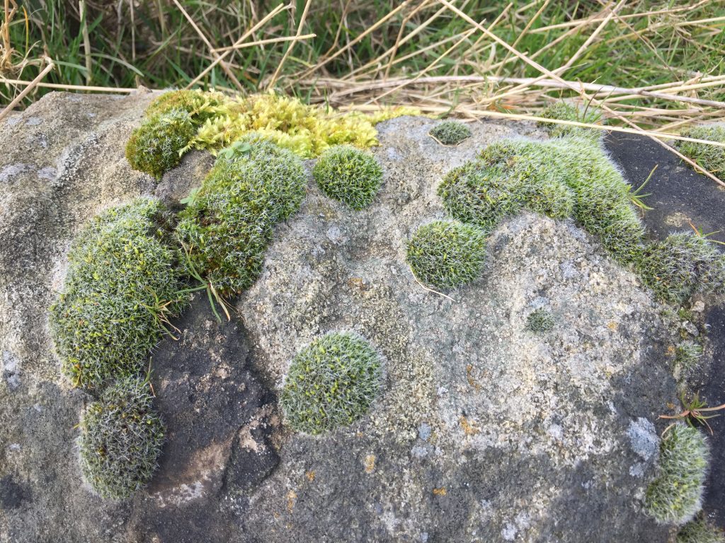
I was taking this walk because of the virus and of course that was on my mind as I took some photos of things in nature that resembled the diagrams of the virus itself which pervades our news screens incessantly at the moment:
I passed several old halls before arriving in the little community of Cross Stones. It’s dominated by a church which can be seen from Todmorden perched high above the town. I have several ancestors buried in the cemetery. There has been a church here since about 1450 and it was built as a Chapel of Ease for Heptonstall Parish to serve the townships of Stansfield and Langfield. A chapel of ease was specifically built for the convenience of those parishoners who could not easily get to the main church. It is built high up on the hills above the Todmorden valley, with wonderful views over the surrounding countryside. But it’s a very steep climb and it must have been quite a task to get a coffin up there on a snowy day in winter. It wouldn’t have been very pleasant for the mourners either, who would probably have had to walk to the graveyard. In recent times the fabric of the building became unsafe and the church was closed and converted to a private house. As I approached I saw a for sale sign – hmmm, church of sale, but no, it was the old school next door that was for sale.
A few years after 1713 a man named Pilling collected £65 from friends in London and with local help as well, he built a schoolhouse near Cross Stone Church. It was maintained by the chapelry and in 1743 the interest on the money made £3 a year, which paid for the free instruction of six poor children. The teacher was the chapelry clerk and he was paid by the parents of the 30-40 schoolchildren for instructing them in reading and writing. A William Greenwood says that he held school on Sunday mornings and up to twenty children attended. They were charged one penny a week. Quills cost half a penny, copy books two pennies, a reading easy was sixpence and “rithmetic” was one shilling and eight pence. The top room housed the school and the bottom served as the jail, whilst the far right hand end of the house was the home of the schoolmaster.
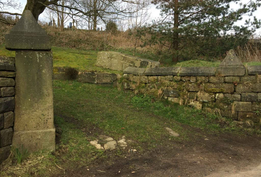
A few gravestones surround the actual church but a large graveyard is across the street and it is still in use. One of the original entrance post is still intact but the other one is prostrate but its cap has been incorporated into the wall.
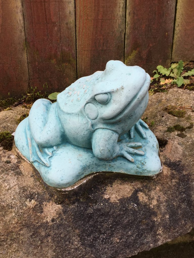
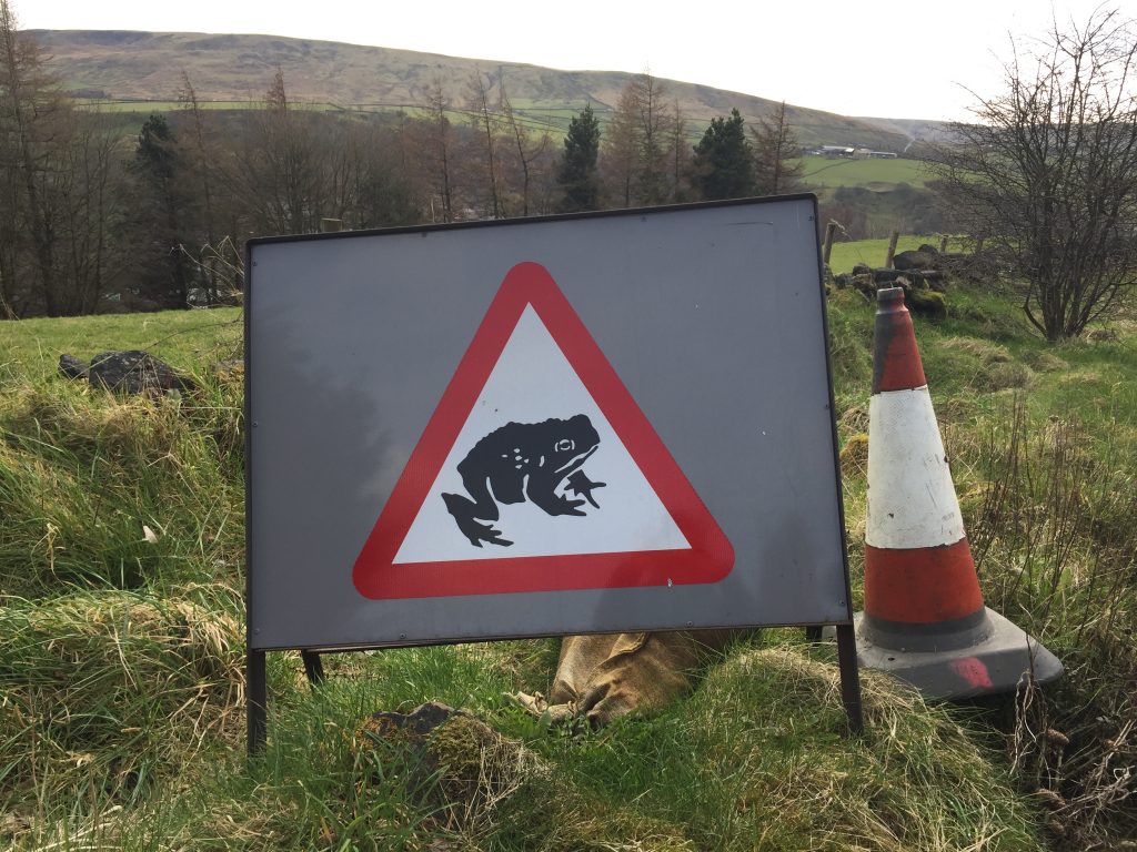
Close by I came across a ceramic frog in someone’s garden and I took a photo of it for an art project I’m working on. Then just around the corner I saw the following road sign.
6.2 miles
Leave a Reply