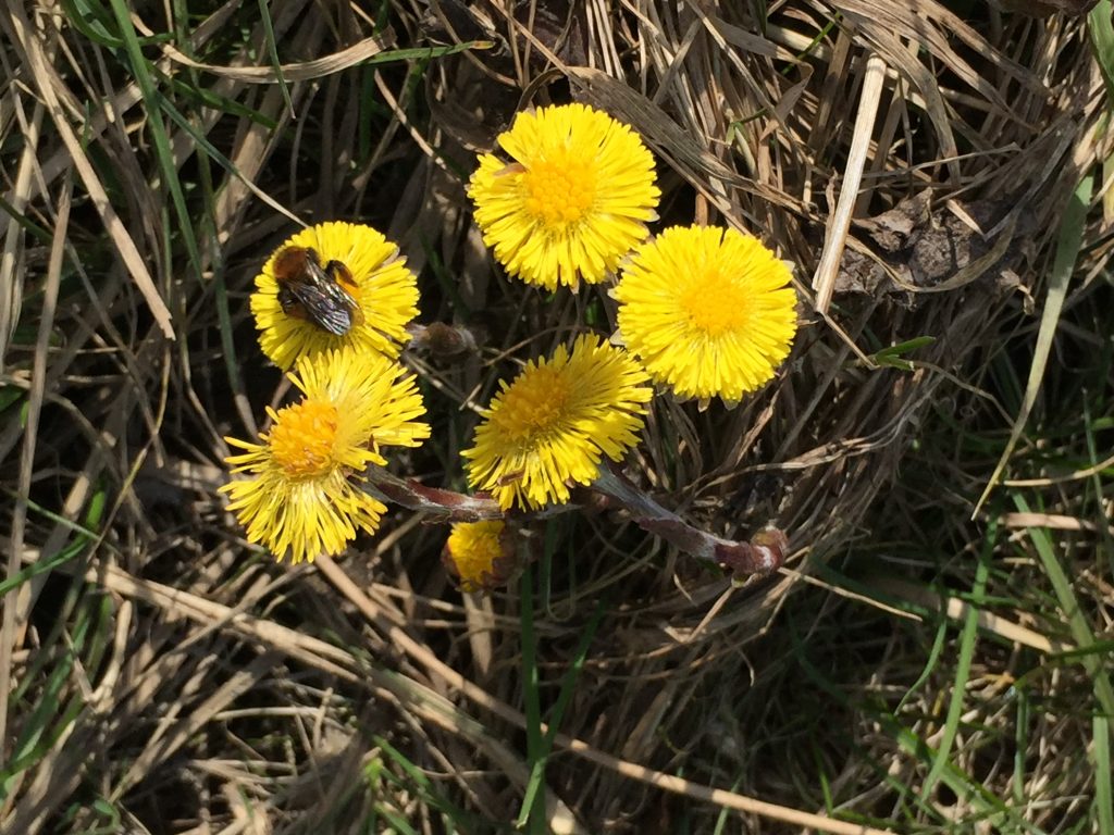
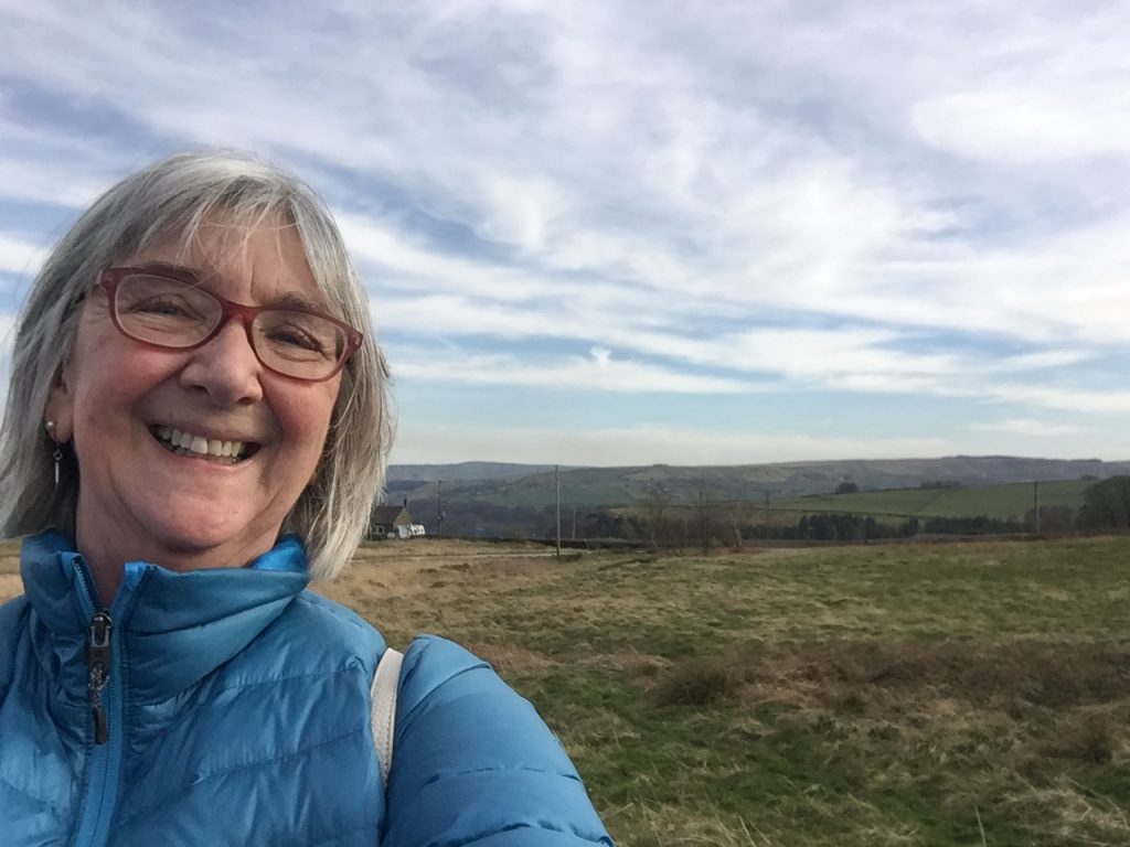
U.S Route 66 was one of the original highways across America. The highway, which became one of the most famous roads in the United States, originally ran from Chicago to Santa Monica. I’ve travelled many of its desert stretches in New Mexico, Arizona and California. It was recognized in popular culture by both the hit song “Get your kicks on Route 66” and in John Steinbeck’s classic American novel, The Grapes of Wrath (1939), the road “Highway 66” symbolized escape and loss. Several of these facts were to come in to play on my hike today but I didn’t know that when I set off.
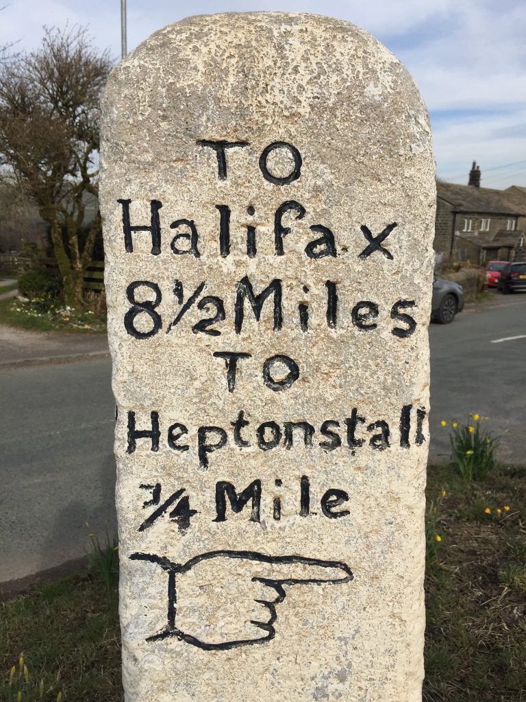
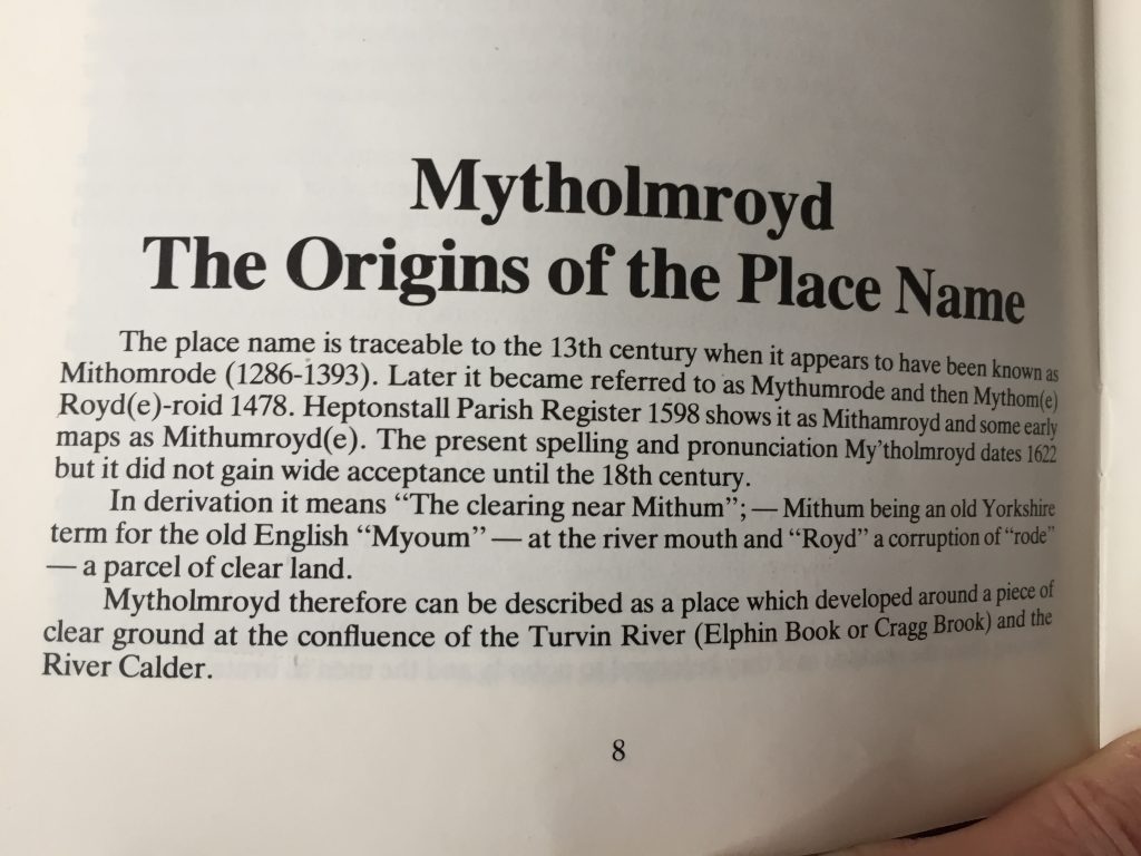
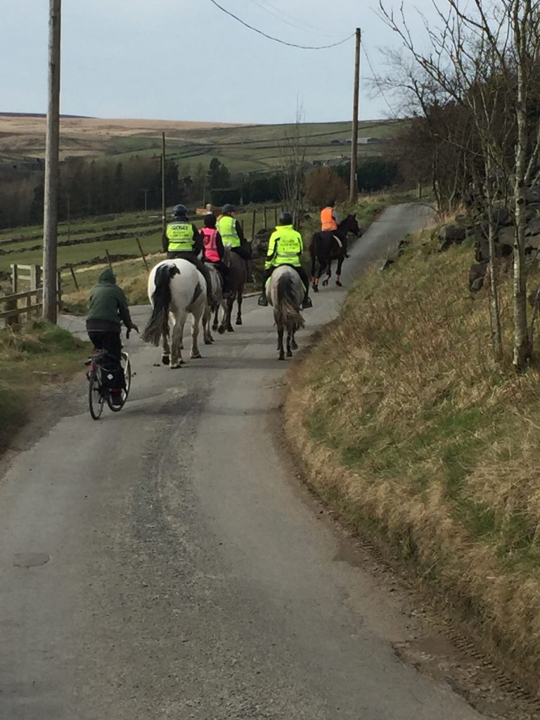
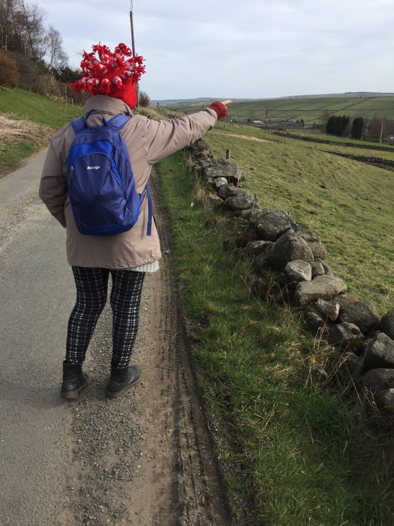
A coupe of months ago went I was walking along the towpath I’d reached yet another closed section and I chatted to a couple of guys along the trail. “Oh, you can bypass the closed section by taking a track leading from the back of Mytholmroyd train station.” I wrote this down on my ‘places to walk’ list when I got home that day. So this was the day I decided to see if their info was correct.
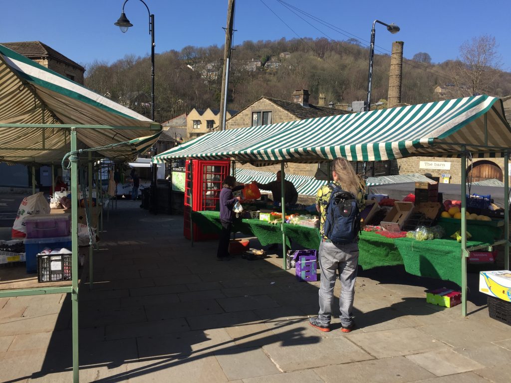
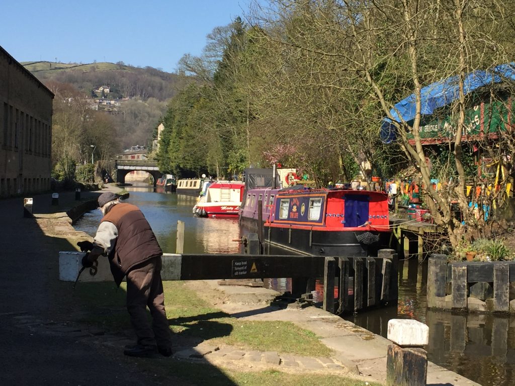
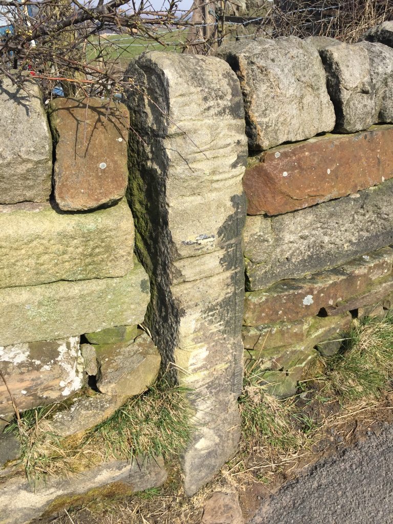
Market day was not as busy as usual . . .
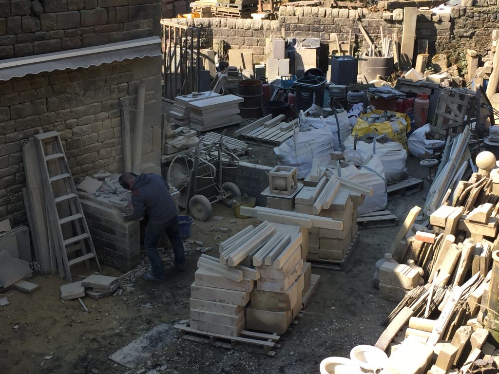
. . . but the stone mason was
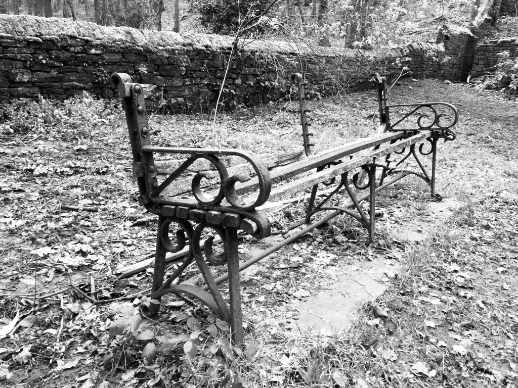
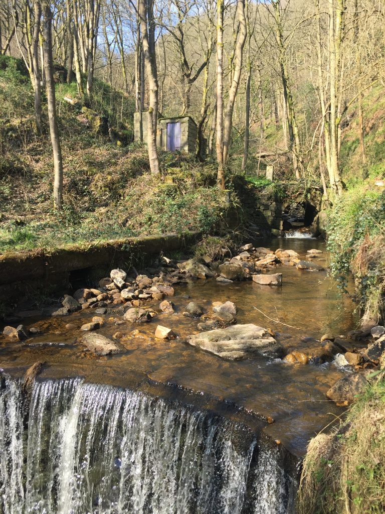
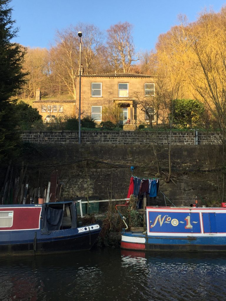
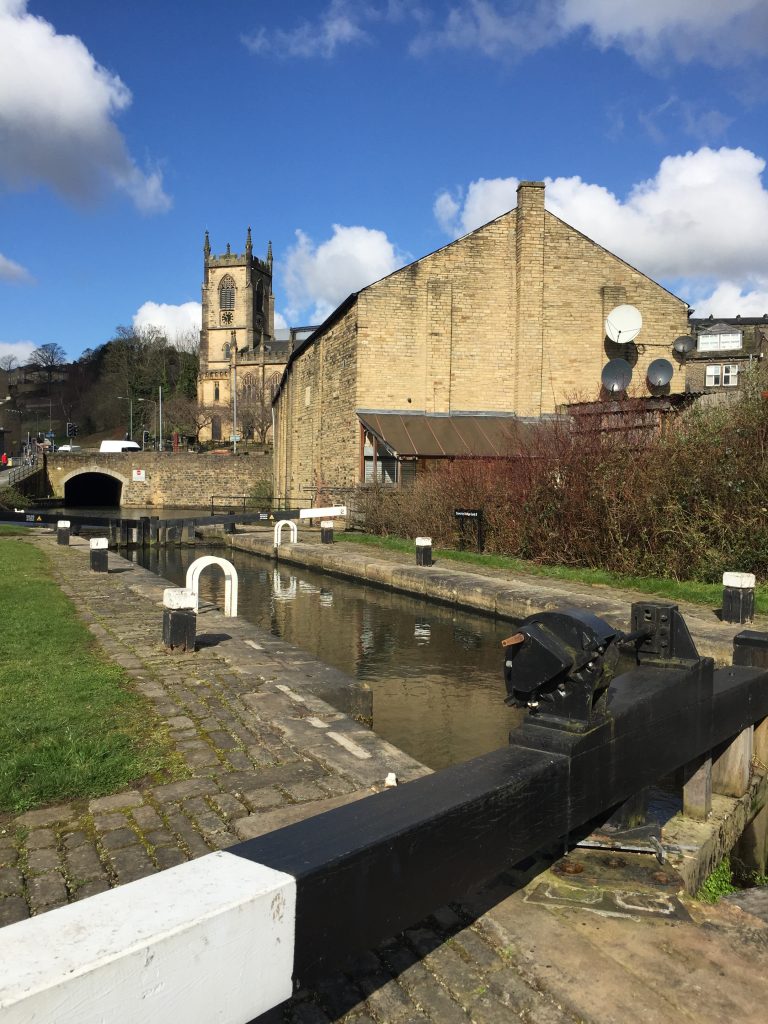
Mayroyd Lock
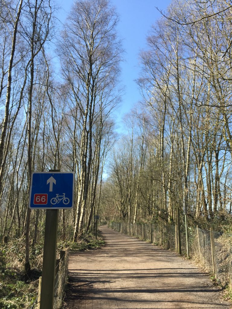
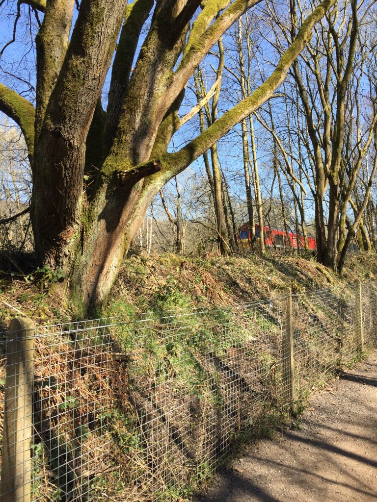
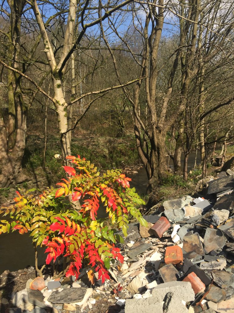
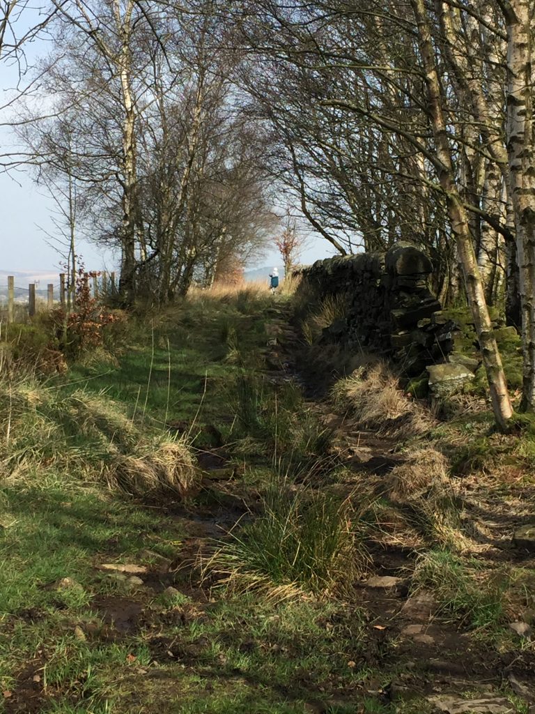
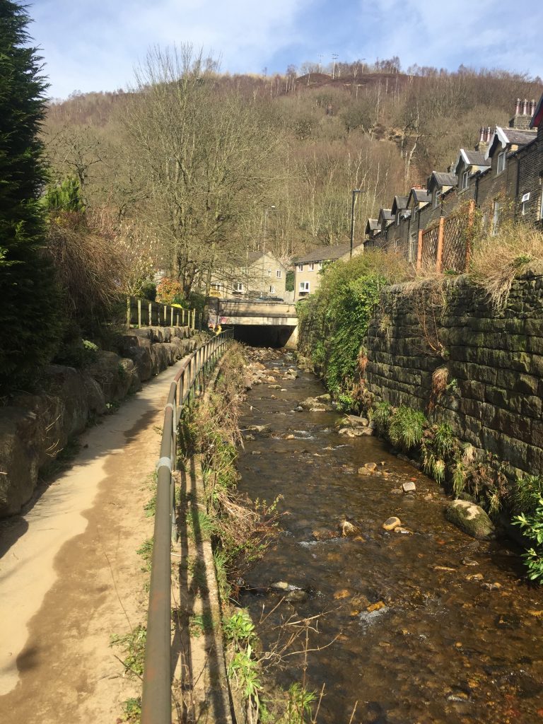
In Mytholmroyd I found my ‘new’ track easily. Over the past couple of months I’d been trying to see it from the train but I only caught glimpses of it through the trees.
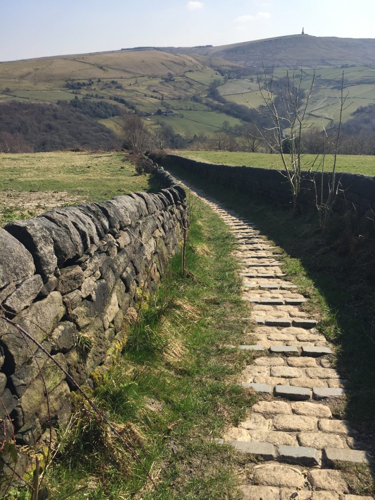
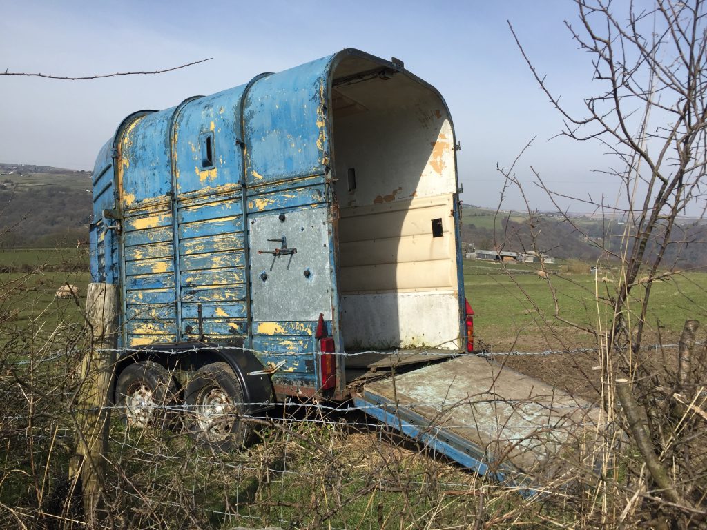
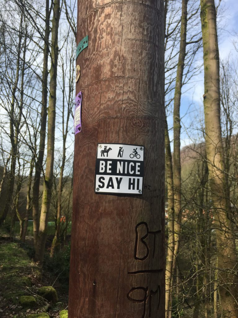
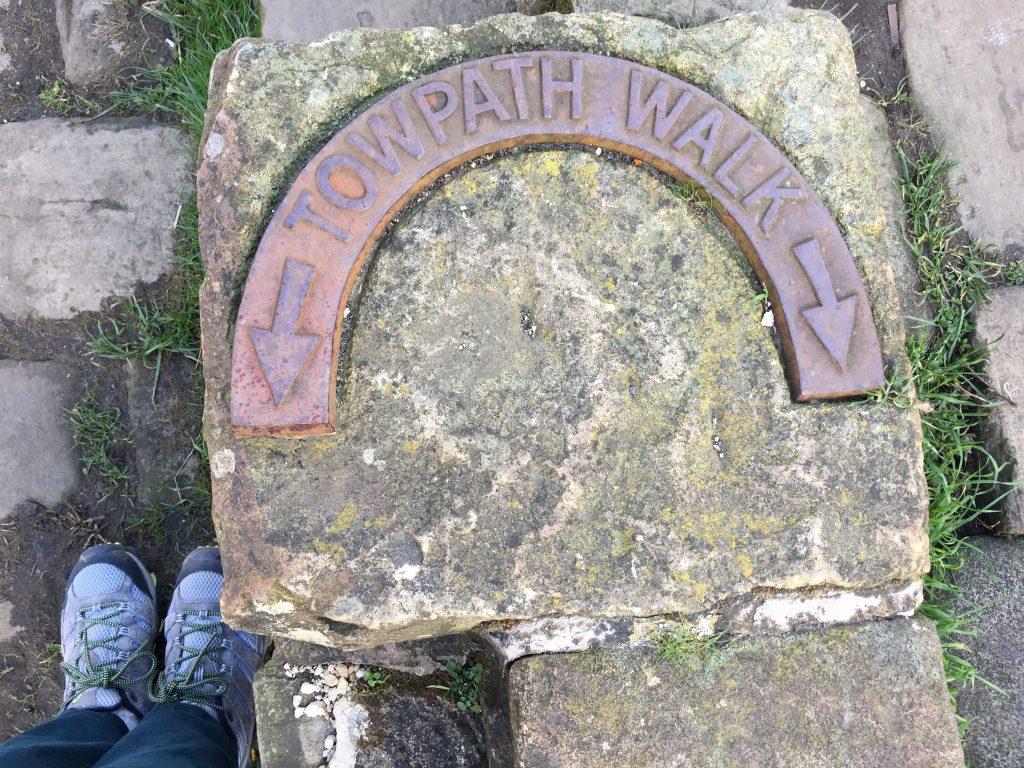
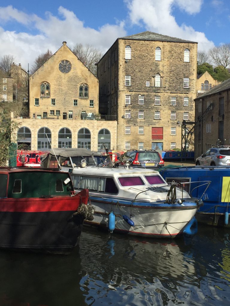
And there it was – Route 66!
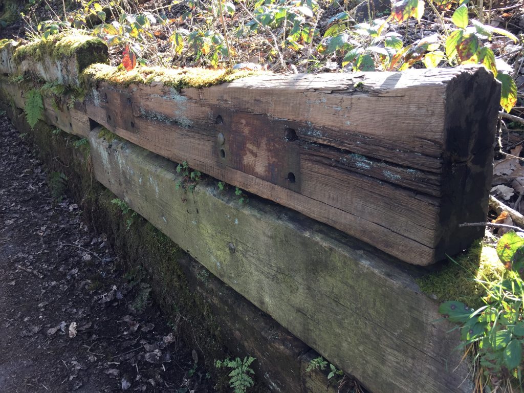
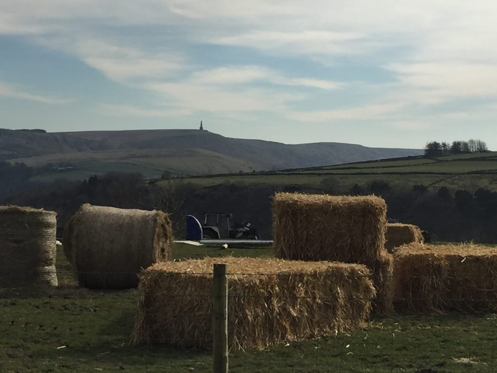
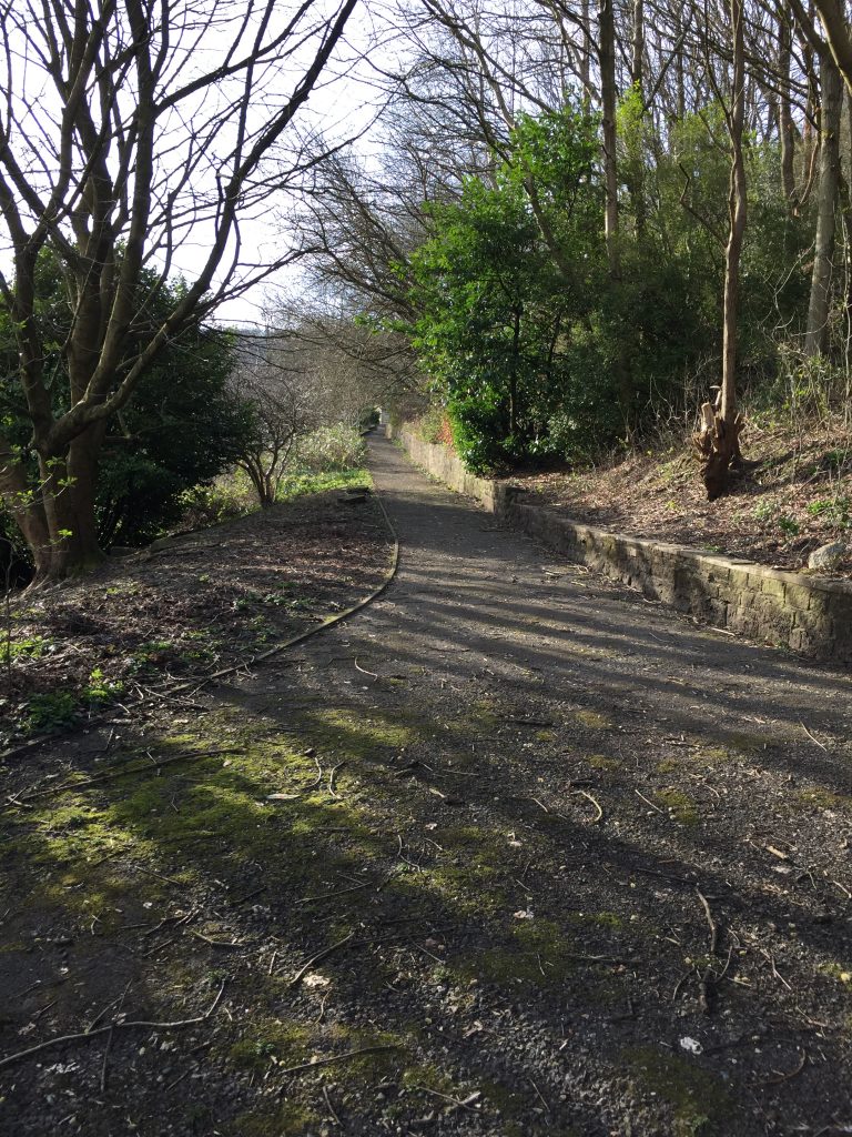
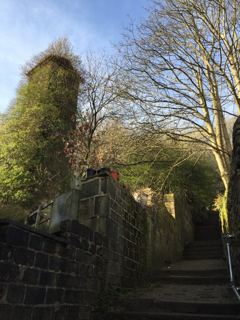
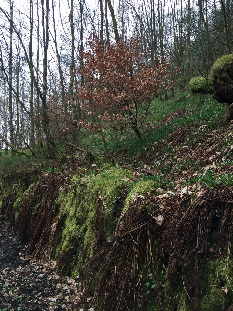
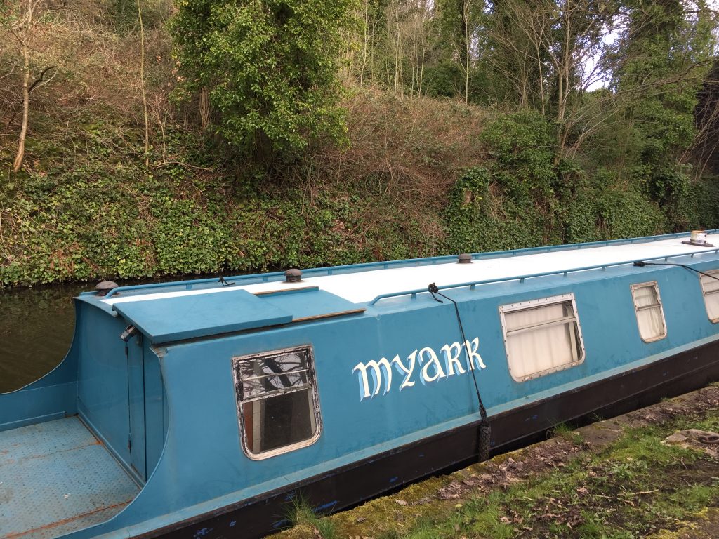
It turned out to be a cycle track that runs (should that be ‘pedals’ ) from Manchester to Hull – that’s virtually coast to coast. This section follows the train track very closely. I noticed that some of the retaining walls are made from railway sleepers.
New use for old sleepers
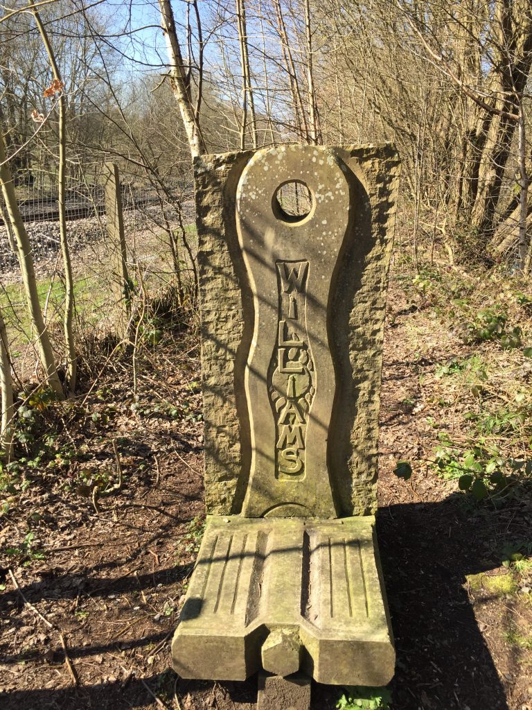
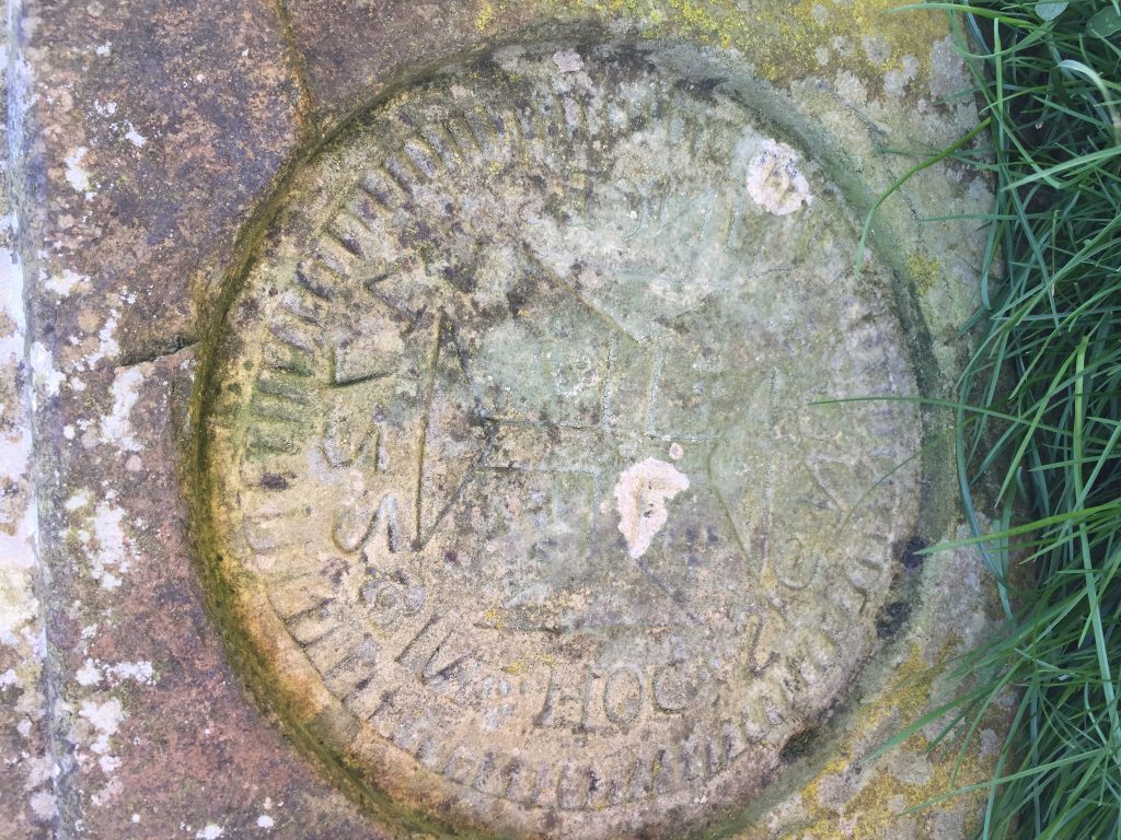
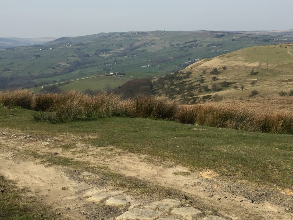
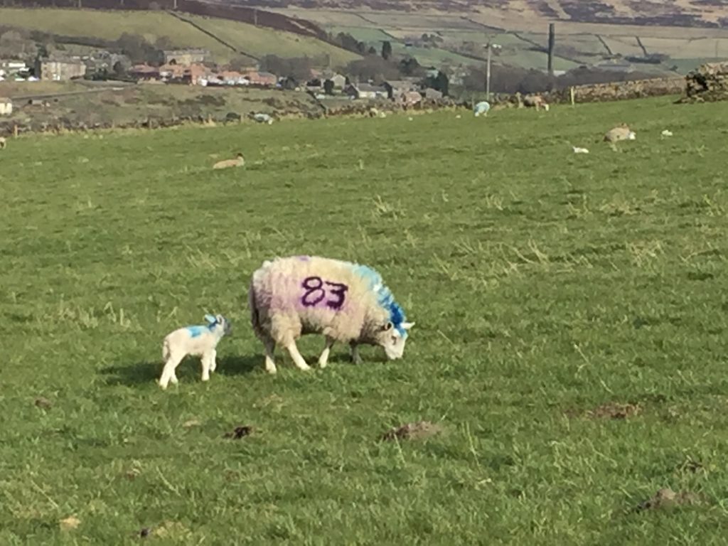
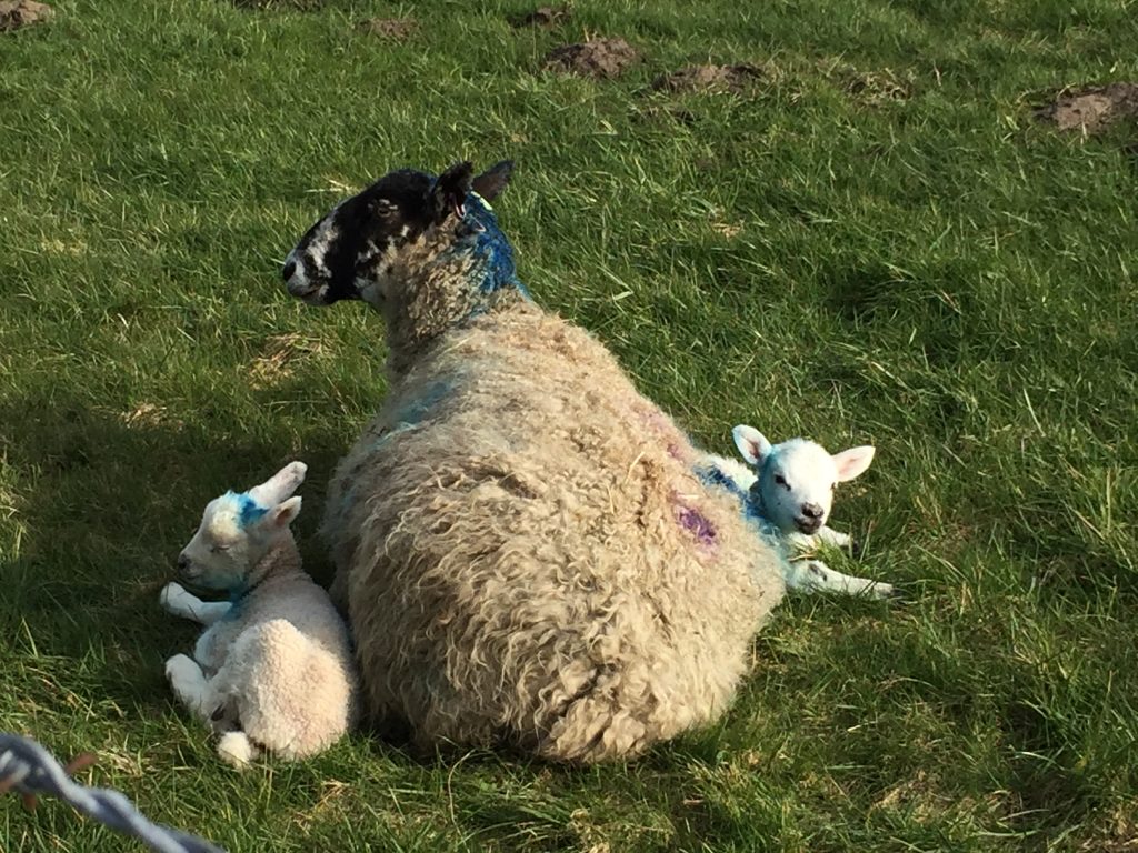
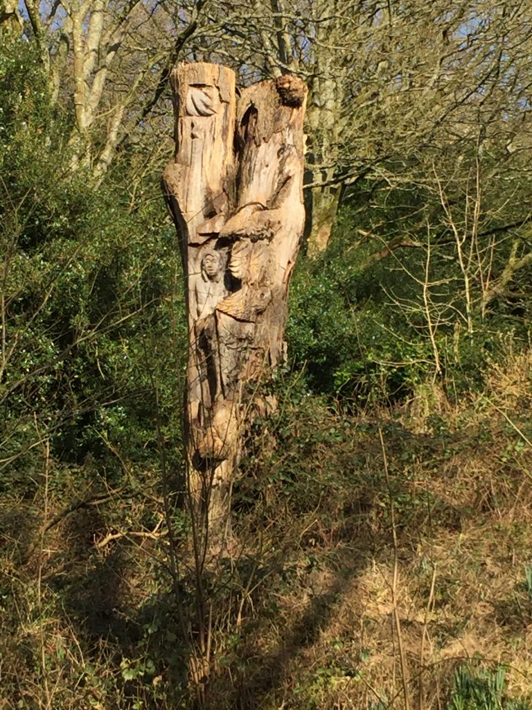
Occasionally a train passed by with only one or two passengers aboard. The path was very straight and very flat which made a change from the other walks I’ve been doing all week. There were several families with baby buggies enjoying the beautiful Spring day. Suddenly I came to a rather odd plinth with ‘Williams’ engraved. The design looked quite avant garde and was around 5ft high. Quite a puzzle.
The sculptor is Mike Williams and he also did the ones in St George’s Square in 2006.Here comes the train
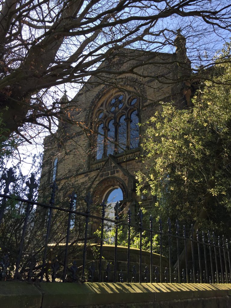
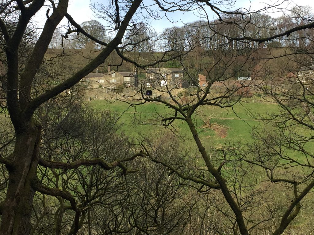
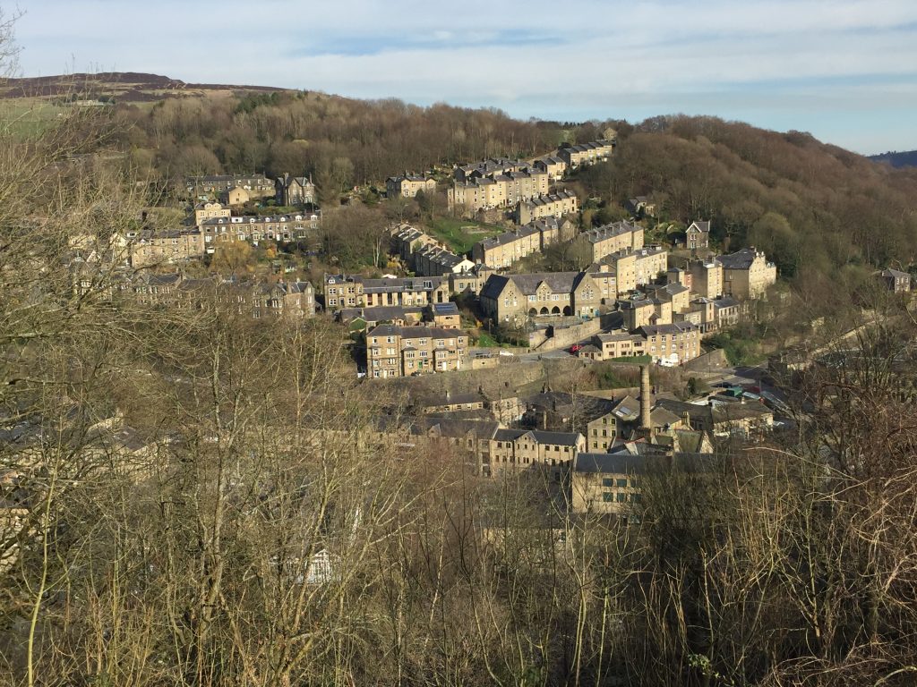
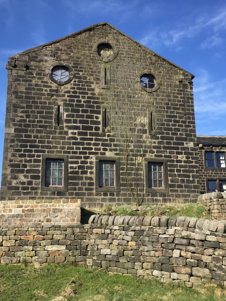
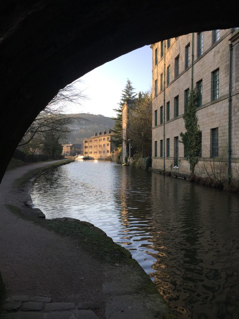
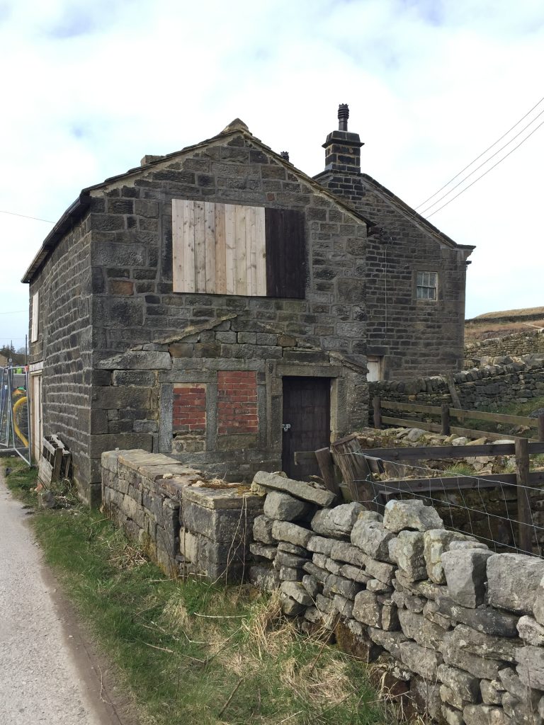
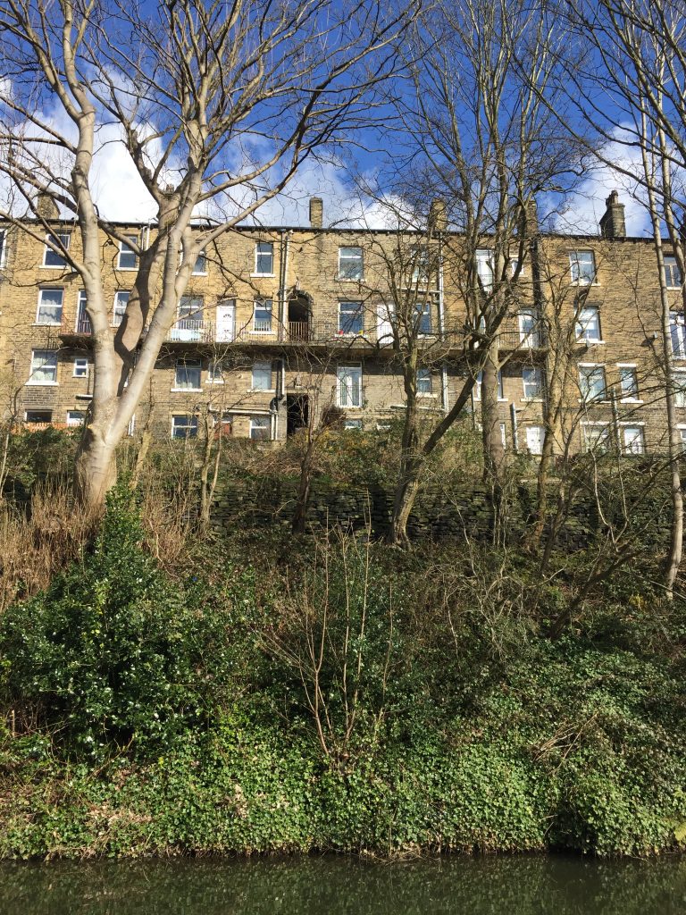
Eventually I came out of the woods and realised where I was. I was at the old school house which I’d admired from the canal and the bus for two years and always wondered how to reach it! It’s a very imposing building, now sectioned into apartments, with an attached manse, but though I can find lots of ads online for the apartments I’ve not been able to discover anything about its history. I think I’ll have to put a message on Facebook to the Mytholmroyd History page. It’s been very useful in similar instances.
The imposing facade of the ‘School house.’
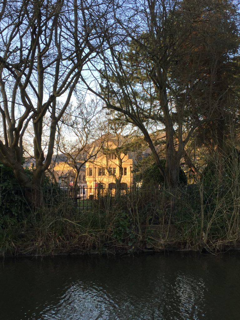
Across the valley I could see Brearley Hall where Branwell Brontee rented a place to live and an ancestor of mine did the same.
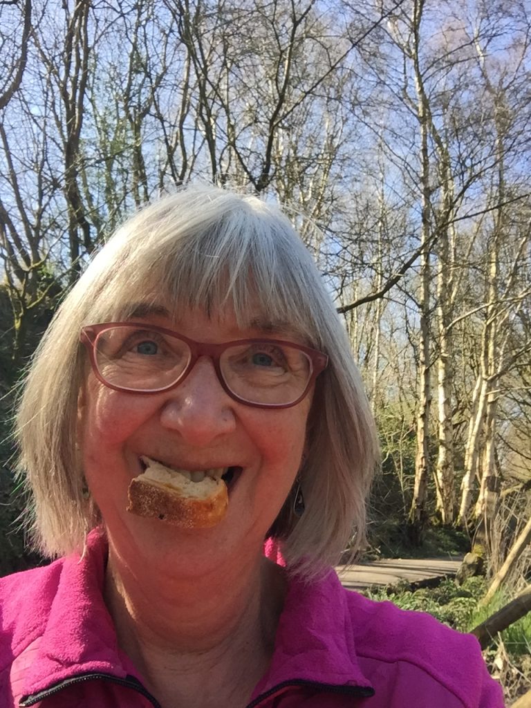
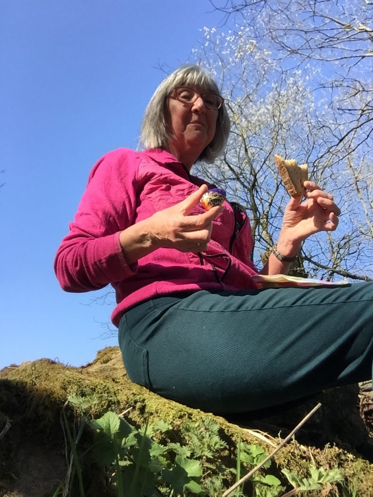
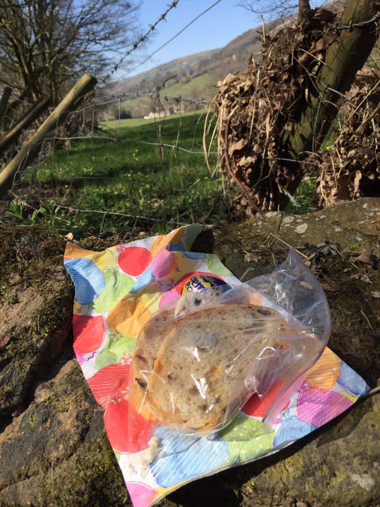
Having walked 3.5 miles I decided to stop and have my picnic, choosing a sheltered spot by the river and while I ate the geese kept me entertained. I’d brought my art supplies but hadn’t found a good place to sit and draw, so I headed back.
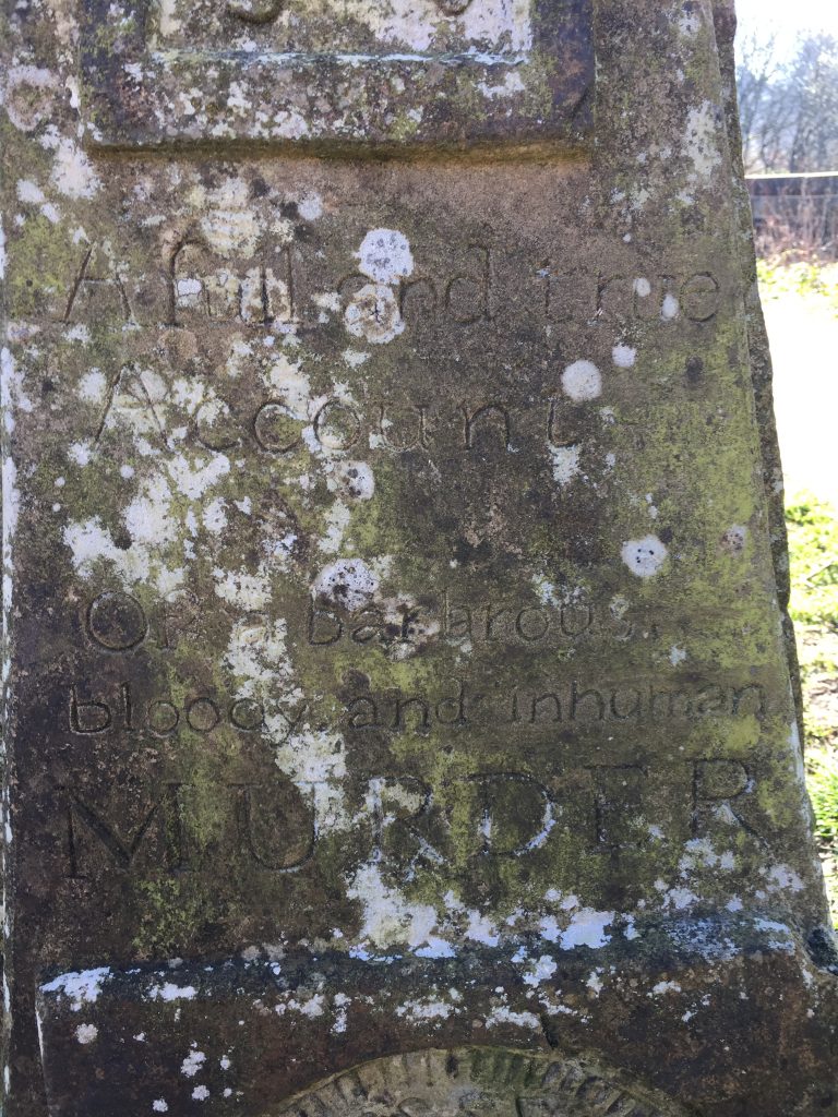
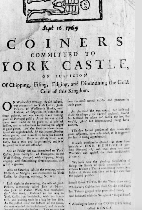
I noticed a stone post by the path, close to the railway bridge, which I hadn’t noticed on my outward journey. on closer observation it looked ancient, but it bore the carving of a skeleton and some words, hard to decipher but Murder was definitely one of them.
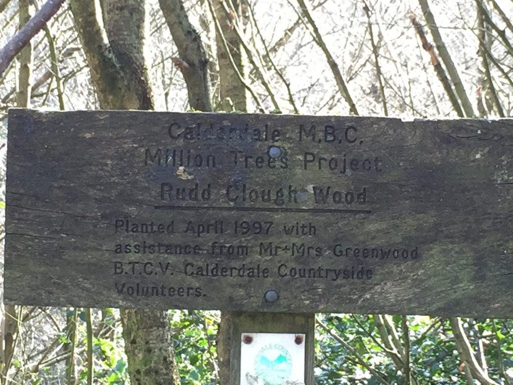
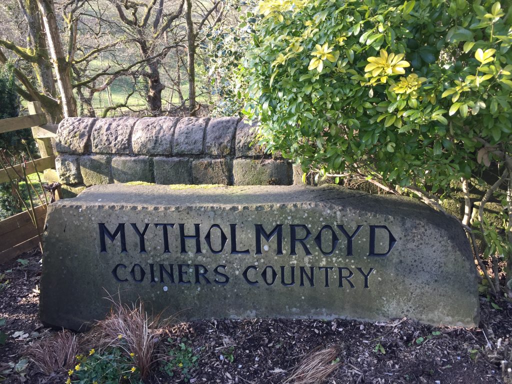
When I got home I discovered the story behind this plinth and the one I’d seen earlier. My thanks to VisitCalderdale.com for a succinct story of the Cragg Vale Coiners. I didn’t know the story until I read The Gallows Pole by local writer Ben Myers.
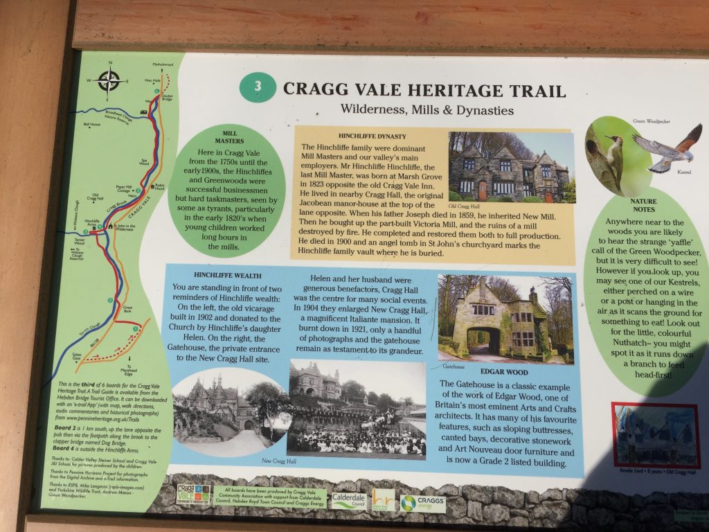
The apparent tranquillity of Mytholmroyd belies a murky past involving an 18th century counterfeiting gang, the ‘Cragg Vale Coiners’. This gang’s activities were said to be so damaging that they threatened to wreck Britain’s currency.
David Hartley learnt his trade as an ironworker in Birmingham, before getting into trouble and moving back to Mytholmroyd to escape the authorities. Once returned to his home at Bell House farmhouse (which is now a bed & breakfast accommodation with educational facilities) David used ironworking as a cover to clip or file the edges from gold coins, milling the edges back so the change was all but unnoticeable, and making counterfeit coins from the shavings whilst returning the clipped coins into circulation.David’s activities soon spread to other farms, with families at nearby Hill Top Farm and Keelham Farm soon becoming involved; forming the beginnings of the gang of Cragg Vale Coiners. Local publicans also helped by placing the counterfeit coins into circulation. David Hartley seems to have been an enigmatic leader, becoming known as ‘King David’ Hartley and the gang’s numbers grew considerably until well over 30 individuals were involved.
Rumours of the gang’s activities reached the authorities, who sent an excise man named William Deighton to investigate. One of the coiners turned King’s Evidence and betrayed the gang, leading to Hartley’s arrest at an Inn in Halifax on 14th October 1769. Hartley’s brother Isaac offered £100 to anybody who would kill Deighton. It is alleged that the plotters planned Deighton’s murder at an Inn in Mytholmroyd called Barbary’s, which is now gone, but was located on the opposite side of the road to the present day Dusty Miller. On November 10th 1769 at Bull Close Lane near Halifax, Deighton was approached by two men, Matthew Normanton and Robert Thomas. Deighton was shot dead, his body also showing signs of having been stamped on. Just days later, the Government offered a reward of £100 for information leading to the arrest of the murderers and a pardon for anybody, bar the killers, who would turn King’s Evidence.Over 30 people were subsequently arrested, including ‘King David’ Hartley, who was sentenced to death on April 6th 1770 and hanged at Tyburn, near York, on April 28th. His body is buried in the graveyard of the village of Heptonstall, above Hebden Bridge. Robert Thomas was acquitted of Deighton’s murder, but was later hanged in 1774 for being a highwayman. Matthew Normanton initially fled the authorities, but was later caught and hanged in 1775. Isaac Hartley was never brought to trial due to a lack of evidence and died in 1815, aged 78.
A few days later I got some more information about the Coiners and the monument: There is a carving of the skeleton which appears in the attached 1769 document. The quote “A Full and true Account of a barbarous bloody and inhuman murder” also comes from some document or book. Below that is a carving of one of the dies used to stamp the clipped coin and is a Portuguese moidore. On another face of the stone is a pair of shears for clipping the coin and on another face I think it is a file.
As I passed Mytholmroyd station a train drew up to the deserted platform. No-one got on and no-one got off. I immediately thought of Adelstrop. As a child I was sent to elocution lessons which initially took place in a room above the Coop in the centre of Bolton. My teacher was Mrs Dora Monks. As I progressed through the Royal College exams I also progressed to my lessons being held at her home. It felt like a mansion to me. The door was opened by a maid in. a maid’s uniform and I was shown first into the cloakroom and then into the study overlooking the main road. Adelstrop was the name of a poem and on a trip to Gloucestershire I visited Adelstrop in memory of the poem. It’s about a journey Edward Thomas took on 24 June 1914, during which his train briefly stopped at the now-closed station.
“Yes. I remember Mytholmroyd— The name, because one afternoon Of heat the express-train drew up there Unwontedly. It was late March.
The rails rattled. Someone cleared his throat. No one left and no one came On the bare platform. What I saw Was Mytholmroyd—only the name
And willows, willow-herb, and grass, And meadowsweet, and haycocks dry, No whit less still and lonely fair Than the high cloudlets in the sky.
And for that minute a blackbird sang Close by, and round him, mistier, Farther and farther, all the birds Of West Yorkshire’s Calder Valley”
(with apologies to Edward Thomas)
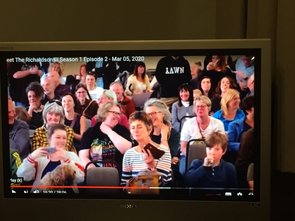
After my 7.1 mile stroll I taught my first online lessons of the present crisis and in the evening I tuned in to ‘Meet the Richardsons’. To my surprised I found that I featured in Episode 2. Last Spring I’d attended the annual Dock Pudding world championship in Mytholmroyd and the person who presented the winner’s trophy was someone I recognised from 8 out of 10 cats – Jon Richardson. I later discovered that he lives in Mytholmroyd and the series is filmed in his home there and in Hebden Bridge. I’d noticed the big movie cameras filming the event but thought nothing of it – until now. Here I am sitting watching ‘me’ in the audience!
So, returning to my first paragraph: Route 66 was one of the original highways across America. The highway, which became one of the most famous roads in the United States, originally ran from Chicago to Santa Monica. (A postcard arrived from Chicago yesterday from Rachel). I’ve travelled many of its desert stretches in New Mexico, Arizona and California. (I travelled 7.1 miles of it today in West Yorkshire) It was recognized in popular culture by both the hit song “Get your kicks on Route 66” (I appeared in a popular culture TV series) and in John Steinbeck’s classic American novel, The Grapes of Wrath (1939), the road “Highway 66” symbolized escape and loss. (very applicable to our present situation)
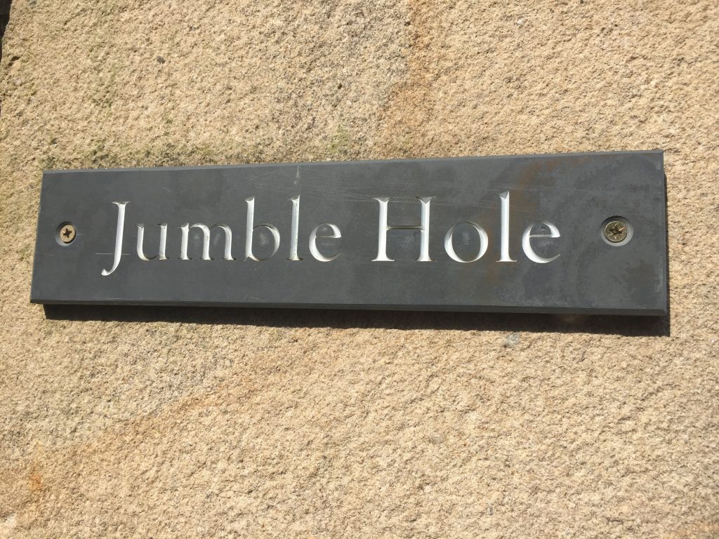
Pennine Horizons has a series of online guided walks. There’s a map which tracks your progress so you can see where you are and at various points you stop and listen to a description of what’s in front of you – it’s history primarily. So off I went, bound for Jumble Hole. I’d been to this steep valley with its mill ruins once before, in 2016. This is what I’d written about that day:
“A Lazy Day in Lumb – July 6, 2016
I’m sitting in the 700 year old Hebden Bridge Mill having tea (Yorkshire tea from Harrogate, of course) and chocolate shortbread. I’ve just hiked from my mill to the tiny village of Colden through the historic Colden Valley, a place full of evidence of man’s impact on the landscape during the industrial revolution, and the use those mills buildings, waterways, cobbled packhorse trails and stone foot tracks are being put to today. I’m now getting used to hikes that claim to be flat and are ‘suitable for any reasonable fit person.’ They are, in fact, never flat and often involve going up and down hillsides that are so steep that they require steps. At times I found myself high above Colden Beck looking down on an almost vertical hillside where trees and ferns cling to life in places that the sun never ever reaches. I passed the two chimneys of Upper and Lower Lumb mill rising like giant monoliths to some long-forgotten god of the forest. I tried to conjure up the ghosts of the people whose clogs have worn grooves into the steps and stones on which I’m sitting. Above the mill I passed over the dam which once held in the mill pond but now it only holds reeds. The clapper bridge was unusual in it being 2 stones wide, and lucky for me an iron rail has been added 🙂 I wasn’t too keen on the gap between the stones through which I could see the raging torrent.
“Brave dreams and their mortgaged walls are let rot in the rain.
And the nettle venoms into place
Like a cynical old woman in the food-queue.
And the sycamore, cut through at the neck,
Grows five or six head, depraved with life.
Before these chimneys can flower again
They must fall into the only future, into earth.”
(from ‘Lumb Chimneys’ by Ted Hughes)
Coming out of the dense forest lining the valley I now found myself on ‘t tops. I’d looked up the New Delight pub, Colden’s main claim to fame, so I already knew that it was closed from 3-5 pm. I hadn’t copied down the return path directions and I didn’t much fancy the idea of trying to follow my outward direction backwards so I found a bus stop by the campsite, with a timetable, and waited 20 minutes for a zippy bus, being entertained by watching all the parents coming to pick up their children from Colden school. “
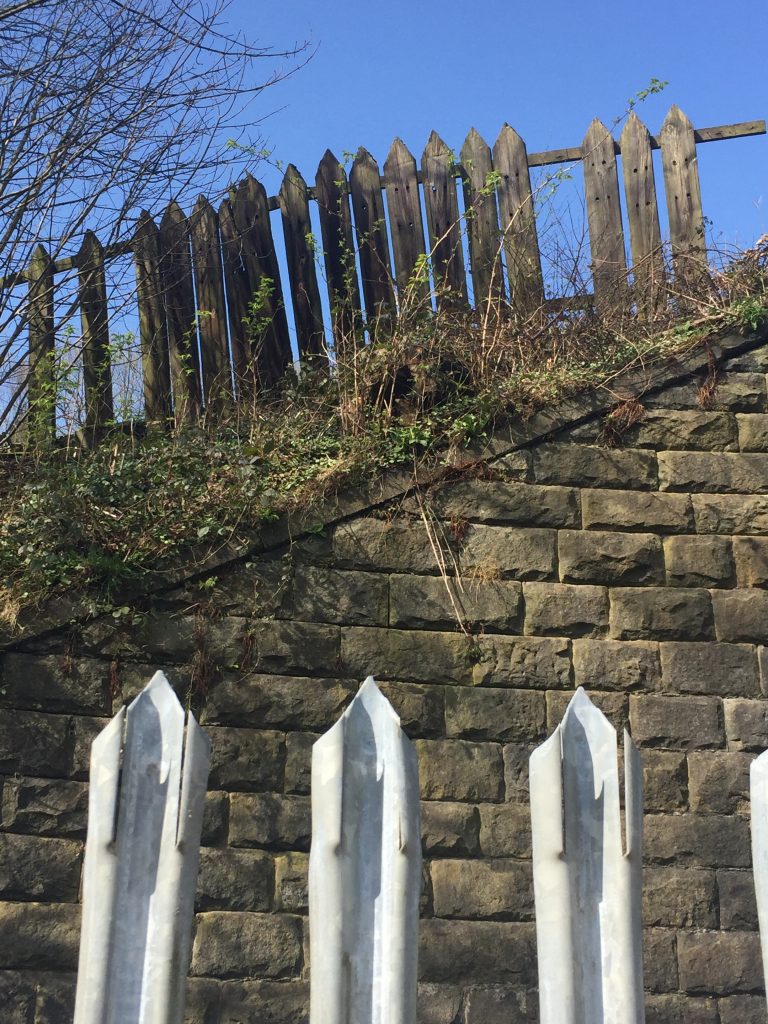
The old and the new – the railway is behind the fence
Beauty and the beast
Blending into the woodwork
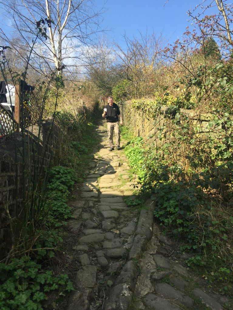
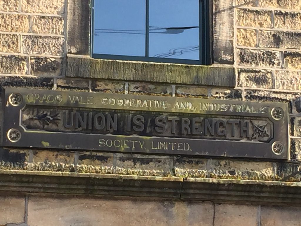
I followed the road from Stubbings Wharf to Underbank since the canal towpath had been closed since the February flooding. For 200 years Stubbings Wharf has catered to traffic on both sides, the turnpike road to Todmorden on one side and the canal bargemen on the otherI once went to a meeting of the Ted Hughes society in the upper room but I had no idea until I listened to the audio guide today that ’40 years before Hughes was born his grandfather was pulled drunk from the canal and proceeded to spend the rest of the even ing wrapped in a sheet singing contentedly to anyone who would care to listen.’ It’s a place I always take family and friends when they come to visit. Above Jumble Hole is the tiny community of Winters (which most people I’d spoken to in Hebden Bridge hadn’t heard of, it’s so small) which I’d explored for the first time in November. Once of my ancestors once kept a beer house there – see Winters blog post.
I elected not to take this steep cobbled path that this person was walking down with a cup of tea in hand! He lives at the house on the left.
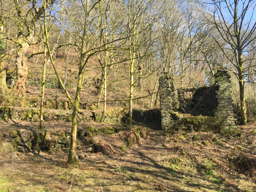
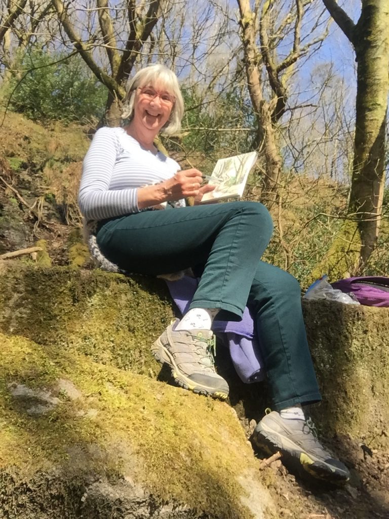
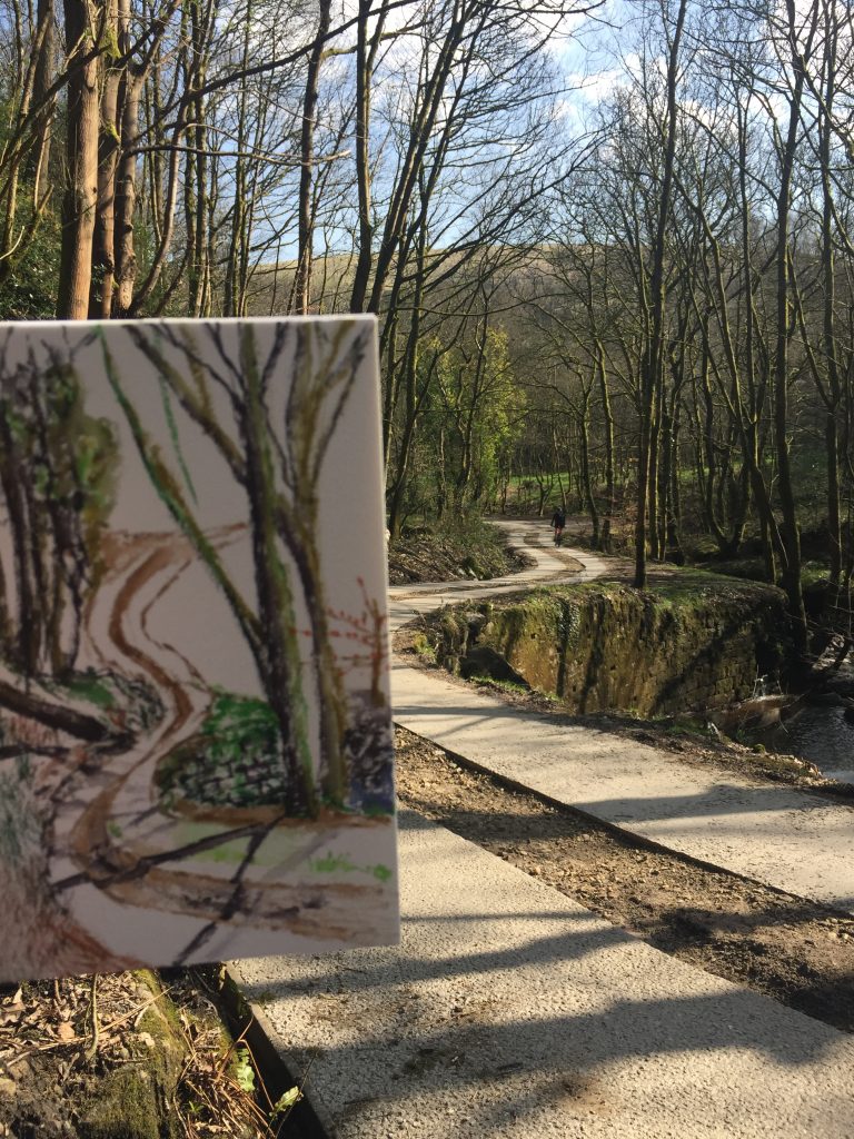
I’d taken my painting supplies with me for the first time today and I soon found a large fallen gatepost to perch on and happily sat for 45 minutes painting with the watercolour pens Anna had sent me for Christmas, and having a lovely picnic of Wesleydale cheese with cranberries and with apricots. I was surrounded by ruins of mills and houses and the background music was the rushing of the river which powered the mill. I listened to the audio commentary. In the early 19th century Jumble hole was an industrial centre with four large mills and several houses. I’m a little confused as to which mill I was sitting in – Jumble or Staups, but I thin it was Jumble.
I’ve always been attracted by ruined buildings and have spent a lot of time in the deserts of California and Nevada exploring ghost towns. This is the equivalentArtist at workWork in progress
As I was sitting a couple of vans went up the road and so after my picnic I set off to see where the road led. After a very steep section with loose gravel I realised I wasn’t going to be able to come down this same path. Just at that moment a lady was coming down the path and I verified that this path led to Winters. She told me that the really slippery section was only for a short time and that soon I’d find myself on a cobbled track that had be recently cleared of debris, and this led to Winters. once I knew that I was fine.
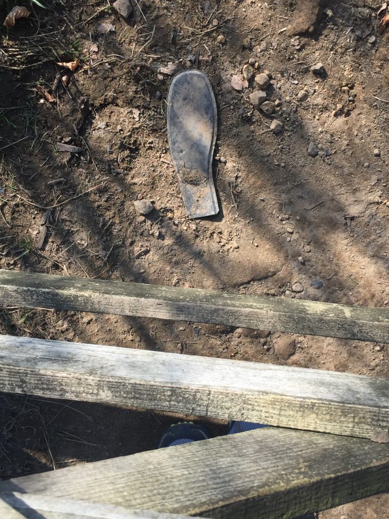
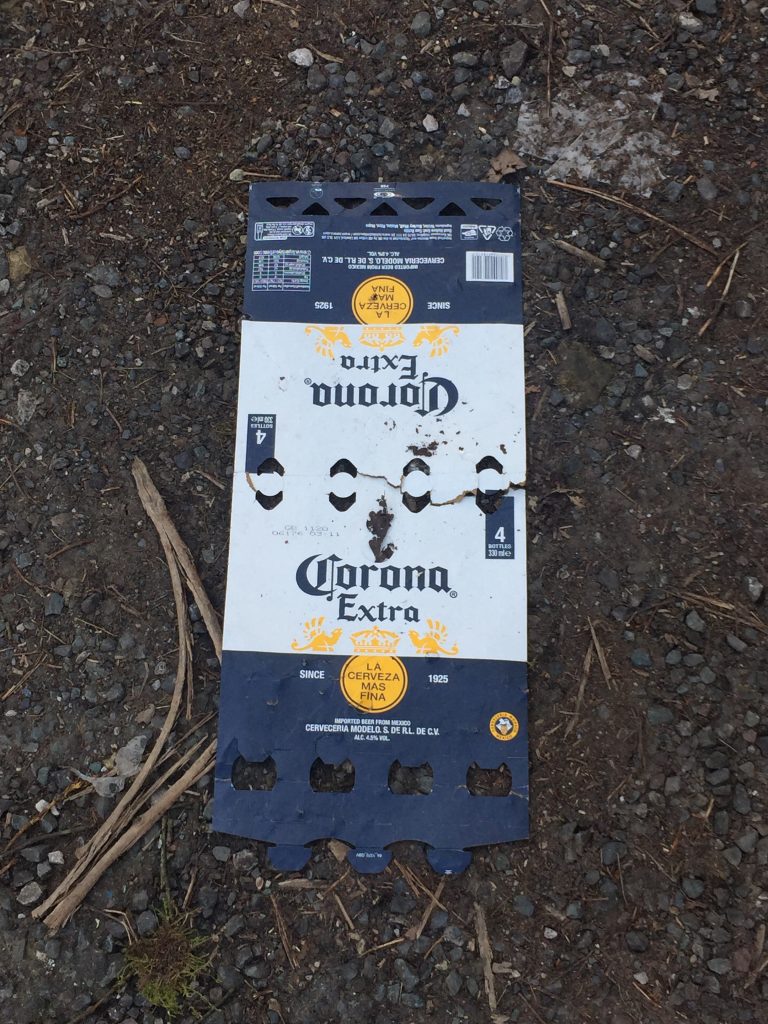
The well maintained cobbled section. Was this an ancient pack horse route? I could pick out the track to Stoodley Pike I was on two days ago A lost sole on Dark Lane (It is really called Dark Lane!)As I stepped off the really steep track down to Rawtenstall I couldn’t help but take a photo of this empty beer box.
And as i rejoined the towpath along the canal for final half mile I found that someone had left me a star for completing my big climb.
Hmmmmm – 5.5 miles, 765 ft of uphill! CV of the day (from a print making class I took recently)
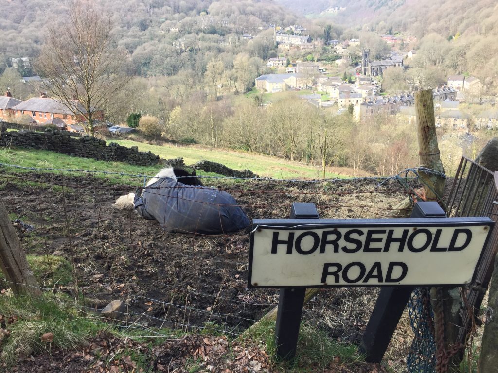
Hebden from the steep path up to Horsehold. Heptonstall is on the opposite ridge
On a level with Heptonstall church. First day without a beanie
What the??? I watched him vault over that 5 barred gate!
Great ingenuity
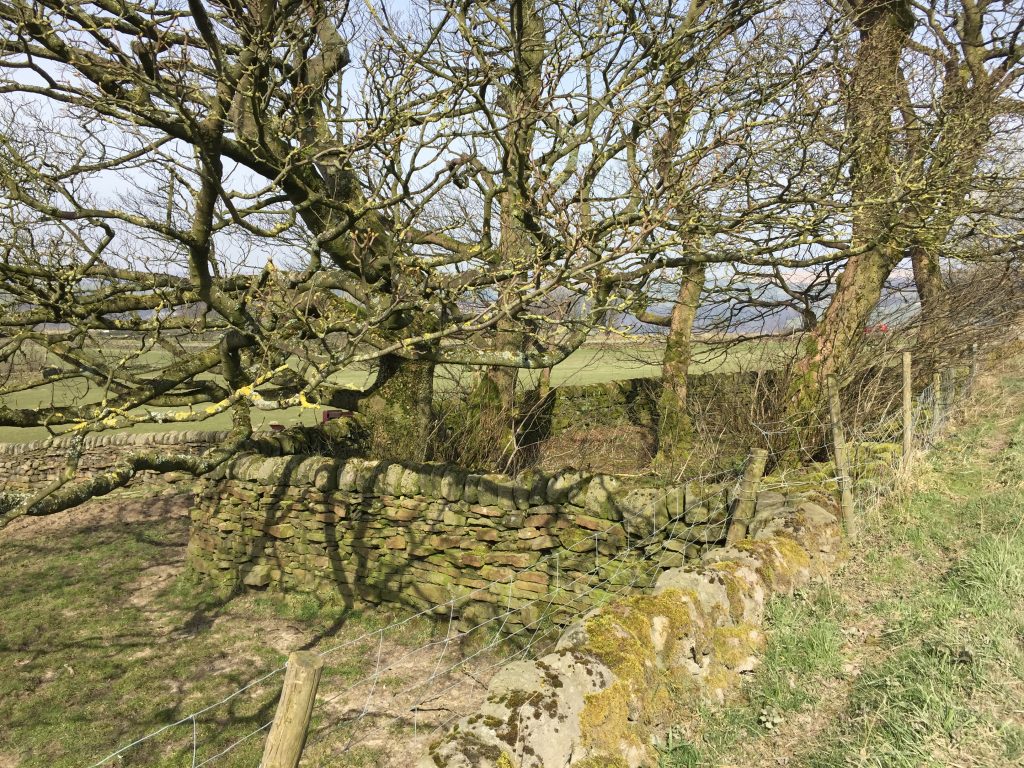
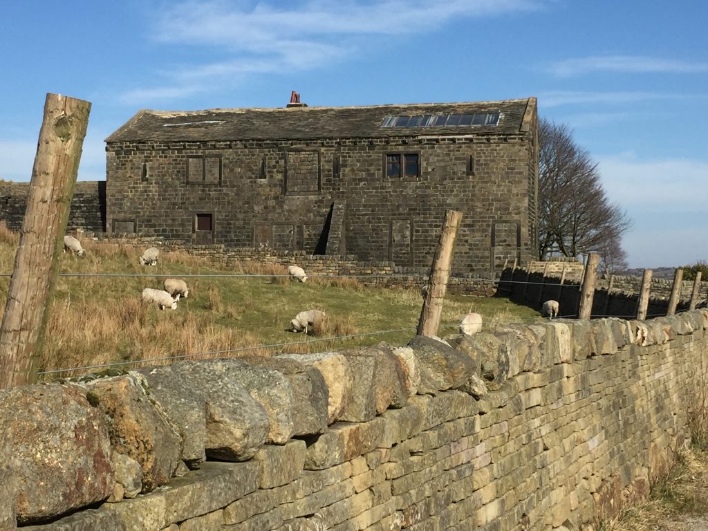
Erringden Grange, on Kilnshaw Lane above Hebden Bridge, is an early 19th century listed farmhouse and barn. (Erringden thought to be of Norse origin “The valley of the high ridge”). It also has numerous adjacent fields with rectangular field patterns, as well as an old Hawthorn hedge now in need of some care and new saplings for continuity. But what makes the fields unique in the Calder Valley are the small diamond shaped enclosures at all the wall intersections. There are (or were) about 50 of these enclosures shown on the OS map of 1849 and each contains planted trees of mainly Beech and Sycamore. These trees are possibly over 180 years old.
I believe I can see Bridestones where I was a couple of days ago on the far hill
Erringden Grange. I just love this place and have taken basically the same photo each time I’ve gone past it. Part of it is in ruins but I think part of it is lived in
A pen for farm animals to shelter at the intersection of the walls
When this lady got close to me she called out, “Is the pathway wide enough for us to get 2 metres apart?”
Interesting wear on this post. It looks like tow ropes from the canal!
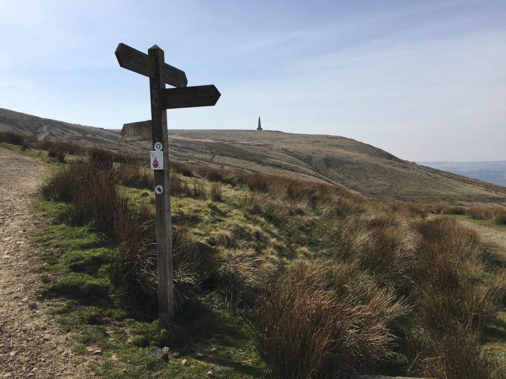
As close as I got to Stoodley Pike today. It’s about another 30-40 minutes to the top from here.
My usual modus operandi on my hikes from my front door is to catch a bus on t’ th’ tops and hike from there. But these are not normal times and so, after several days of 6-7 mile hikes I decided to go ‘up first.’ A couple of days ago I’d walked down from Jack bridge so today I started from my front door and walked up to Jack bridge. The only time I’d done the walk this way round was the first time I ever did it, in 2017, when I was in England for the summer, and I’d followed a footpath pamphlet which had little indication of the climb involved. And I have to say I was actually surprised that it took me about the same time to walk up as it does to walk down. You get a different view and I saw things that I’d not noticed before.
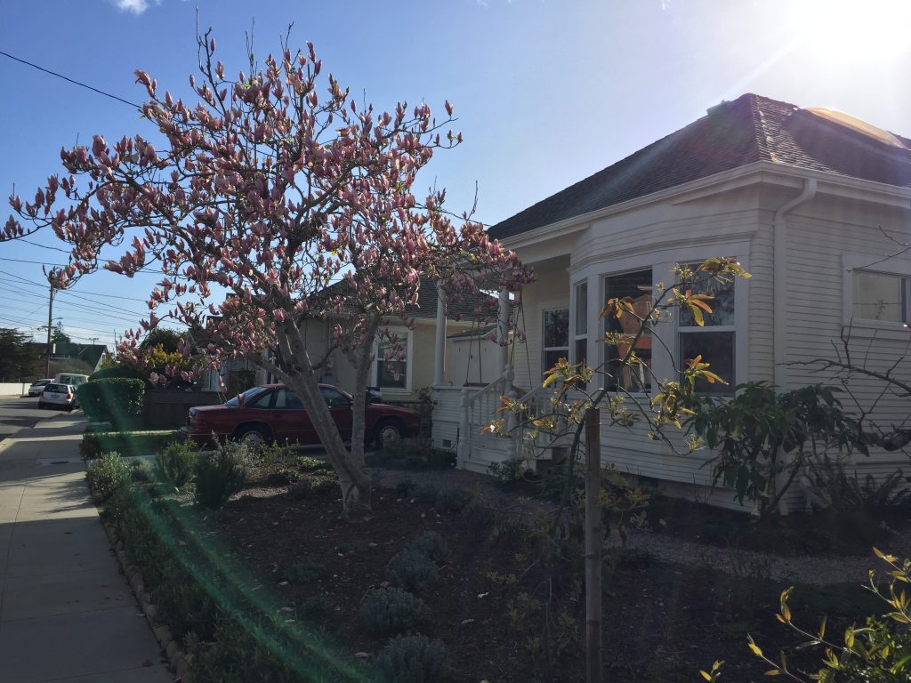
Magnolia in bloom in my garden in Santa CruzThis magnolia just coming in to bloom made me think about my old house in Santa Cruz with its beautiful magnolia out front
Heading up the valley I saw several of these new signs. This road, Hudson Mill was accessible by car until the 1960sWalking up rather than down I suddenly recognised this building on the opposite side of the valley. this is Lumb Bank which belonged to poet laureate Ted Hughes and is now a writers’ retreat and learning centre. I once got a guided tour. My eagle eye spotted this owl – ok, my owl eye, and it’s not spotted
CV of the day
Eventually after about an hour I came out of the woods, passed Hudson Mill where my ancestor Sunderland had lived (see a former blog) and found myself opposite the New Delight pub, which, of course, is closed. A couple of weeks ago I used its name in a new song I wrote for the Hebden Bridge Little Theatre choir.
First hike of the season without my beanie. A couple of days ago the temperature on my hike was 42F. Today it was 54F
The rest of my hike would be along paved roads. The little zippy bus was parked on Smithy Lane at the turnaround and for a few moments I considered getting on it to go back down the hill but I was in no hurry to get home so I continued walking. In front of my was Edge Lane where I’d explored for the first time a couple of days ago. Now I could see exactly where my route had taken me, passed Spinks House. A little further along I passed an old building, The Smithy, now a private dwelling. i’d never thought of Smithy Lane as being where the blacksmith’s was once located. Up until now it had simply been a bus destination.
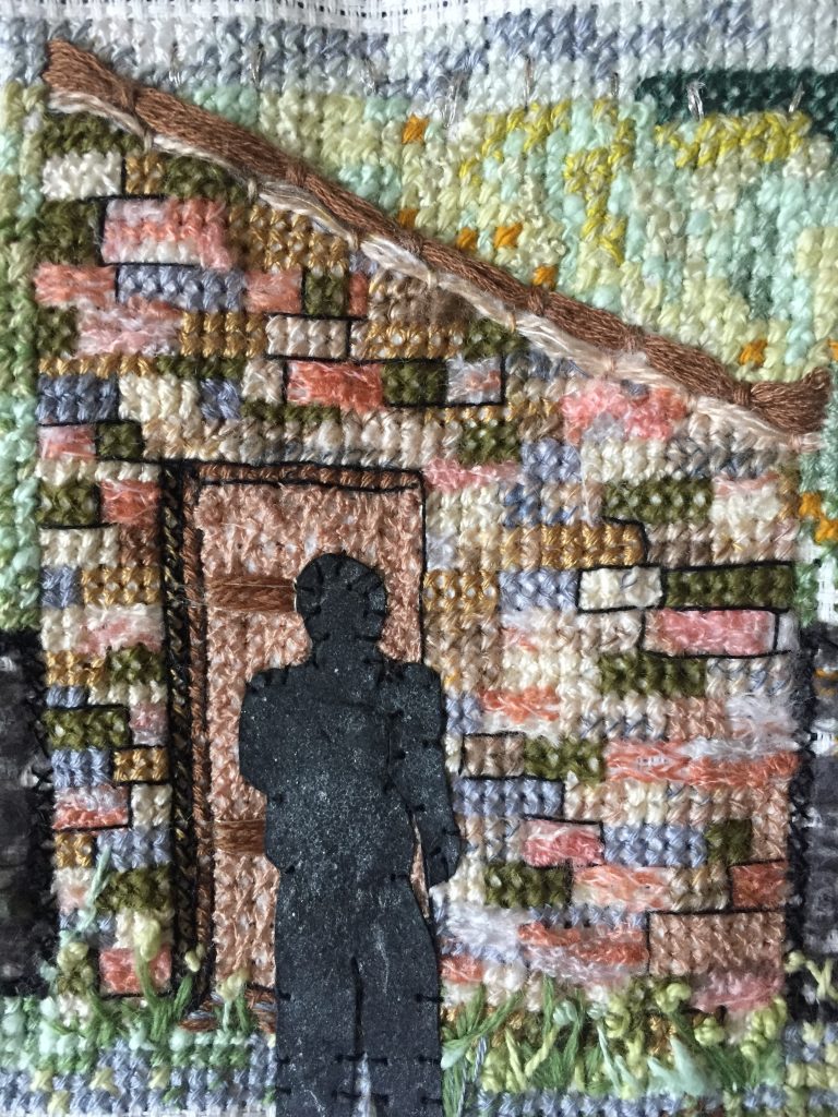
I passed Edge Hey Green where a row of cottage was once divided from the outdoor toilet by the road. Last year I’d made a textile panel of one of the toilet outbuildings for my ‘doors’ project.
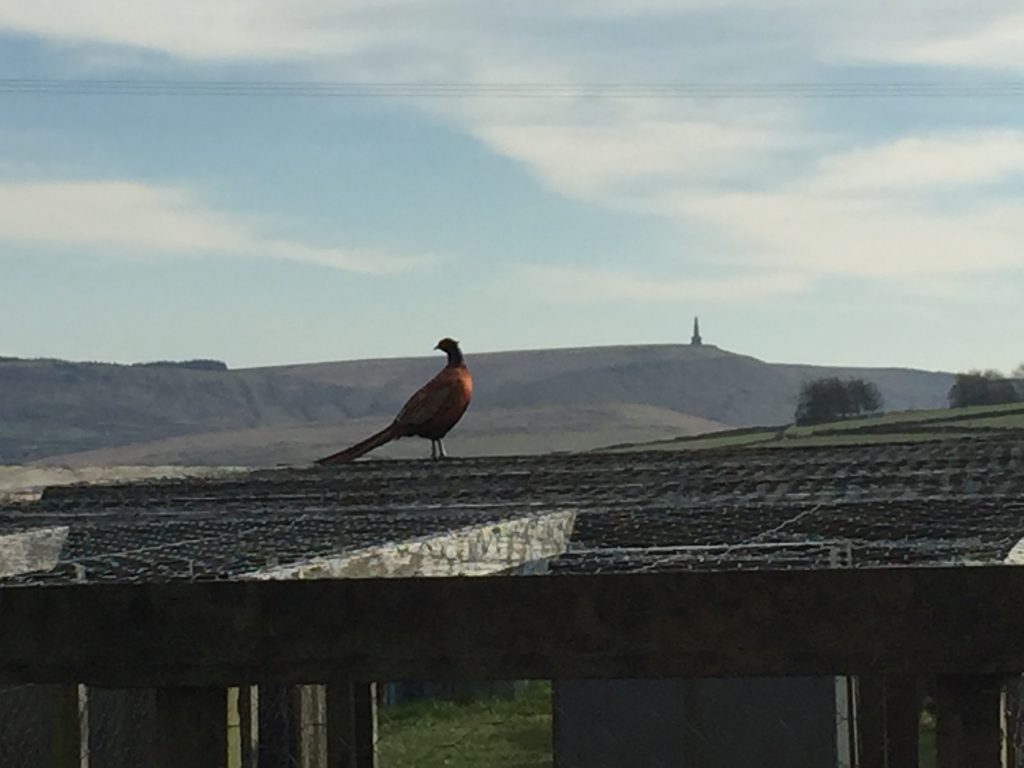
At Popples CommonStoodley Pike with pheasant
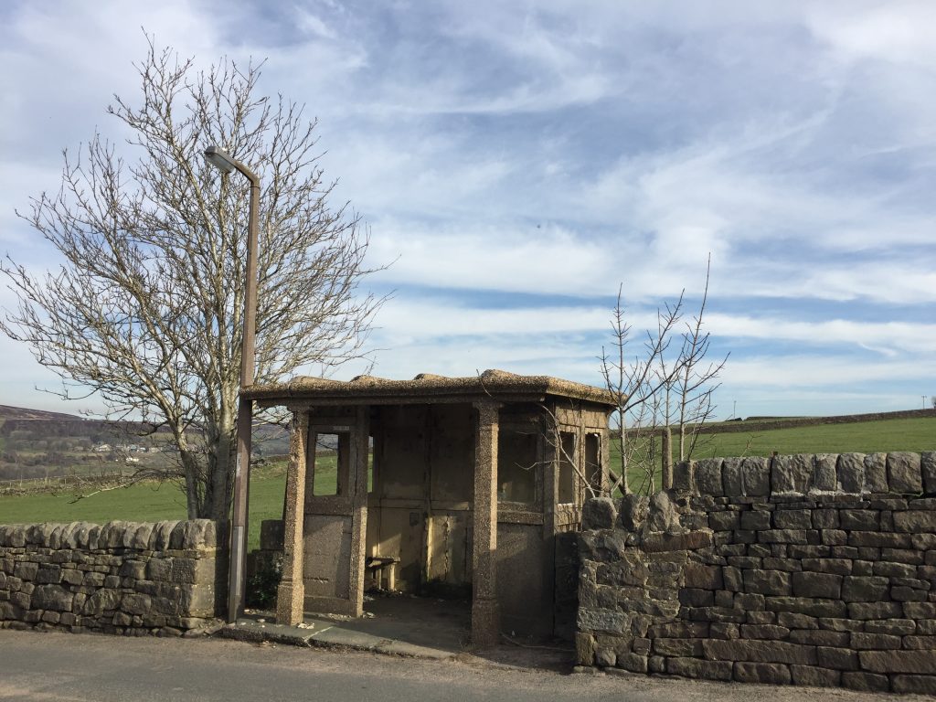
Stoodley Pike with hay balesStoodley Pike with poniesMy favourite ancient bus shelter – Slack Top
On this flat land there once was a city – Dawson city
Wooden huts for the workers were built at Whitehill Nook, just below Draper Lane in Heptonstall/Slack and it became quickly known as Dawson City, after the Klondike city. I’ve been fascinated by this story since first seeing photos of the shanty town in the White Swan in Heptonstall on my summer visits to the area. By the time of the 1901 census, when Willie Wrigley was staying at the Pack Horse, Widdop, ten of the workers’ huts were occupied. Wives and children moved here with their husbands and soon the impact was felt in the local community. The Board School, built by my ancestors, of course, could not accommodate the extra children and so a spare room in the school master’s house was brought into service for the additional thirty children that came from Dawson City. Sanitation in the new city was obviously going to be a major problem and even as early as February 1901 two cases of typhoid had been removed from the shanty town to the Fielden hospital in Todmorden. In 1903 smallpox broke out. The navies were required to keep their children off school. Smallpox victims were taken to the isolation hospital at Sourhall close to Todmorden and vaccinations were given and a field hospital was built at Dawson city being constructed rom a tent and capable of caring for 14 patients. But in October 1903 it blew down in a gale. In all there were 60 cases of smallpox in the Hebden Bridge and Todmorden area, but only one patient died. In 1909 a woman, Mrs Edgar Harwood, fell from the bridge after going ‘for a stroll to admire the view.’ She was well known in Hebden Bridge and ran a dressmaking a millinery business under the name Townsend (her maiden name I think) and Milnes.
Hebden Bridge from Lee Mill Road below Heptonstall
This was once High Street, Hebden BridgeThe chimney is all that remains of Cuckoo Steps MillIs this lamp the one on the 1961 photo?Salem Sunday School on Bridge Lanes can be seen not long before its demolition. At the top of the picture Hebble Bridge can be seen with the start of the roads to Fairfield to the left and Horsehold to the right.
This area is set back from the main road and was one of the earliest major settlements in the town, dating back to the early 19th century. It was known as High street because of its elevation, not for its commercial prominence. Even on a totally dry day I find the steep cobbles between the steps very difficult to negotiate. The former mill itself is a three storey building on the main road, which I’d never noticed until today.
I posted the photo of Cuckoo Mill steps on the Hebden Bridge photo page and I was very surprised how many interesting comments it generated:
Ran up and down those steps many times as a child, remember when they filmed the movie 39 steps?
Hauled myself up those steps all through my pregnancy in 1980, kept me very fit
I had actually forgotten them til I saw this pic
I used to hate having to walk up them steps. 😂
I wish I had a pound for every time I have run up there!
Cuckoo Steps – Update, April17
A couple of weeks
ago I took the short cut from Heptonstall road to Market Street. An old street.
High Street runs parallel to Market Street and the area, known as Bridge Lanes,
was a high density housing area, demolished in the 1960’s. I have many
ancestors who lived in Bridge Lanes. The old High Street now terminates in some
step stone steps, flanked on both sides by high walls. The sun never penetrates
this place. It’s dank, dark, and for most of the year too slippery for me to
tackle. To the right is the remains of a mill chimney, now only half its
original height and covered in ivy. It’s quite picturesque and in the late
afternoon sunshine it made a pretty photo. I posted it onto a Hebden Bridge
photos Facebook page and I was very surprised by the number of comments it
generated: people reminiscing about their use of the steps many years ago. It
dawned on me later that if those were Cuckoo Mill steps and presumably its
chimney where was Cuckoo Mill. I took on all the local history sites but could
find no reference to Cuckoo Mill. So finally I emailed the Hebden Bridge
Historical Society, of which I am a member, to see if I could find an answer to
my questions. As always, the answer came back swiftly:
There is not a
mill called Cuckoo Steps. The area was part of Breck Mill Estate and the chimney has a flue that
goes under the road and the mill buildings were on what is now the Coop car park. Now I’d read about Breck Mill since
one of my ancestor James Moss had started off his working life there first as a bookkeeper and later as a journeyman. His
obituary shows that he became an important man in the town: Death and funeral
of Mr James Moss
… head of the
welll-known firm of Moss Brothers, fustian manufacturers, Hebden Bridge ….
pneumonia…
Ewood Court … 55 … active members of Hebden Bridge Urban District Council
… leaves widow and five daughters … chairman of the English Fustian
Manufacturing Company … As a boy Mr Moss attended his relative’s seminary
familiarily known as “Moss’s School” at Salem and Slater Bank. His
first occupation on leaving school was that of a book-keeper at Breck Corn
Mill, then in the ownership of Mr James Bairstow. There he remained for several
years and became the rider-out or traveller, for the firm. The time came when
through declining health Mr Bairstow wished to retire from the business. Mr
James Moss had won the confidence of his employer, who entrusted him with
responsible posts while still comparatively young; and he was still in the
twenties when the Bairstow family made him an offer in conjunction with another
employee to handover the business to them and find the necessary capital
wherewith to work it. For some reason or other Mr Moss declined the
offer, and decided to join his brothers who had commenced business as fustian
cutters and manufacturers at Hebble-end.
The flood of 1891
caused the problems for the flour mill, but it looks as if it survived at least
until 1902 but it was all over by 1 July 1916 and a search on the papers just
after this date might provide an overview of its history.
HEBDEN BRIDGE
PAROCHIAL MAGAZINE March. l892 THE FLOOD OF 1891 “But by far the
greatest excitement was in Stubbing Holme, which since 1866 has been covered
with long rows of houses and a large Co-operative Cotton Mill. The Calder,
whose channel was wholly insufficient for the volume of water, bore so
furiously on the part of the Breck Mill which is built over the stream, that it
may be said to have demolished it. The debris so blocked the current that great
part of the water had no escape, and, turned backward, converted the Holme into
one turbulant lake. Strange were the stories told by the inhabitants of the
houses, about the carrying off of large stores of provisions and the like. In
two instances the floor of the cottages sank some inches, producing the
sensations of an earthquake and turning one woman sick. Here, as elsewhere,
horses up to the middle in water,were taken off with great difficulty to higher
ground. Terrible havoc was made in the Cotton Mill, the looms on the ground
floor being submerged. The goods were removed with all possible activity,
damage was done to an extent which, at the lowest compution we have seen £1,000
will not cover. At the Breck Flour Mill the boilers had to be removed, and iron
girders will be substituted for the broken arches, damage has been sustained to
the amount of £2,000. The moon being nearly at full , the whole scene was
plainly visible, and is described as solemnly grand.”
By 1919 it was a
clothing mill owned by Fenton Greenwood.
Find: Hebden
Bridge Times 22 April 1927 OLD HEBDEN BRIDGE BY D. EASTWOOD Cuckoo lane
Bairstows mill. Bridge Lanes.
Somewhere,
yesterday April 16, 2020, I read that
they raised the walls at cuckoo steps to stop the boys peering over at the
slaughter house. This must have been the slaughterhouse at the back of The Bull
in where Joshua Gibson killed himself.
Cuckoo steps, Salem Sunday school demolished in 1962. Photo
taken around 1960
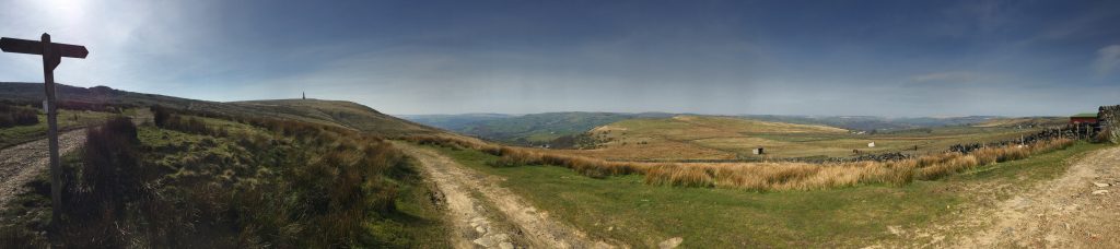
Every time I take the 901 towards Huddersfield I think to myself as the bus climbs up a very steep valley through Cragg Vale ‘wouldn’t it be interesting to walk down this road? I’d see more.’ So today i set out to do just that. Actually to be honest, I didn’t. When I put my coat on to set off my goal was to take the bus to the very top of Cragg Vale and walk from Sykes Gate to Sowerby, a hike a took a few weeks ago for the first time. But on entry into the street there was a bitingly cold wind and the blister on my toe was making itself felt, so an 8 mile hike along th’ tops didn’t seem such a good idea. I was unsure if the bus would show up but it did and it w whisked me up the road proudly claims to be the longest continual ascent in England. 968 feet of climbing in 5.5 miles.
I knew from riding the bus that some of the roadway has no sidewalk but I did find these two happy people showing me where I should walk!
The view down the valley is superb and in this time of uncertainty I thanked my lucky stars that I live in such a beautiful place. I followed the Elphin brook for a little while and then came to a holiday let which Sarah told me about recently. I went onto the drive to take a photo of the view and a lady came out of the fairly new cottage. She is the owner and invited me in to show me one of the three adjoining cottages – very nicely appointed.
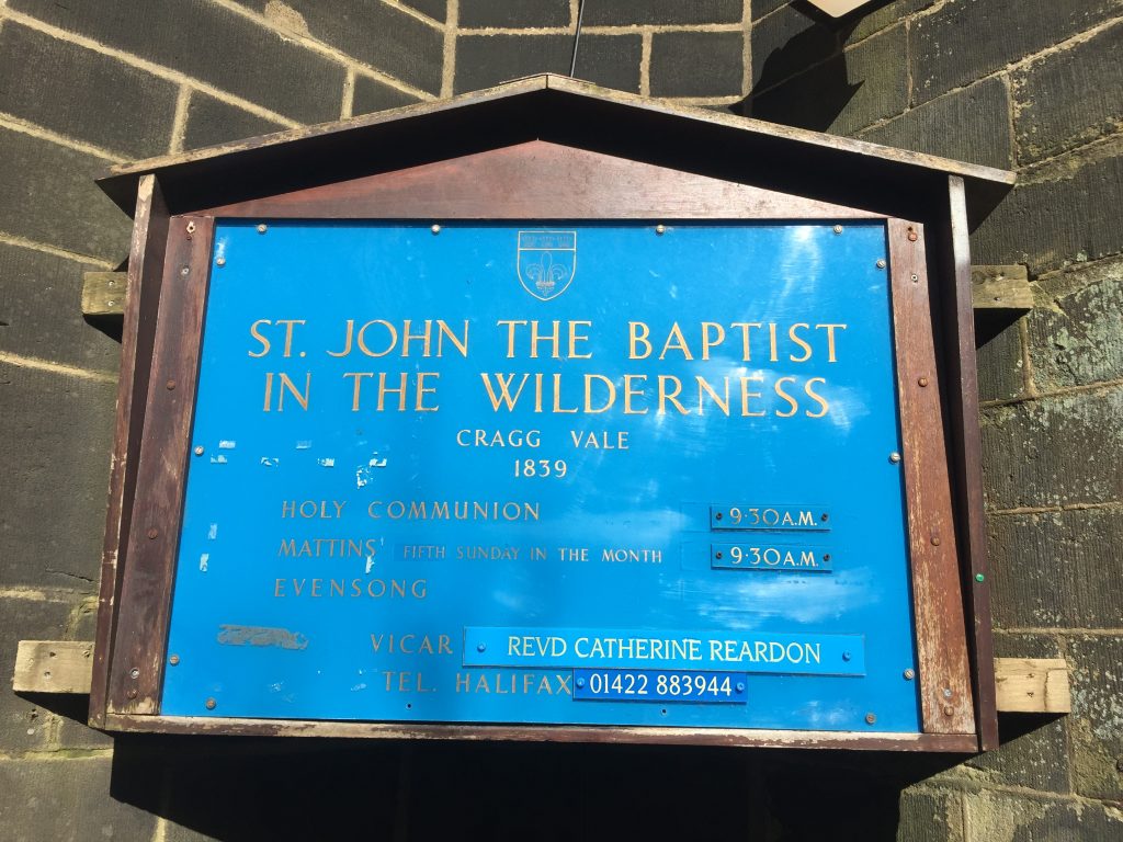
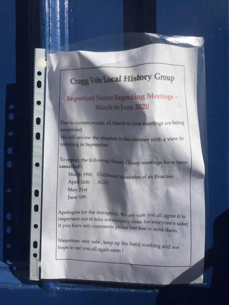
I decided on a whim to take a little detour down to the river where St John’s church and the Hinchcliffe Arms pub are located. The church has a rather odd name – St John’s in the Wilderness. I noticed a recent notice taped to the door about the current emergency, so St John’s isn’t so much in the wilderness as it would like to be.
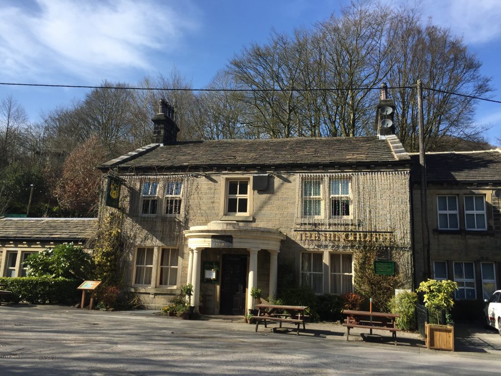
There are several documentary films about Saville, whom my mum believed she met on a cycling holiday when she was in the 20’s. Just across from the church is the Hinchcliffe Arms, obviously now closed but I used the picnic tables outside for a good place to have my picnic and consult my map. Apparently Saville used to park his camper van in the pub car park.
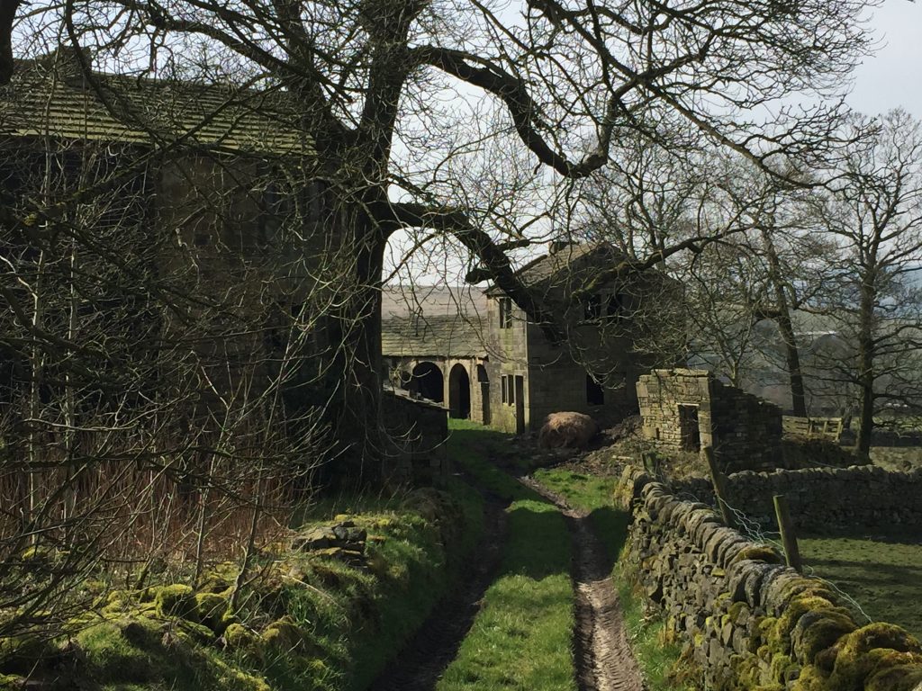
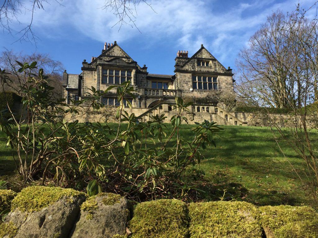
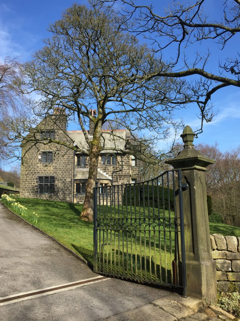
I decided to take a wander up a narrow lane and I soon found myself facing Cragg Hall, which I remembered visiting on a drive around the area a few months ago. Again, I was struck by the thought of what an area for me to live in where I can see these beautiful buildings and can walk back to my home.
Cragg Hall
The vicarage
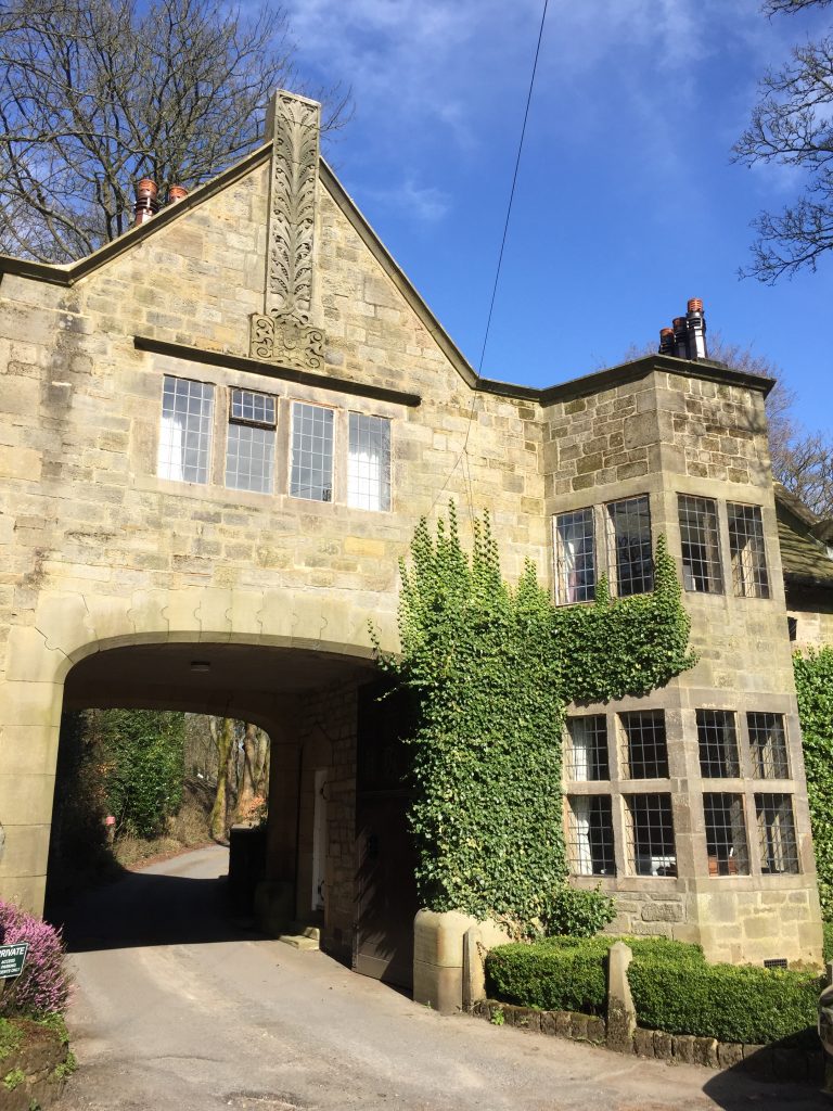
The gatehouse
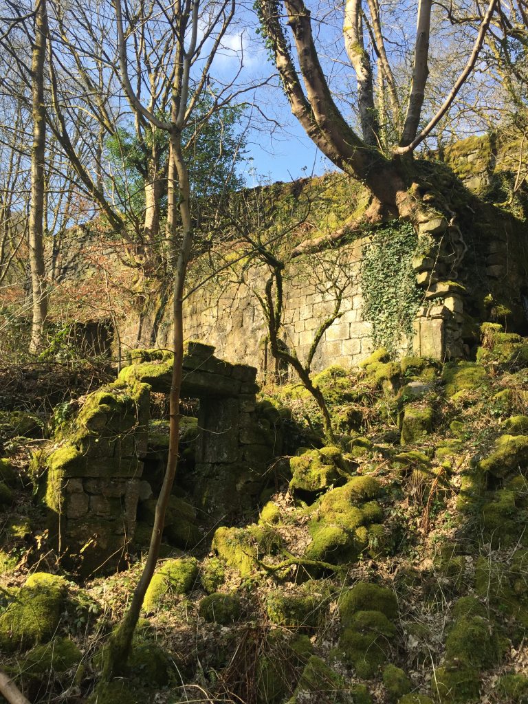
I’d passed the ruins of a mill on the main road and now, in the trees, I could see an old mill chimney. I’d never associated Cragg Vale with industry. I’d just though of it as an old handloom weaver’s community suspended in time.
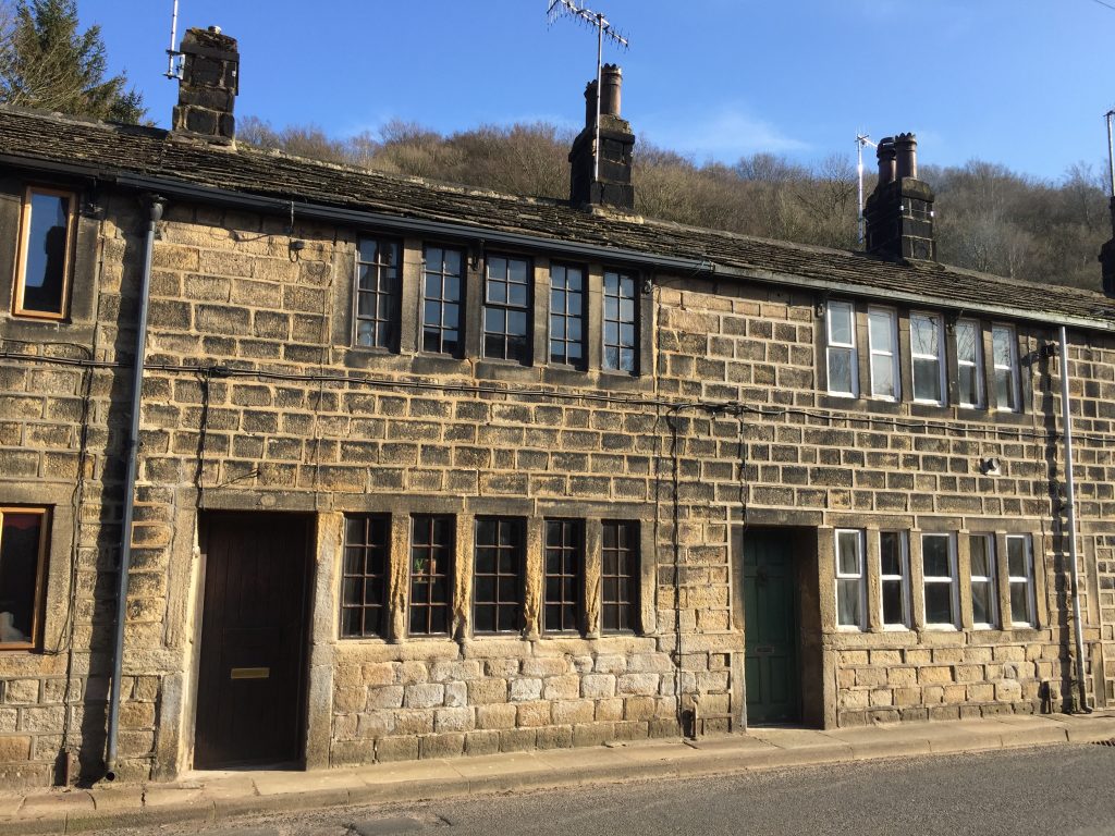
Handloom weavers’ cottages on the main road
I saw a sign pointing to the Coiners’ Barn, but it wasn’t an official sign and there was no indication of distance but I was enjoying myself so I followed the sign. Last year I’d read The Gallows Pole by Ben Myers, who lives in Hebden Bridge. It’s the story of the Cragg Vale coiners, a band of counterfeiters who produced fake gold coins in the late 18th century to supplement small incomes from weaving. It was a very very vivid book given to graphic violence in places but even more than the storyline I was fascinated by the historical references, especially about the new enclosure laws that were appearing around the same time. I immediately read all his other books!
The road I was following had been paved but obviously from the recent flooding there were a lot of dangerous potholes, even sink holes. I realised that this was the way Sarah and I had approached Stoodley Pike on our vacation here in 2017, wanting to find the shortest path up to the tower. Today the car park at the reservoir was packed and cars were parked along the lane but people were far and few between, there being so many paths and open ground.
Pasture
I find this building SO spooky
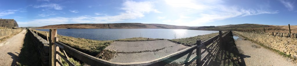
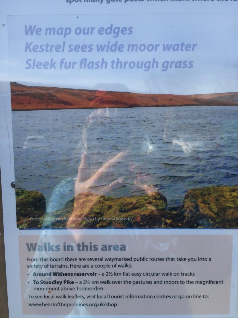
At the end of the dam is the imposing building of Pasture, the only farm building remaining of the 15 that once were scattered along Withins Clough. It looked inviting to walk around the reservoir. A sign showed that it’s only 2.5 Km around but:
This haiku was penned by Theresa Sowerby, the former head of English at Bolton School who I met in a creative writing group that goes to teach in a women’;s prison. She also introduced me at the Open Mic gathering at the Todmorden Literary Festival last year!
Photos of things I wouldn’t have noticed if I hadn’t been walking
Today’s prize for best hat!!!Well deserved refreshment 7.1 miles
So yesterday I explored Edge Lane, high above the Colden Valley. I’d circled a building on my OS a while ago. It didn’t have a name but last night I figured it out. On early maps the collection of building is named Spink House. On my current OD map it’s called Halstead Farm! I found a photo online and I remember passing that farm yesterday as I was talking with the ‘lady with hat.’ I’d also passed a building called Workhouse. At the time I’d thought it was an odd place for a workhouse, stuck in this tiny community of scattered farm dwellings. I’d also recalled from my earlier research that there was a chapel close by, at the time my ancestors lived at Spink House. So now the task is to piece it altogether. Recently someone commented that I live in the past. I see it more as detective work!
In 1881 Abraham Crabtree Sunderland was living at Spink House, Edge Lane. He was the paternal grandfather of the wife of my 3rd cousin 2x removed! He was born in Heptonstall in 1850 to John Sunderland and his wife Grace Crabtree. Until his marriage he lived on Smithwell Lane, Heptonstall. That’s the main street that I painted when I was 14! Abraham was a commercial clerk when he married at St John’s Halifax in 1875. By 1881 they had 3 children, John, James and Benjamin and the census specifies that Abraham was a commercial clerk in the cotton trade. 5 families were sharing the buildings, and several were related by marriage. The family were still at Spink House 10 years later and now there are 6 children, the youngest being Giles. In the 1891 census there are still 5 households named living in Spink House. In this census, however, the house is situated next to the chapel. By 1901 Abraham was a widower and the family had moved to Mytholm Lane, in the Calder valley on the outskirts of Hebden Bridge. Abraham is now an insurance agent. (Giles was later to die in Flanders in 1916) There are 3 former posts about Giles Sunderland in this blog.
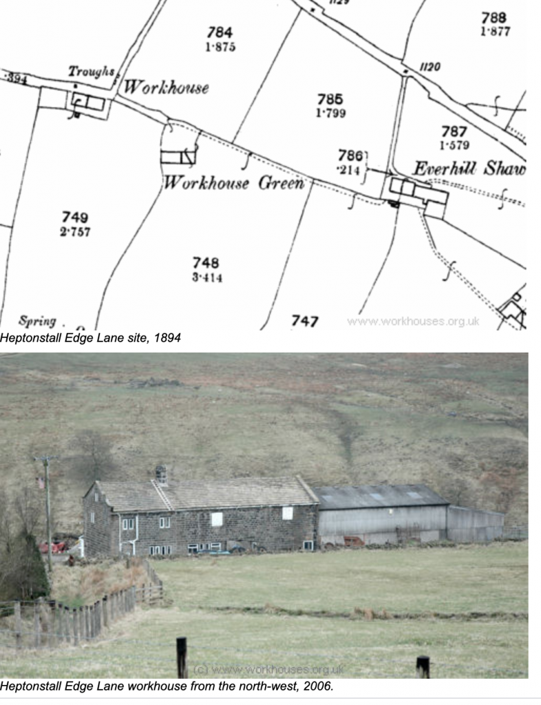
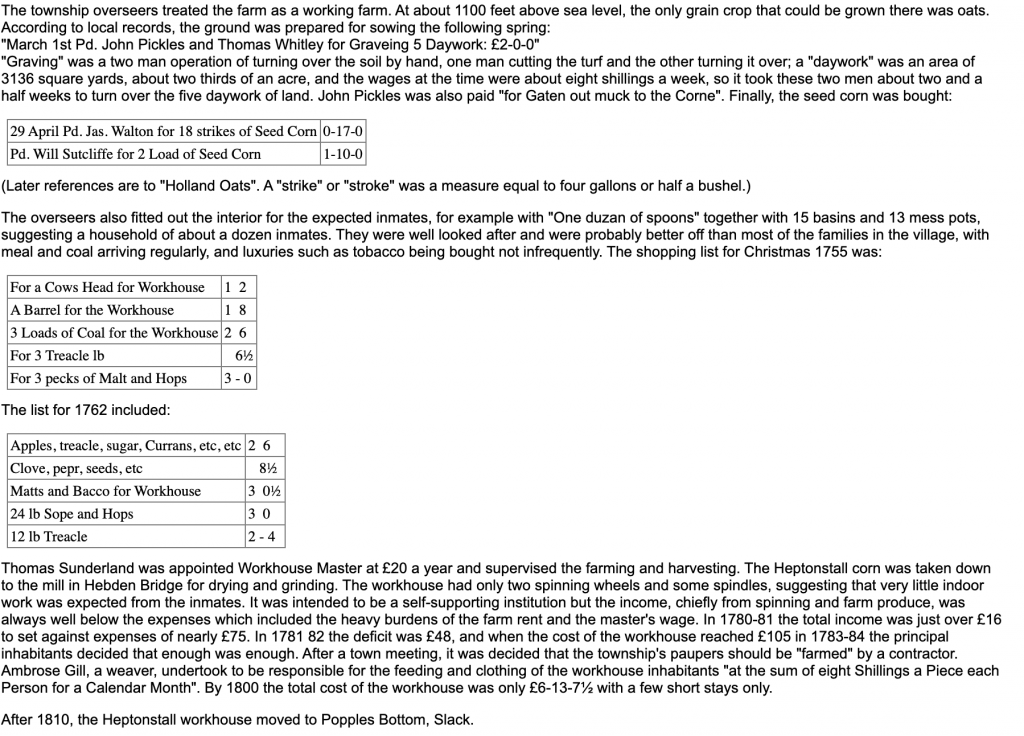
Now onto the unexpected ‘Workhouse’. With a bit of digging online I found out that yes, indeed, there was a workhouse here on Edge Lane. The Heptonstall workhouse opened in 1754. From workhouses.co.uk:
Sunderland is a common name in this area but what a coincidence: the overseer (no date given) was a Sunderland, just like my ancestor who lived on the same remote lane 100 years later.
Update: May 29, 2020
So today I set out to see Spink House and the workhouse for myself. The weather forecast said that it would get to 70F so I knew that unless I left first thing I wouldn’t go, so I caught the 9:10 bus up to Edge Lane. It was already warm and for the first time this summer I didn’t even carry a light jacket with me. So armed with sunglasses, sun hat, two bottle of water, an apple and a tangerine off I trotted up Edge Lane. Now this was my second time on this lane and since that first time I had explored New Lane which runs parallel to the river Colden from the New Delight and then climbs steeply to Scotland! From Edge Lane I could see that route clearly, and Stoodley Pike above.
On current maps Spink House is now called Halstead Green farm so it was with great delight that I saw a sign on the first house in the farm buildings saying Spink House. So this is the place where Abraham Crabtree Sunderland lived from at least 1881-1891 and where his six children were born. It was a delightful stone cottage with a colourful garden and as I turned off the road towards the house to take photos I hoped that someone would come out and I could explain my presence. It’s always a great thrill for me to chat with current residents, many of whom are keen to know something of their antecedents. At that moment a shepherd and his dog came along the lane and I asked “Do you live here?” ‘No I’m going going into the field to get my sheep.” We ended up chatting while his dog took a bath, in the old water-filled bath in the field. He has 300 sheep and his land extends to the common land on Heptonstall Moor above us. It must be a tough job in the winter up here, 1100ft above sea level. He asked me if I’d heard of Raistrick Greave farm – an impressive ruin. I hadn’t. “Look it up when you get home.” A week later a home movie had popped up on Youtube about Shibden Valley. A guy hikes with a selfie stick and visits some of the ruins. I enjoyed it – even though I felt a little sea sick by the end of it. I noticed that he has made another one called Heptonstall moor and I watched that too. I didn’t even knit which I watched it! Pretty rare for me. I soon found myself traveling along with ‘Nick’ up the Colden valley, to the new delight, and then onto New Lane which i just discovered a couple of weeks ago. he passes the old pack horse bridge that I was fascinated by, Lane Farm gardens with its mill chimney covered in ivy – and they he Heather Hops, as he calls it, to Raistrick Greave. It looked very difficult to get to, but very, very impressive – SO isolated! https://www.youtube.com/watch?v=EihAVFiXe04&t=10sh
He pointed me in the direction of the Workhouse and off I went, much further along Edge Lane. The Workhouse was set off the road on a cobbled track leading down the hill and again I hoped to find someone working for this was very obviously a working farm. As luck would have it the farmer was just getting down from the trailer and he was happy to chat with me for while. He’s lived there since the 1970’s and before he moved in the farm had been derelict for 30 years. He pointed out a stone on the gable end showing that the house and barn had been rebuilt by John Mitchell in 1828. This meant that the building was not the workhouse building because the workhouse had moved to Popples Common in 1810, but the vista that the people who lived in the workhouse would have looked out on must be completely unchanged and its name remains. He pointed out some of the farms, one of which he had owned and sold recently. Another mere shell of a former farm had provided the roof for the workhouse farm. I told him I’d been to Scotland (the name of a farm off New Lane) but I hadn’t yet made it to Egypt (a farm above Edge Lane). He told me there was Greenland too!
I hadn’t reread my previous post before I went there today and so wasn’t looking for the site of a former chapel, though now I see that there were two chapels here on the old map. That’ll wait for another day. It’s a beautiful area and I’m so glad I ‘discovered’ it.
Rather than retrace my steps along Edge Lane I wanted to explore a new path leading down to the river and just at that moment Edward the shepherd appeared in the adjacent field and he pointed out the path to me. It was signposted Jack Bridge – just where I wanted to get. Just over the bridge, hidden by trees was a large stone house with a beautiful garden and as I stopped to take a photo I suddenly noticed a mill chimney completely covered in ivy and almost hidden by trees. I’d not expected to find a mill here, though much further down stream there are several mills, now derelict. Update: April 2021. Read about Land Mill:
There are connections to this remote with Samuel Crompton of Hall i’th’ wood, Bolton, and William Barker of Wood Top and Mayroyd Mills – Scotland in the Colden Valley. After a couple of signposts the path divided and of course, there was no sign post now. I took the ‘one less travelled by’ – shaded and level and a couple of stiles later I found myself in a field of buttercups and lambs where the path was barely discernible. I headed for another stile and sat down to eat my picnic. The view was amazing. I could see across the valley to Edge Lane and all the way down to Heptonstall’s church tower. A voice brought me out of my reverie, “I’m coming over the stile.” I moved to the side to let a woman and her dog negotiate the stile. “Heather?” I looked at her. It was none other than Jenny, a director from the Little Theatre and a member of the Little Theatre choir that I accompany. I knew she lived in this area but was amazed to see her at this lovely spot in the middle of sheep and buttercups. We both sat down on the grass and chatted while I finished my picnic. Very lovely.
Find an area I’ve been wanting to explore for a while
I’ve been marking on my OS all the hikes I’ve taken over the last 2 years – in pink
Mark all the hikes I take in this moment of global crisis – in purple
Take photos of quirky things
Cv look-alikes in nature
Look who was waiting to welcome me to Edge Lane
Somewhere in my ancestry research I had seen mentioned Edge Lane, Colden. In fact on my OS I have ringed some buildings on Edge Lane in pencil. And whenever I’ve taken the bus to Blackshaw Head I’ve passed Edge Lane and thought ‘I should get off the bus here sometime and explore.’ So today was the day. But with over 9000 people in my family tree now I simply can’t remember the connection with Edge Lane, though I seem to recall it was a school or chapel.
I got off the bus, at Edge Lane intending to walk up for a half a mile or so, then return back to the main road and walk down Hudson Mill Road back down to Hebden. This was my first time on an Access bus, smaller than the usual zippy bus, and a reflection of the lack of customers.
New Edge Barn
Edge Lane follows a contour line and so there’s little up and down hill which made it easy to walk. Though the paved section finished quite early it remained a real bridleway, clearly marked and mostly between well maintained walls. On both sides occasional farms were scattered but these were greatly outnumbered by fields of sheep. Several farmers were using the good weather day to repair fences, rebuild walls and some were on quad bikes, delivering food to the sheep.
For a mile or so four people on horses were a little way in front of me which gave me confidence to continue straight ahead. I did meet a couple of hikers and I chatted to check my route. At one time a couple of bicycles were slowed down by the horses in front.
Traffic jam on Edge Lane
Again, like yesterday I found that people were far more friendly than usual. It’s not uncommon for me to walk along the canal and pass 20 or so people who don’t even smile or say hello. I wonder if it’s the fact that everyone is currently having to adjust to the new restrictions – ‘we’re all in this together’ kind of attitude.
The Pack Horse Inn, Widdop – and a fire
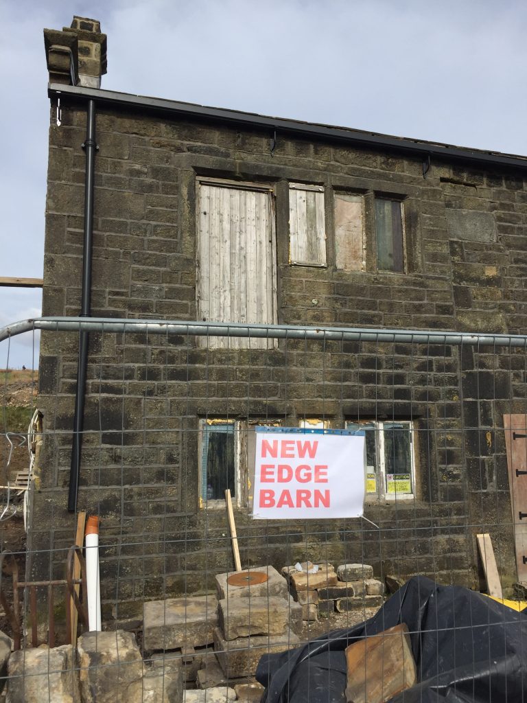
I saw a couple of footpath signs pointing to Gorple reservoir and asked a couple of walkers if the track ahead was well trodden and easy to find. I was assured that it was, so I kept on going. I wasn’t going to go off on any barely visible paths but I’d stick to a clearly marked one. At one point I passed a ruined farm that’s undergoing major restoration. It’s name New Edge Farm made me smile. If that was new Edge farm I wondered what Old edge farm must look like!
Gorple reservoir
Suddenly i crested the ridge and there before me was not one reservoir but 4, Gorple being the closest. In all directions I could only see one building and after consulting my map I realised that the building was the Pack Horse, Widdop. Of course, like all the pubs in England now it is closed. Voted the most scenic pub in Britain for 2004, this converted and whitewashed 17th century laithe farmhouse is known locally as ‘The Ridge’. Set in a beautiful and remote location close to the Pennine Way, it stands at a height of 298 metres above sea level, affording spectacular moorland views. I’d been there twice before in sept 2018 when I was researching Willie Wrigley, my colourful second cousin three times removed! I wrote a blog about him: http://blog.hmcreativelady.com/wp-admin/post.php?post=7462&action=edit
On the night of the census, March 31, 1901 Willie, an architect, spent the night in this remote inn. I was beyond surprised to see this in from this vantage point. I sat down for a few minutes to consult my map and during that time I saw smoke beginning to appear from the moorland above the inn. There was no point heading over to the inn since it was closed but this would make a great walk when things get back to normal.
Panoramic of my view with Gorple reservoir
As I retraced my steps back along Edge Lane to Jack Bridge I took photos of ‘cv’ reminders in nature. I even met a lady with a crazy hat that reminded me of cv cells! I followed the main road to The New Delight, also closed, and headed off down Hudson Mill Road. I’ve hiked this road maybe 6 times during the last two years. It takes about an hour to get home from there.
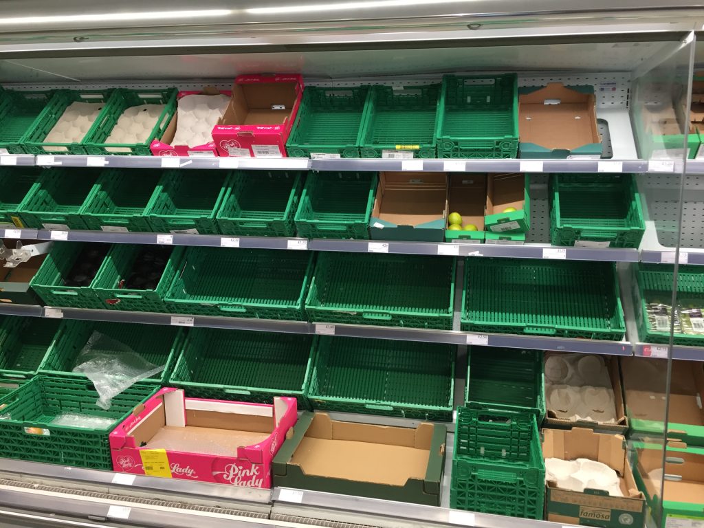
I joined the canal back in Hebden and popped into the Coop to buy some more fresh food. although some shelves were empty I was still able to buy fresh fruit and veg. When I turned on the telly later there were accounts of people waiting in queues of up to 50 people to get into supermarkets.
I was the only person on the platform at Hebden Bridge station, something I don’t ever remember seeing before. The train to Leeds was virtually empty with only 2 other people in my compartment. It’s only an 8 minute ride to Sowerby Bridge and again the weather was bright and sunny. My initial idea was to walk from Brighouse to Sowerby but that felt a little too far this morning so I changed it to a 7 miler.
Fun along the towpath
Christ church Sowerby bridge where many of my ancestors were married and baptised. I’ve played the organ there too
An interesting chapel on the canal side where the organ was originally water powered. Bolton Brow Wesleyan Methodist Chapel
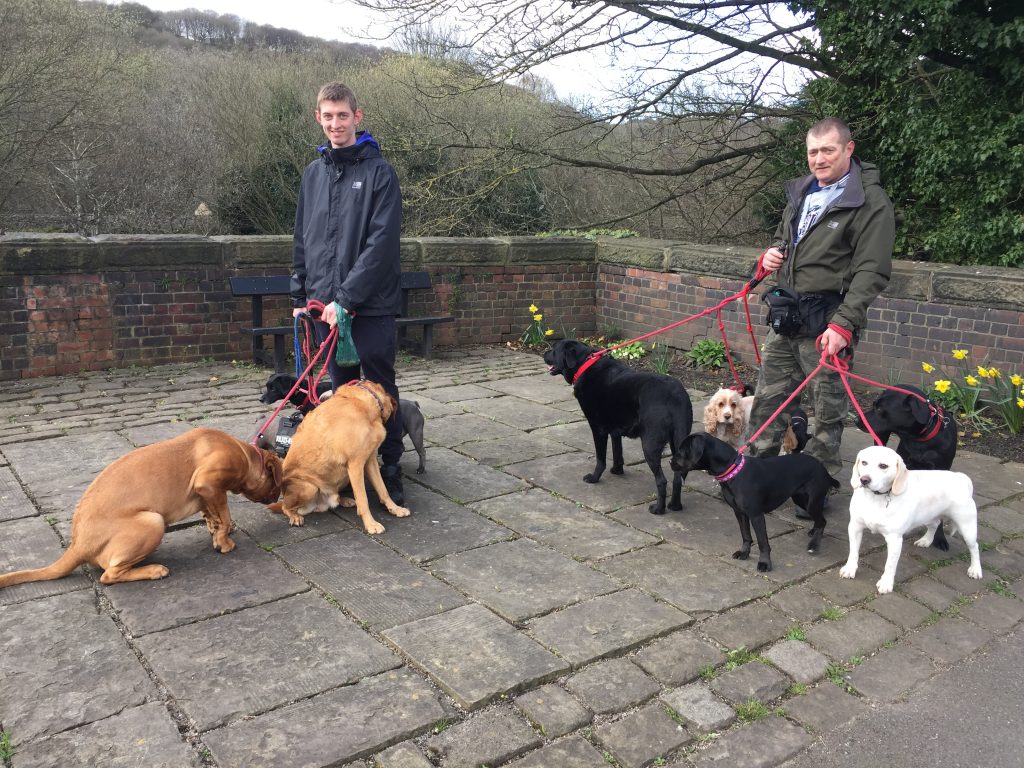
I was amazed how many people were walking along the towpath. I’ve never seen so many, mostly with their dogs. In particular there were many men. These two, who were running a dog walking service were happy to pose for a photo.
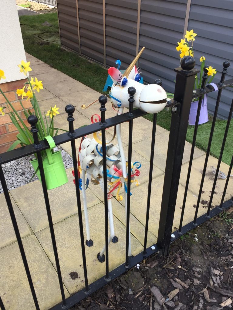
I love finding quirky things on my walks. They always bring a smile to my face
The old
The new
Nice to see that Christmas decorations are still going strong on these canalside houses
A rare site on the Rochdale Canal
Thought this looked a bit eerie – skull-like?What are these in the trees? Two ladies walking their dogs thought they might by mistletoe. Any ideas?
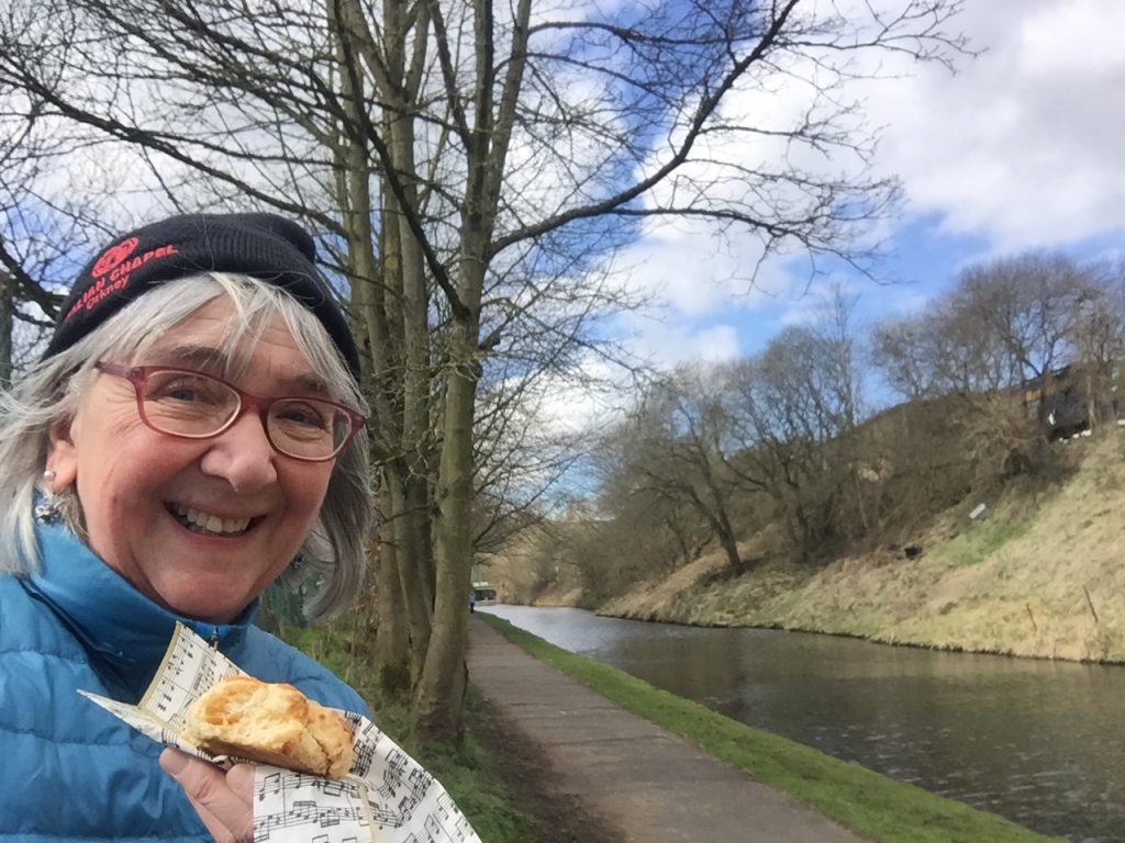
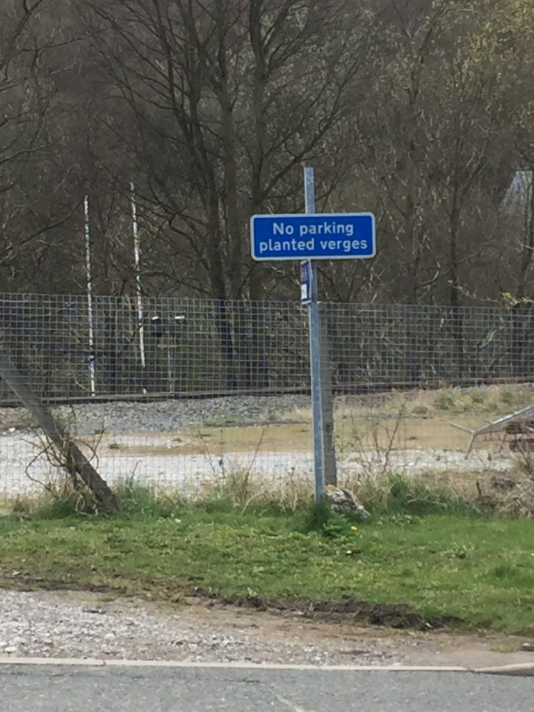
I rest in a quiet spot to eat my home-made cheese sconeI don’t know how to park a planted verge!!!
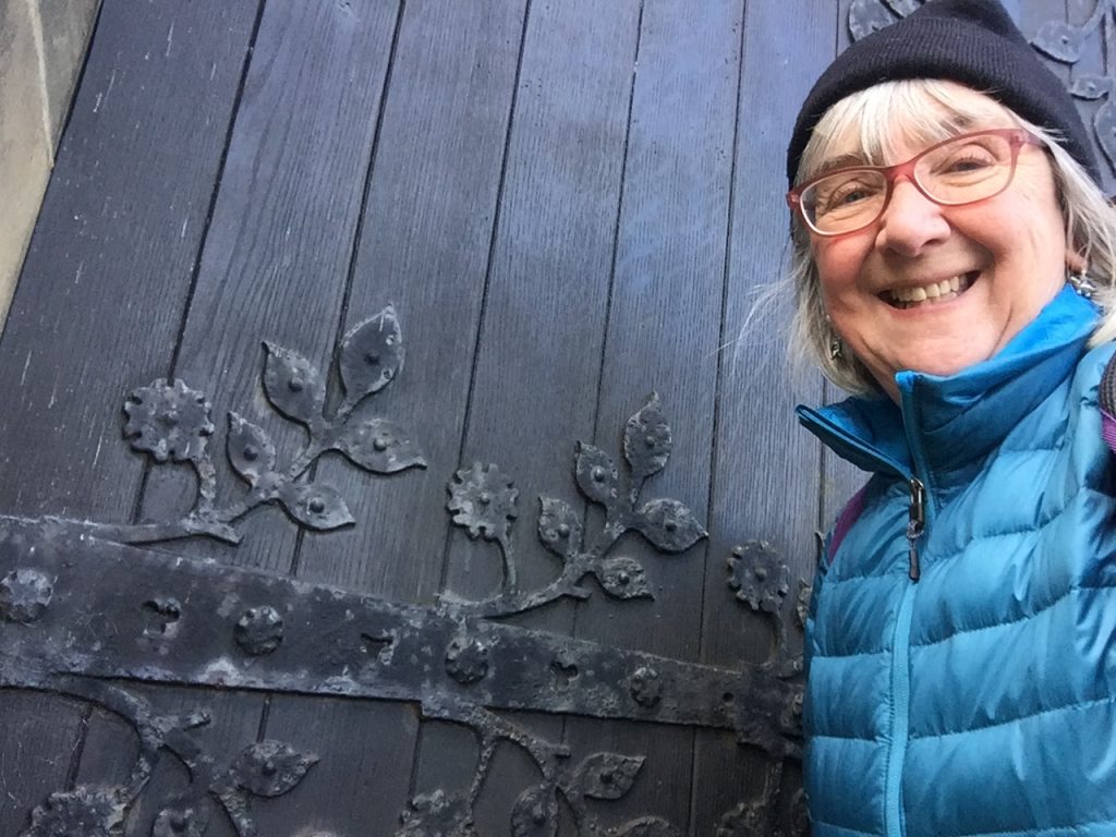
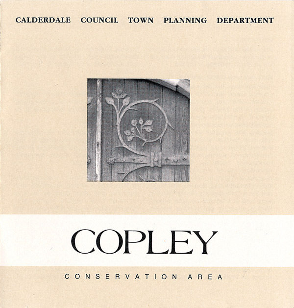
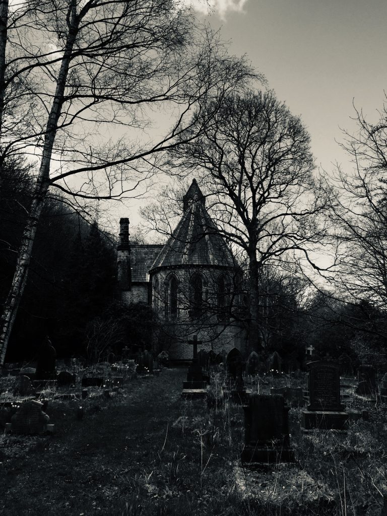
The canal passes close to the village of Copley and I decided to go and take another look. I think I’ve been there 3 times before. the last time was in May last year and I took a photo of the church door which I then used as inspiration for a textile project. It wasn’t until I was doing some online research for this post that I discovered that the Copley Conservation area use the very same photo for their cover photo.
Copley was a built as a model village by Colonel Edward Ackroyd in the Calder Valley to the south of Halifax. He also built Ackroyden where All Souls church is. He bought a disused mill on the banks of the River Calder in 1844, demolished it and built a larger mill that was completed in 1847. To house his workforce Akroyd built a “model industrial settlement” of 112 back-to-back houses in three terraces with shops at the end. The first houses, described by Pevsner, as built in a “picturesque Pennine Vernacular” style were completed in 1849. They have two bedrooms and had “privies” in the front gardens. Rents proved to be high and the next two terraces were built more cheaply. Another row of through houses, one room deep, was built in 1865 after the back-to-backs were criticised in an article in The Builder.[
To attract and retain a workforce outside the urban area of Halifax, Akroyd provided not only houses but built a school, library and reading room, a co-operative store, the parish church, a recreation ground and cricket club and promoted the savings bank, burial and clothing clubs, allotment gardens and the horticultural and floral society.[ The school was built in 1849 and a year later a library. Akroyd also paid for much of the cost of St Stephen’s Church which was built between 1861 and 1865 on the opposite side of the river to the designs of W. H. Crossland. Copley predated Saltaire which Titus Salt built for his workers. The architect was Crossland, a pupil of George Gilbert Scott.
Copley church
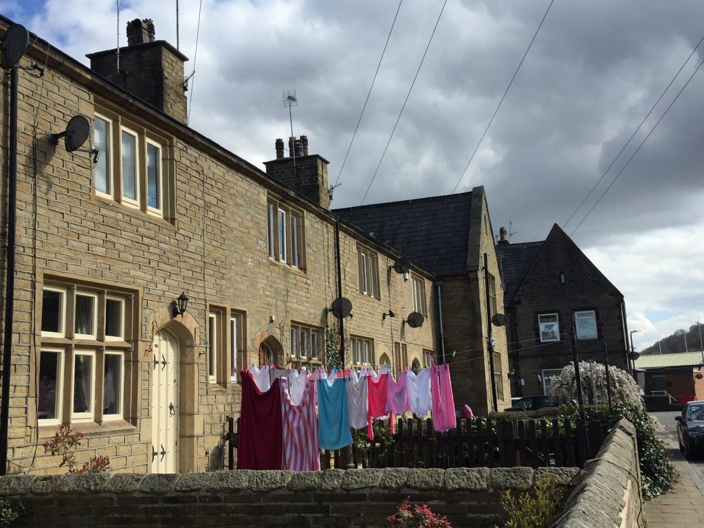
In the churchyardHouses originally built for the mill workers of Copley
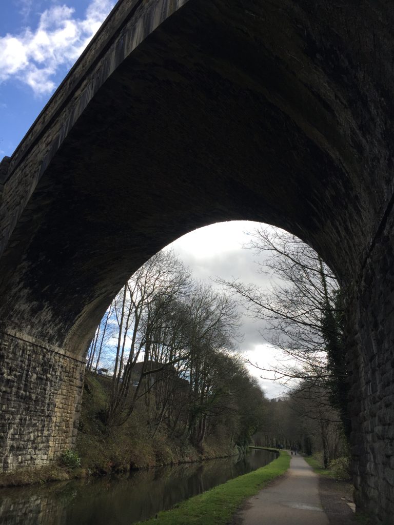
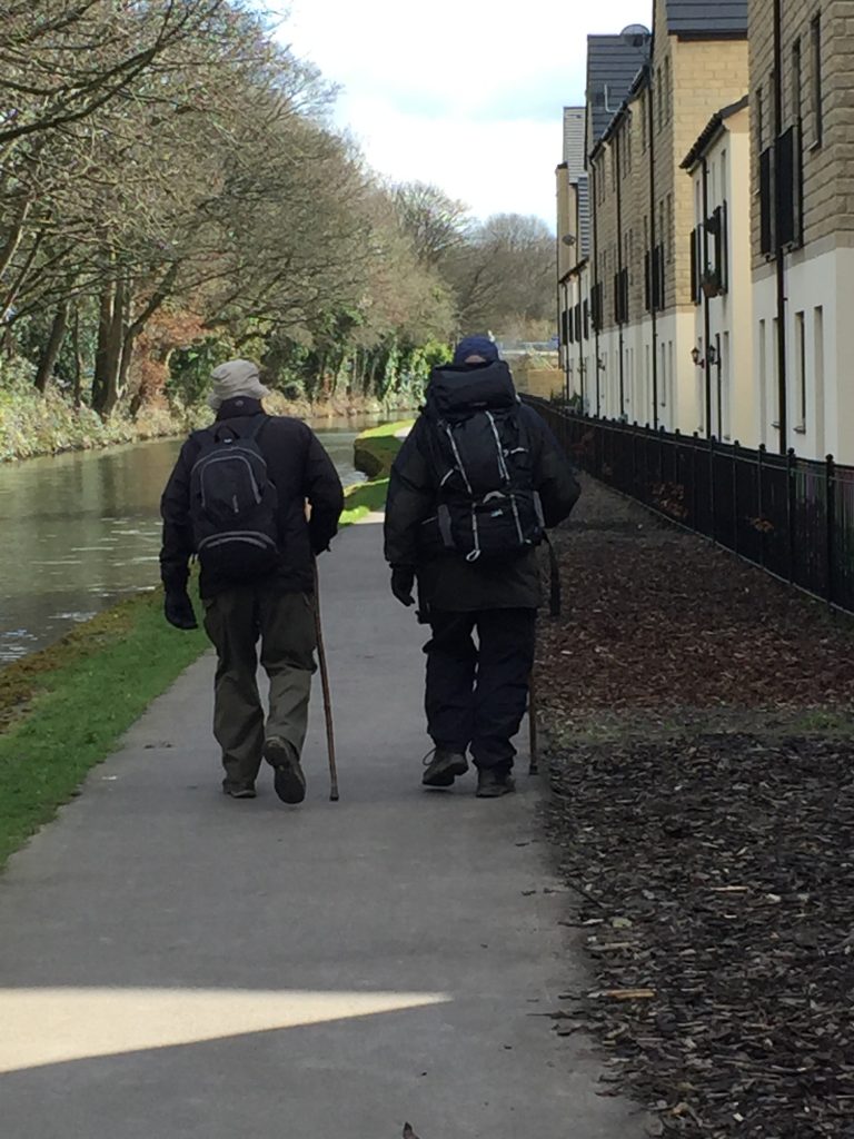
I headed back under the immense Copley viaduct which carries the railway line to Brighouse and beyond. These two gentlemen walking along the towpath looked equipped for climbing the high peaks of England
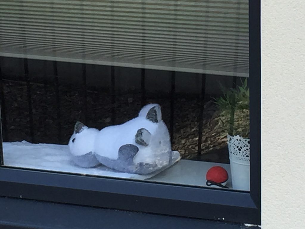
Continuing my photos of corona virus related items:
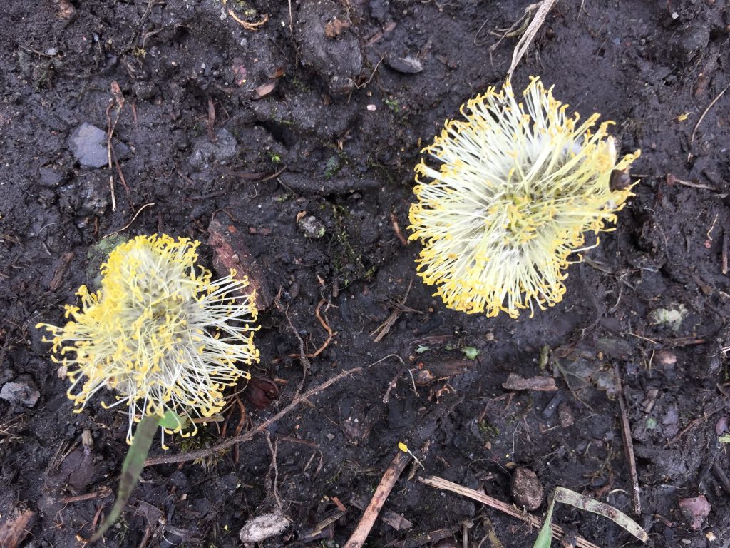
This poor penguin has obviously succumbed alreadyNature’s coronas
Perhaps we should all jump aboard and be savedBut these poor flowers have already given up
I ended my journey at Sowerby Bridge railway station which, besides being where Branwell Bronte worked, sports the (now closed) Jubilee Tea Rooms which has the distinction of being the only pub I’ve ever been thrown out of! I haver a fridge magnet to commemorate the occasion.


Recent Comments