Since my first walk along Edge Lane Colden I’ve gone back several times to walk its length. My Sunderland ancestors lived at Spink House on Edge Lane. It’s quite a long way. You end up in Egypt – no kiddin’. On the other side of the Colden valley there’s Scotland and Greenland too. But for several months I’ve been wanting to explore the other side of the valley. I could pick out a couple of VERY isolated farms, perhaps only skeletal ruins remaining, or perhaps they are still occupied by hardy sheep farmers. I’d been putting off exploring the north side of the valley not just because of the inclement weather but because you never know in what condition the paths are just by looking at the map. Yes, I can find out if they hug the contour or rise steeply but they are many many tracks on this moorland and it’s easy to get lost, or find that the path just disappears into farm land. But for the past week I’ve been out walking 2-3 hours and so I decided today was going to be THE day to explore.
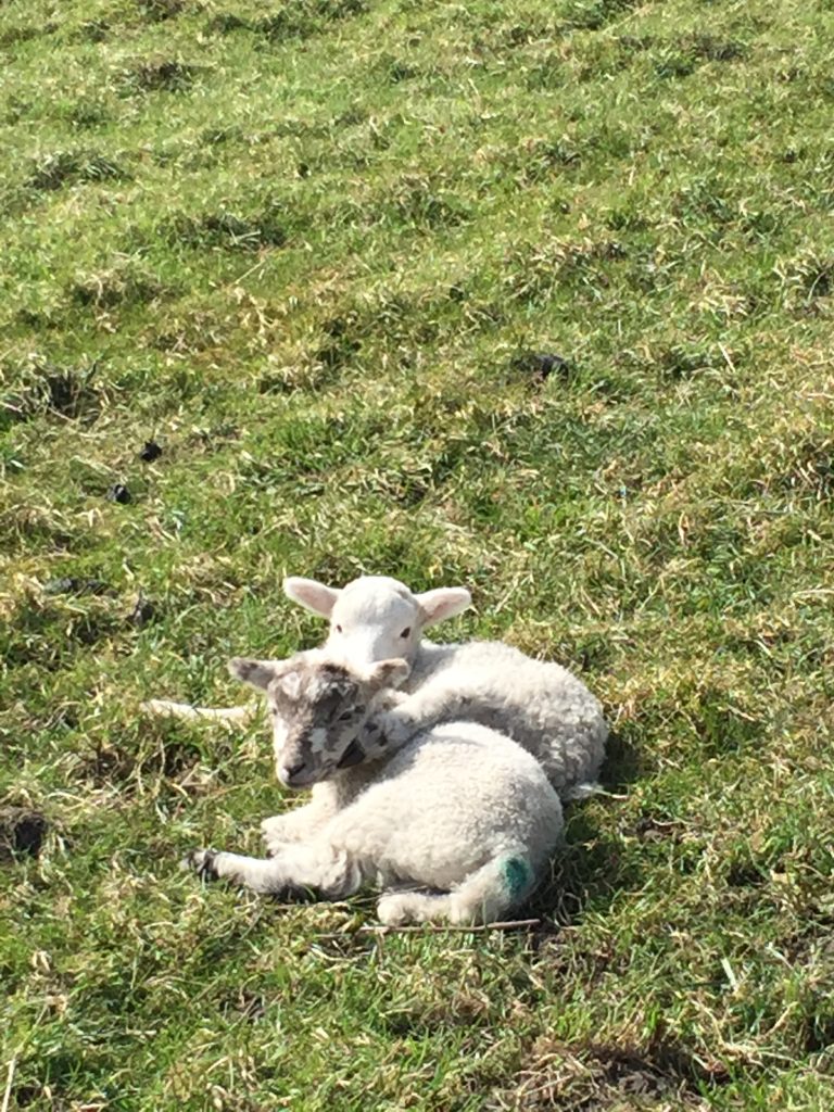
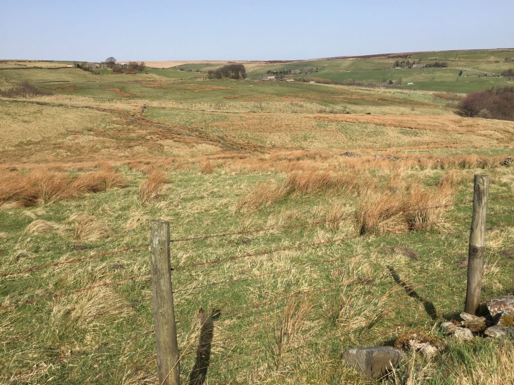
When I got off the bus at Blackshawhead terminus I was surprised by the weather. It was warm. I was not getting blown over by a gale force wind. Most unusual for this exposed hilltop. It turned out that it had been the warmest March day in 1968! I followed the Long Causeway out of the village and made my first turn onto a track marked with a public footpath sign. A few minutes later I came to a five barred gate with a ‘Due to Coronavirus this footpath is now closed.’ Hmmm. not an auspicious beginning to my hike. Luckily a farmer was tending to a tractor. ‘Yer allreet, lass. Cum on through.’ And that was that. I was on my way. ‘Most people tek t’other path farther up t’ road. Got left at t’ next gate and yull be reet.’ I thanked him for his help and did just that. When I turned left at the next gate my map told me that I was on Higher Back Lane. It parallels the Long Causeway, and is just a few feet higher. I really felt as if I was on top of the world. To my right I could see right along the Colden valley. I could pick out Edge Lane clearly. Sheep with their new lambs crossed my path constantly. Much of the moorland glowed an orangey brown – a colour more connected with autumn than spring. It stemmed from the rushes signifying the boggy sections of moorland – places to keep away from at this time of the year – still.
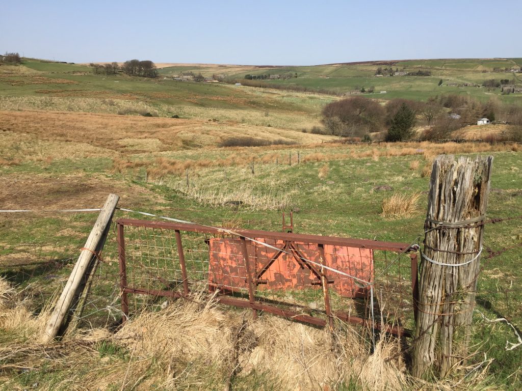
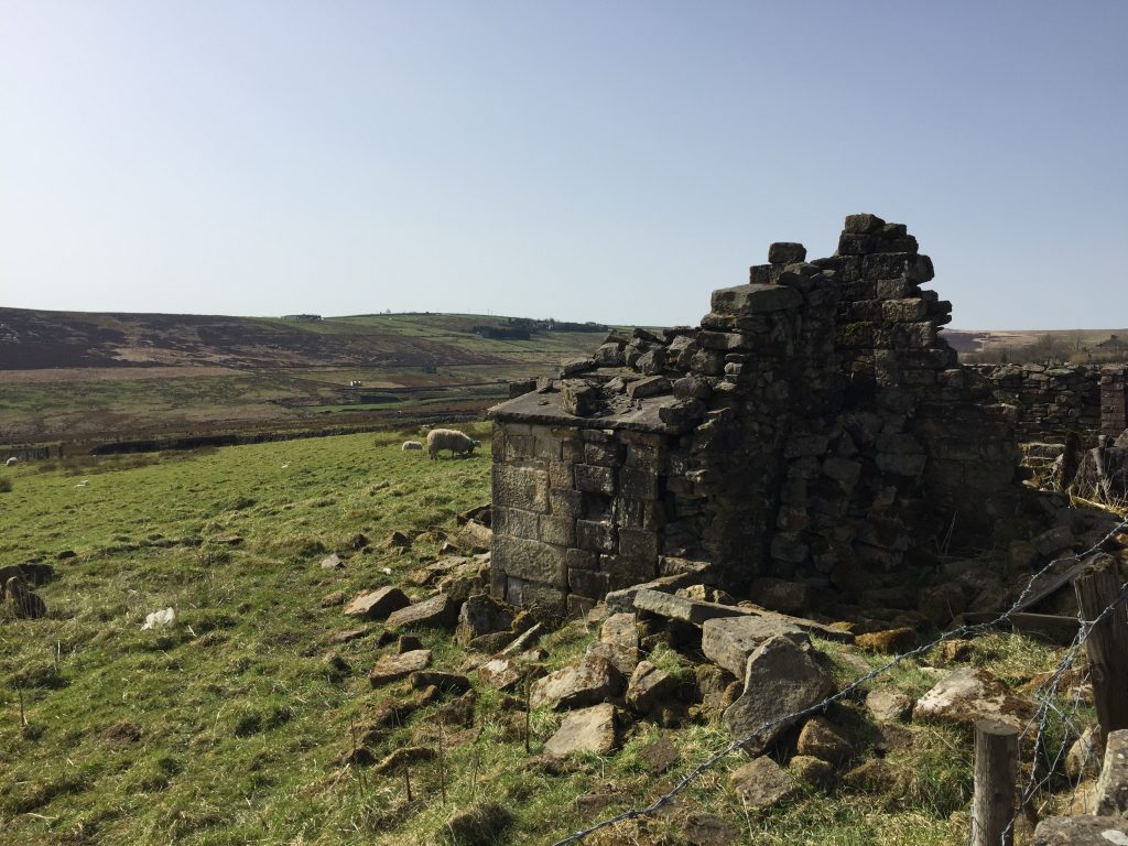
I took a path heading off at right angles to my path and it led steeply down between two walls, barely passable because of the water running down its length. I could see that it was heading for a building and soon I found myself at Strines Clough.
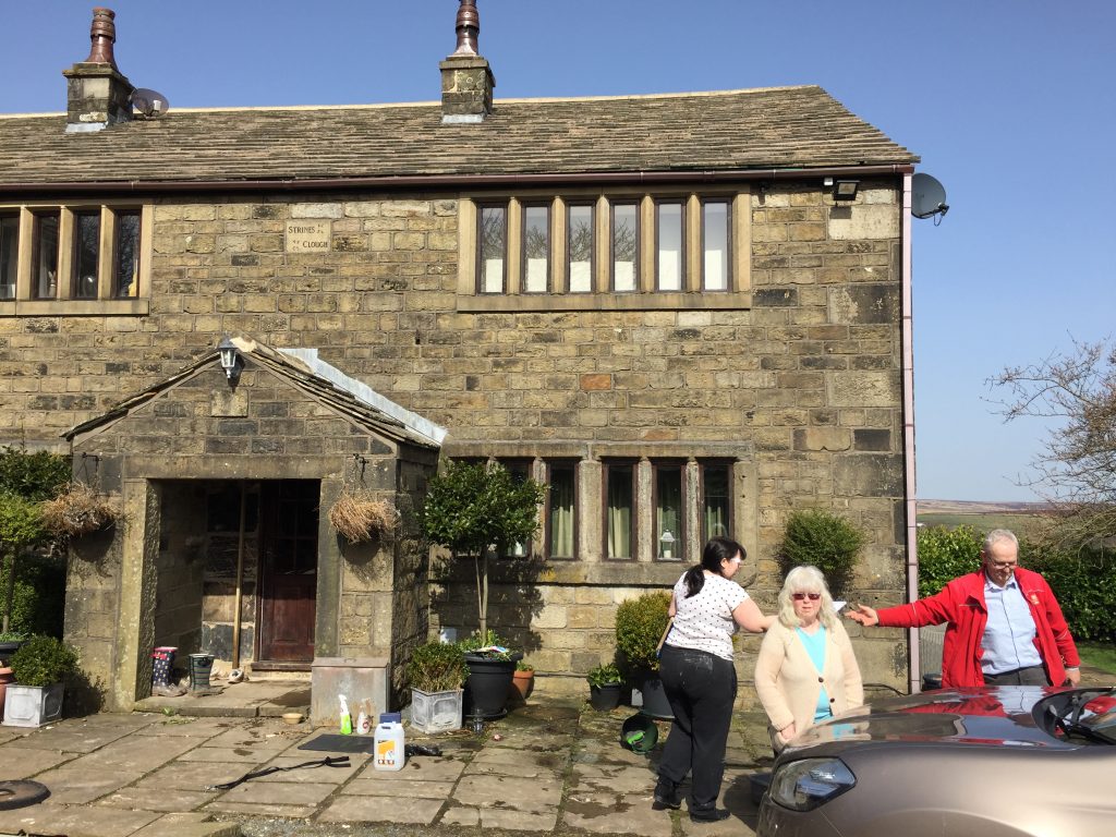
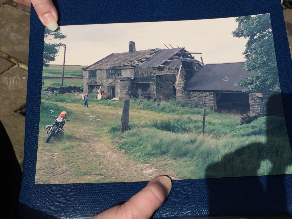
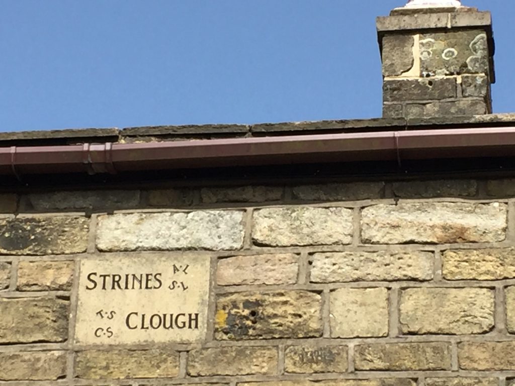
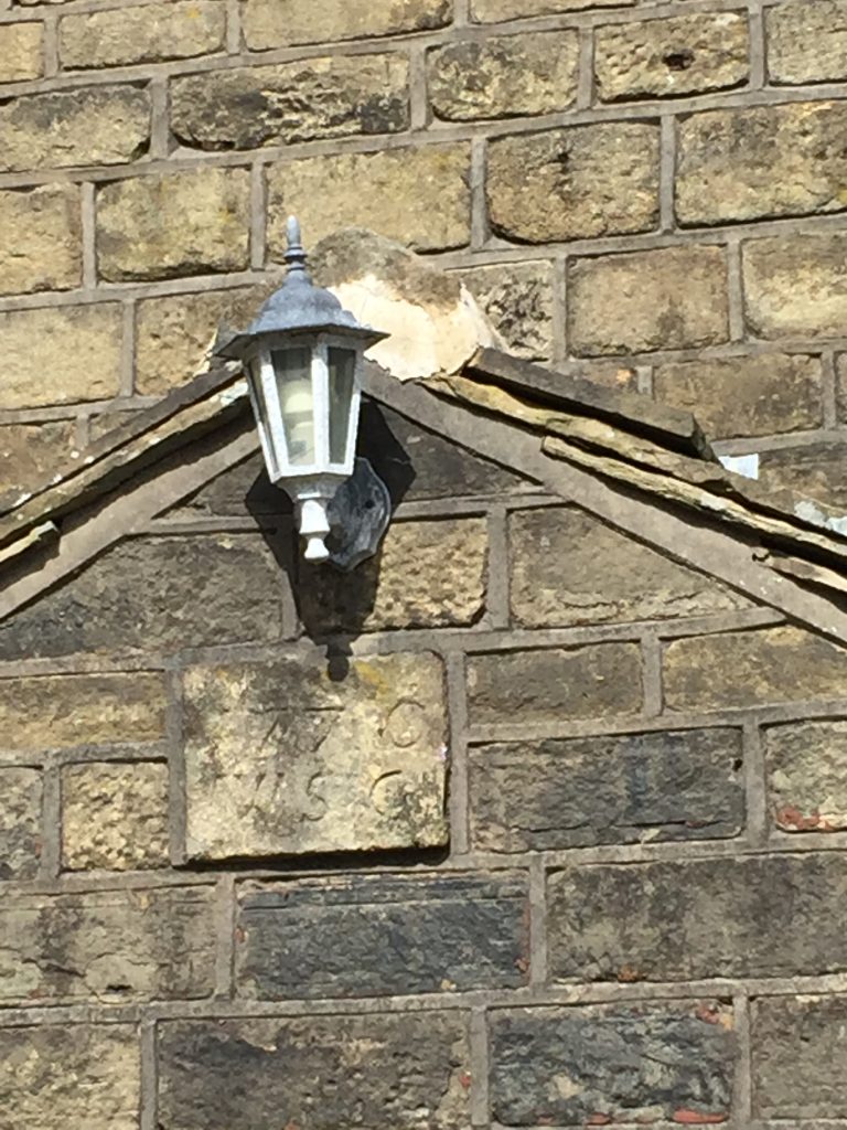
My luck was in and a couple were doing some serious renovations to their front yards. We were chatting when the lady’s grandma joined us just as the postman arrived in his little red van, bringing back memories for me of the way our post was delivered at Third Bungalow by the time I was at Bolton School. Previously the postman had hiked down to us through three fields. In fact, I mentioned to the people that this place’s isolation but with its spectacular hill top moorland scenery reminded me of Affetside. I saw a date stone and asked them if they knew anything about the history of the building, since it didn’t look particularly old. The present residents only moved there last July and a neighbour had lent them a book of photographs of the building. She went inside and soon came back with the book. Until 1984 when the previous owners rebuilt it the house had been completely derelict. They asked if I’d share with them anything I could find about the history of the house or any of its previous residents. (A nice job for a rainy day, methinks.)
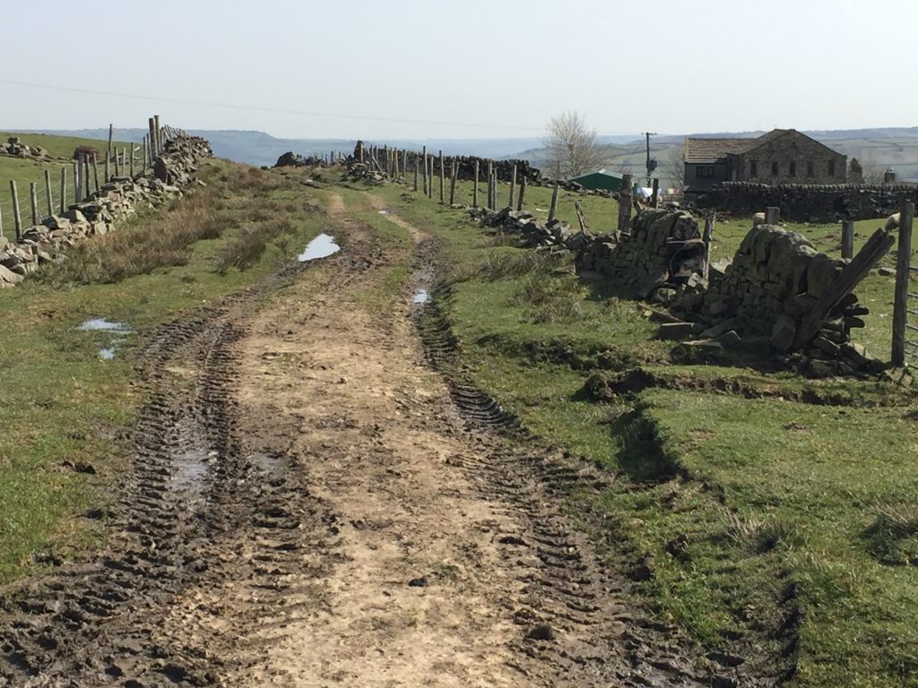
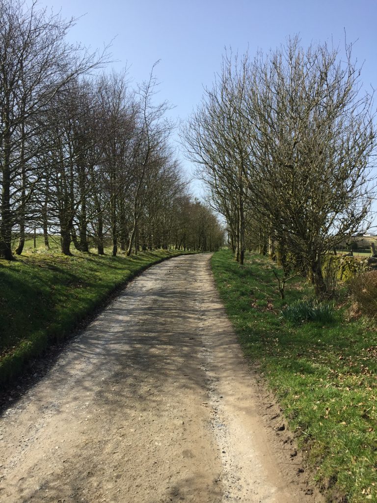
I took my leave and headed down the Brown Hill track towards Jack Bridge. The track was bordered on either side by trees and looking back I would have thought it was the track to my childhood home now bordered by large trees that my dad planted when they were less than one foot tall.
It wasn’t until that moment that I connected my comment about the brown vegetation on the hillside with the name of the track. I passed another farm appropriately called Brown Bottom farm.
The building itself was barely visible form piles of ‘stuff’ piled up outside – which was there when Google maps did their mapping. two abandoned cars graced the field.
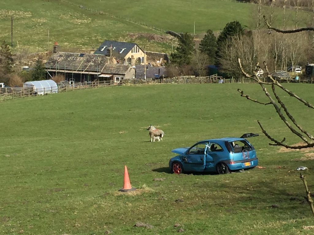
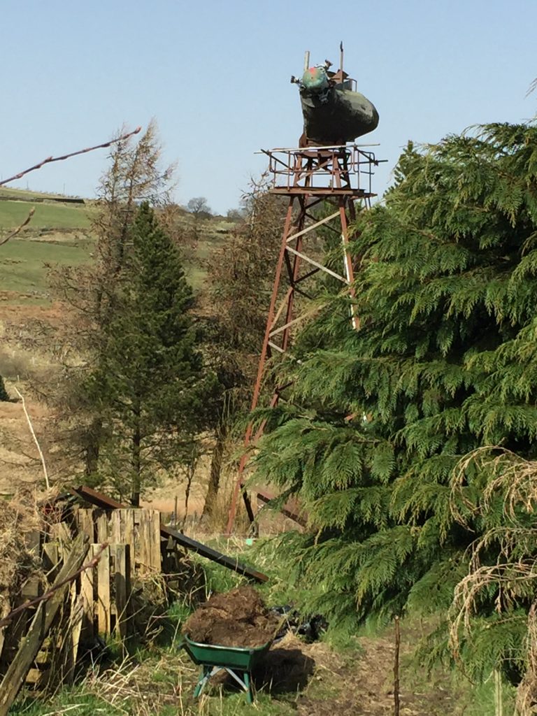
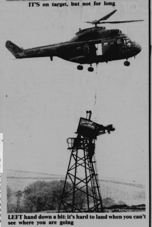
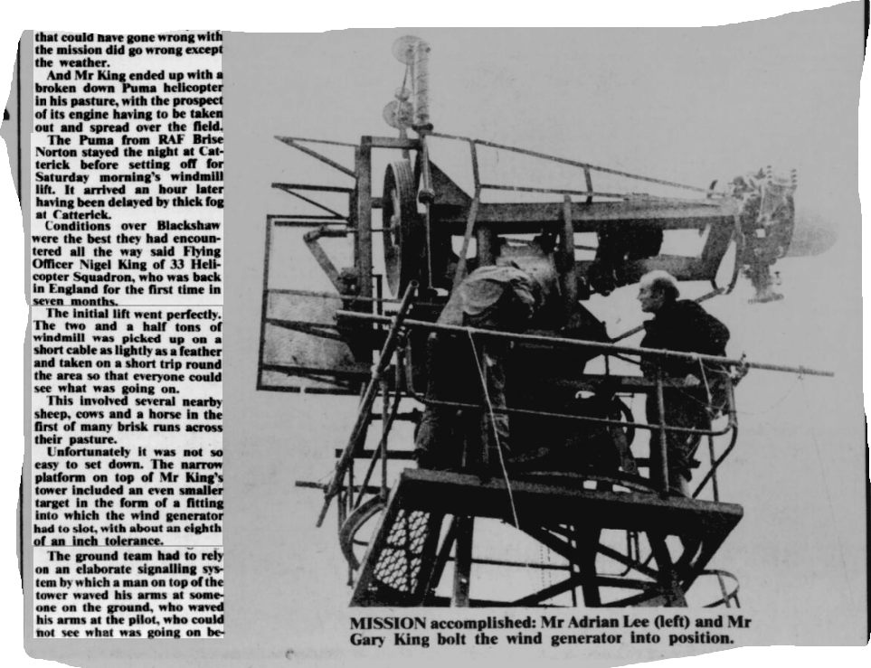
But what particularly took my attention was a very tall contraption- at least two storeys tall – it reminded me of the fighting machines from War of the Worlds. I have no idea what it was. At first I thought it was perhaps a wind pump. Again, memories of Third Bungalow when the dwelling next to ours had had a wind pump to bring up water from a deep well. Perhaps it was an art installation. I’d love to know!
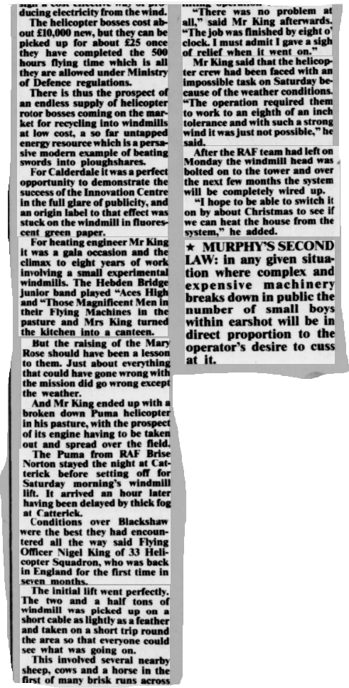
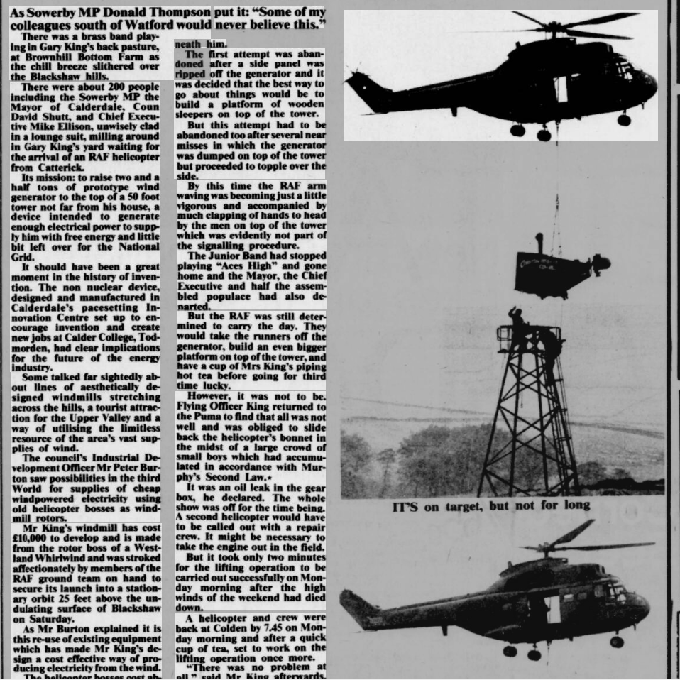
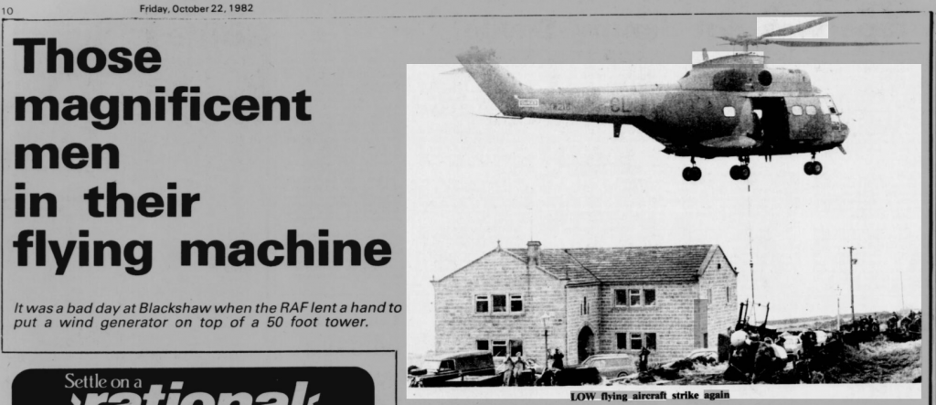
Update: 3 years later, almost to the day, someone contacted me having seen this blog – and the next day an article from the paper was sent to me explaining what this contraption is. Accompanied by the dulcet sounds of the Junior Brass band and watched by around 200 people an RAF helicopter erected a prototype wind turbine atop a 50 ft tower at Brownhill Farm. All did not go according to plan shall we say? This was in 1982 and the hills above Calderdale are now garnished with wind turbines and a new project to erect another set is underway, being highly disputed by local people. ‘ The development would consist of 65 turbines up to 200 metres tall (42 metres taller than the Blackpool Tower) covering more than 9 square miles of SSSI moorland and towering over the National Trust estate of Hardcastle Crags, Crimsworth Dean & Brontë Country.’ (from the Stop Calderdale Wind Farm site.)
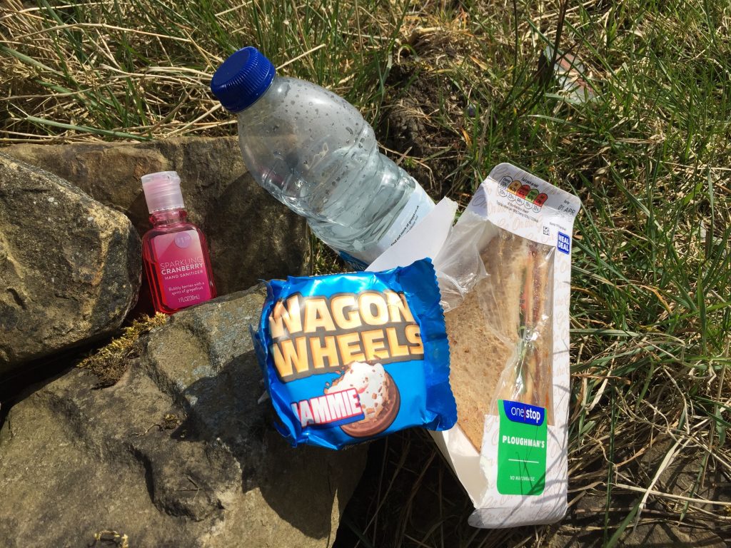
The track led to the very sharp curve on the main road and here i stopped to have my first picnic of the year. It was also the first time I’ve worn my cap with sun visor this year, ditching my Everest beanie (from Rachel) which has been in daily use all year. I sat on the grass, watching over by a horse with the sound of bleating lambs as my sound track.
Cranberry hand santiser courtesy of Anna! 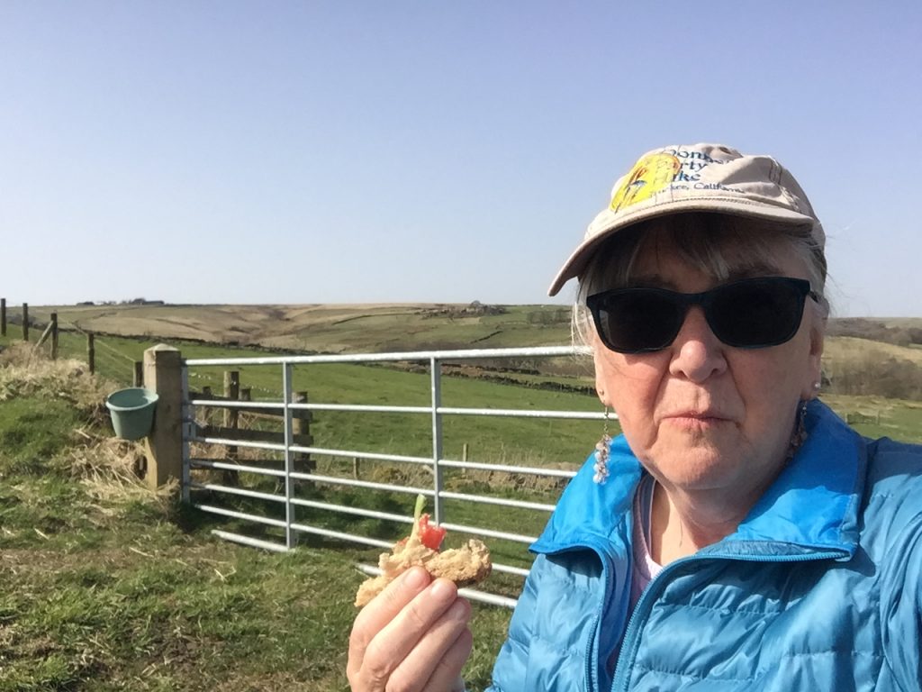
Donner Party Hike cap
From Jack Bridge I followed Hudson Mill Road down to Hebden, a frequent hike in all seasons.
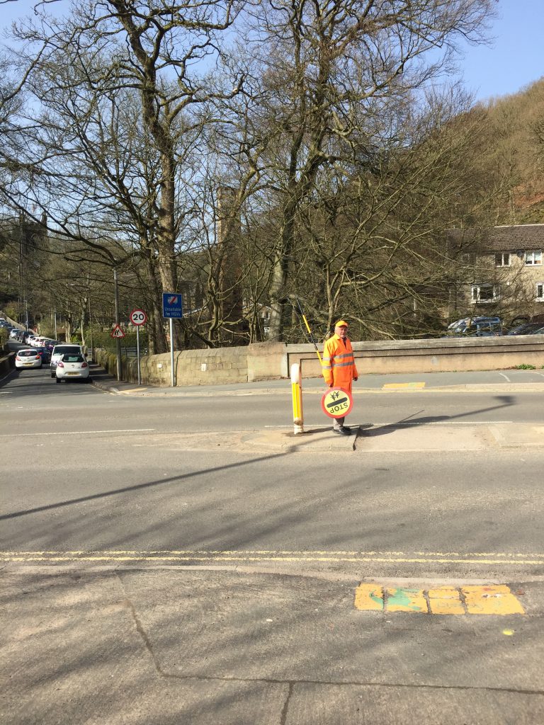
As I reached the school by the church it was ‘home time’ for the students and so I had the benefit of the lollypop man to aid me across the road from where I followed the canal tow path, crossing the spot where Colden Water, which I’d followed all through the hike, meets the River Calder.
Hello Creative Lady.
As a former Blackshaw Head lad (1960s and 70s) I really enjoyed your story and await the next instalment.
Kind regards
M
Hello, I keep finding my way back to your fantastic blog 🙂
Did you ever find out what the contraption is a Brown Hill Bottom Farm?
It’s actually a wind generator that was installed in 1982 … with a great deal of help from an RAF helicopter. I have a newspaper article about it … with photos