On the last day of March 2021 I had made my first exploration of the hillside between Blackshaw head and the Upper Colden valley and a week later I had the opportunity to revisit the area – with a friend – with a car. I wasn’t sure of the terrain and whether the paths would be clearly visible or whether a footpath sign would point randomly to an open field and there’d be no sign of a path. This was the area I’d been looking at from my various trips to Edge Lane on the other side of the Colden Valley so we set off following a cart track called Moorcock Lane,from the Long Causeway.
Almost immediately we had to reverse a considerable distance to let two cars pass on the single track path. At Moorcock farm the track became significantly less passable for a car and I noticed that there was a postbox at the side of the track, presumable for a farm further along that even the postman didn’t venture to drive to.
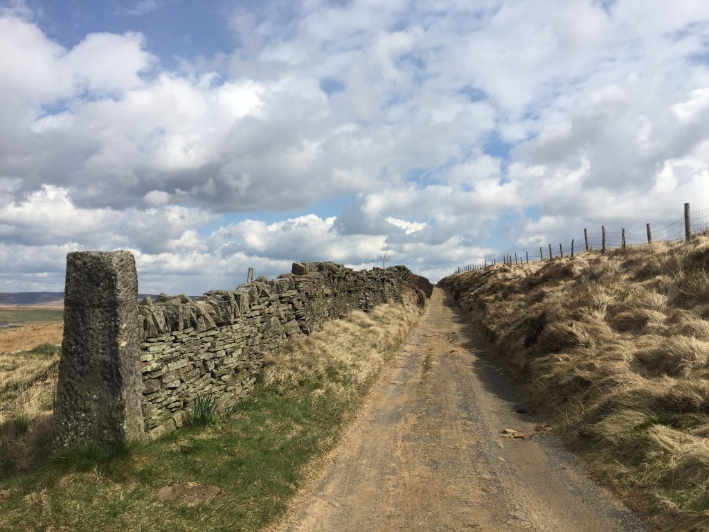

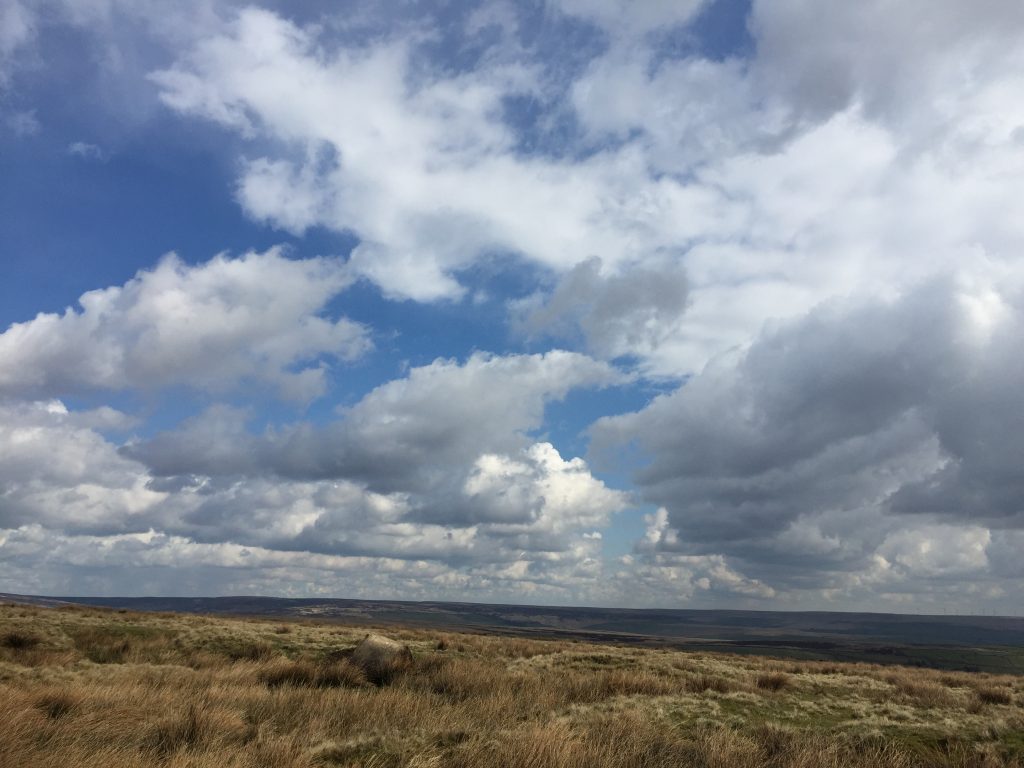
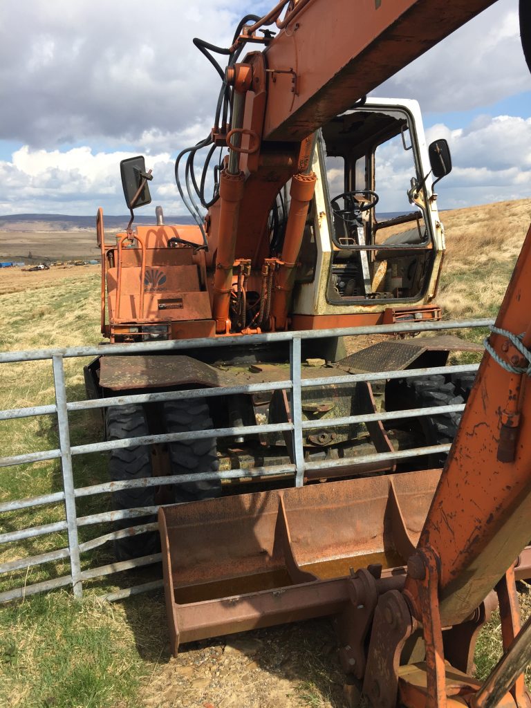
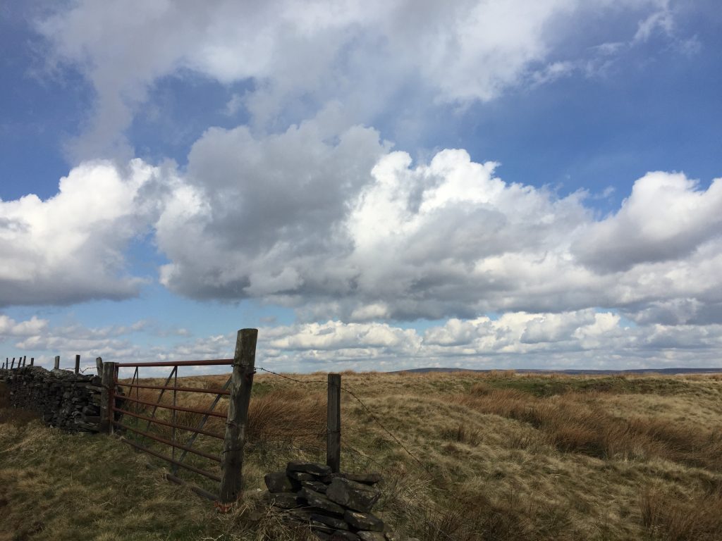
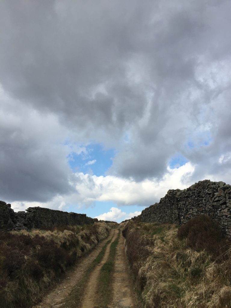
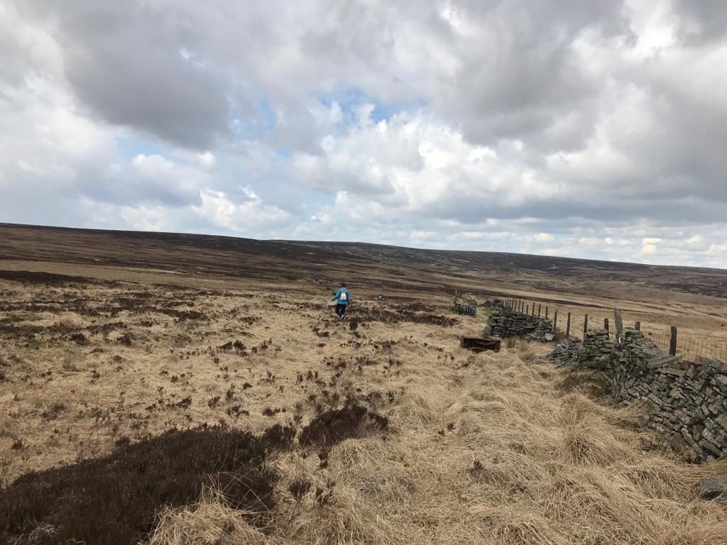
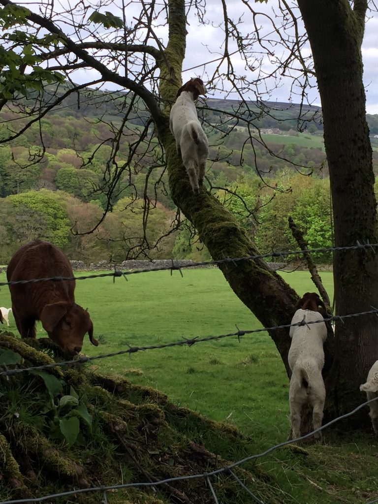
We found ourselves on a well maintained track (at least for walking) sunken between two walls and so we didn’t get the views we had hoped for. The walls were fragmented in places and had been reinforced by wooden posts and barbed wire. This gave us glimpses into the fields beyond where we saw baby partridges and could see an hear curlews calling out. Just like the previous evening there was an amazing sky and when we arrived at the top of the track, rightly named Four Gates, the view was spectacular. We were on top of the world and in the 360 degrees before us the only buildings were the ones clinging to Edge Lane on the other side of the valley. One of the gates leading to High House Farm was blocked by a large digger which seemed to have been there for a considerable amount of time. In fact it’s in the exact same position on Google Earth!
We took the next track to our left , Dukes Cut,in the direction of a group of pine trees which have obviously been planted. In their midst was a strange contraption like something from a science fiction movie and I discovered that that’s almost what it is. It’s a device that assists planes in changing direction! Wow.
We could see a hiker taking a much narrower, steeper path down towards the river and when I followed his progress I could see two ruined farm buildings. From Edge Lane I had seen a couple of isolated buildings on this hillside but couldn’t tell from that distance if they were still in use or ruined. I was also interested in finding two farms, one called Scotland and one called Greenland since I’d already located Egypt on the Edge Lane side of the valley.
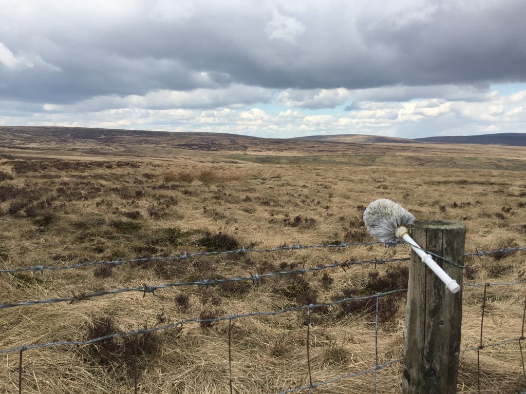
The hilltop above Edge Lane appeared to have several standing stones popping up against the wonderful clouds and my map showed that the hill is actually called Standing Stone Hill. That’s convenient – and also confirmed my map reading skills. Then I spotted a series of turquoise markers on the moor immediately to my right so I set off to have a closer look. Each had a letter painted on and the ‘floor’ consisted of a plastic pallet with a raised wooden fence around three sides.
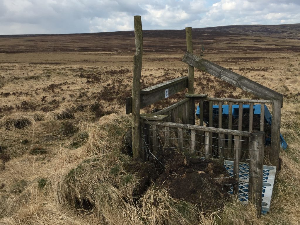
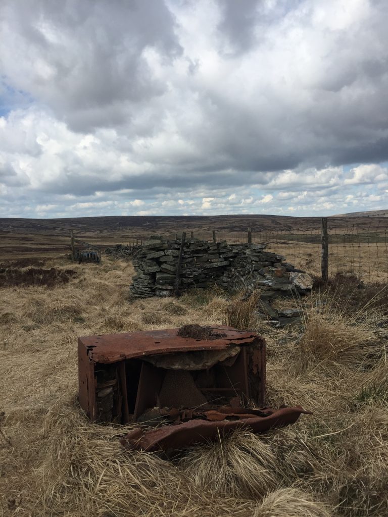
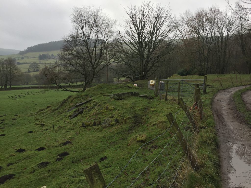
There were about 15 of them all in a straight line close to a long wall. Before the first one there was what looked the remains of a ruined sheepfold but it was very small. We sat on the wall and consumed our lunchtime snacks. These were grouse hides, showing that grouse shooting is still live and well on these isolated moors. One of my ancestors, Ezra Butterworth, was a game keeper on Lord Savile’s estate which is only a few miles from where these hides were. Close to the sheepfold – or could it have been the remains of an older hide that the wooden ones – was a large very rusted metal container which, on further examination seemed to have a fire- retardant fabric. This may have been the ammunition box, just left in place next to the first in the line of hides.
As we retraced our steps we were overtaken by a hiker who had hiked from Cornholme and was ending her walk in Mytholmroyd. She was able to answer some of my questions about the whereabouts of Greenland and the names of the ruins I could see – Noah Dale. She also told me that what we had taken for standing stones on the moor top are in fact, isolated trees. But presumably there was one standing stone which gave the hill its name.
An hour later as we sat in the park enjoying our well deserved bacon butties it started to hail, and in fact, before midnight it snowed quite heavily and I awoke the next morning to sun a sunny morning making the covering of snow glitter and shine.
Of course, I’d spent the evening finding out more about what I’d see, in particular Noah Dale, and though I hadn’t yet seen it – Scotland.
I began with the two ruined farm houses that I’d seen. One was called Noah Dale, as my fellow hiker had mentioned, the other was Pad Laithe. Noah Dale is a stream that flows through Noah Dale. Around 1806 Gamaliel Sutcliffe and James King constructed a dam in Noah Dale. Hmmm. Gamaliel Sutcliffe: I’ve met him before. He lived at Stoneshey Gate on Widdop Road. as for James King he built Mytholm Mill and rebuilt Mytholm Hall. Only this very morning I walked past the site of Mytholm mill. The site is being cleared for proposed housing causing quite an amount of controversy in Hebden Bridge at the moment. Mytholm mill was fed by Colden Water, the name given to Noah Water further down the valley. A catastrophic collapse of the neglected dam at the head of Colden Water in the 1930s carried the core of the dam downstream. The story of this disaster was told by David Smalley in a Hebden Bridge History Society lecture in 2015:
“The dam itself was built between 1805 and 1810 so that water supply could be guaranteed to the spinning mills of the Colden Valley. Dave has established that the original dam was well built but it was shallow and could not hold enough water to supply all the mills. The owners took an enormous loan of £7000 in 1810 but in 1826 needed to invest in making the dam bigger. This raised the wall using rather shoddy engineering and was probably the cause of the dam’s ultimate failure.
Examination of the landscape shows that the original dam had made use of existing landscape features, but had diverted the course of the Colden. The odd knoll is not a ‘floating plug’ but just part of a larger mound that was cut through by the navvies to keep the Colden flowing well.
A century later there were concerns about dam safety and new regulations demanded that the dam be kept in good repair. Those responsible were loath to spend more money on this, paying a waterman just £5 a year to inspect and maintain the structure. A report found a gap in the wall of the dam that had been raised, a fault that would cost £2000 to put right. The failed dam was left to decay further.
Stories have always suggested that the dam burst because of a serious rain storm – but the rainfall statistics don’t support this theory. It seems that after a steadily wet year in 1938, the reservoir was beginning to hold water again, and the owners decided to dismantle it, probably by collapsing a tunnel. All the archaeology seems to support this surmise.”
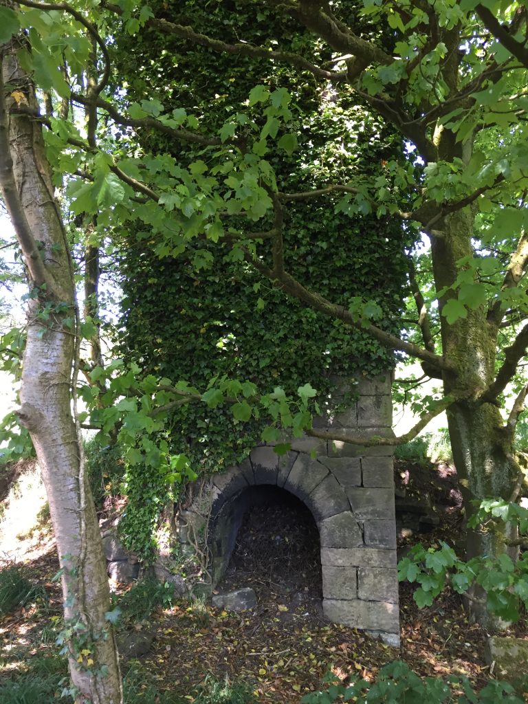
One of the mills for which the dam would supply and ensure a consistent water power was Land Mill. I hadn’t heard of Land Mill before but last year I had taken a new route back from Edge Lane and passed Land Farm. Close to the farm and almost obliterated by ivy was the base of a mill chimney. Now I searched for a photo of Land Mill and though the building is long gone the photo shows it with a dwelling house attached. Built in 1796 by John Greenwood for cotton spinning. In 1851 it employed 15 people. In the 1860s the mill was still in the Greenwood family and had been extended to include a weaving shed and warehouse.
“In 1811 Land Mill was included in Samuel Crompton’s survey of cotton mills with four mules and 960 spindles. Samuel Crompton had invented a spinning machine which he called a ‘mule’ because it combined the principles of Hargreaves’ spinning jenny and Arkwright’s water frame, both invented a little earlier. Because Crompton had never patented his invention a large number of variations on the mule were used, all based on his design. Crompton travelled through the north of England in 1811 and was eventually voted a pension by Parliament.” (http://www.powerinthelandscape.co.uk/mills/col_val_mills_up.html)
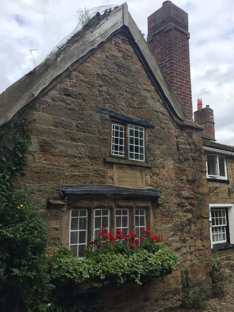
Now Samuel Crompton had lived very close to where I grew up. It’s now a museum, Hall i’th’ Wood and in 2017 Sarah and I had visited his birthplace in Firwood Fold, Bolton. When Crompton’s family moved to the mansion it was in a state of decay. His father died when he was 5 years old and so he was set to work spinning yarn by hand. He supplemented his income by playing the violin in the Bolton theatre. The spinning mule he invented could spin both hard and soft fibres and used 48 spindles, a six fold improvement on the spinning jenny invented by Richard Arkwright. https://aboutmanchester.co.uk/manchesters-heroes-samuel-crompton-the-inventor-of-the-spinning-mule/
Back at Land Mill – by the 1870s the mill was owned by William Barker who lived at Scotland, the farm I’d hoped to be able to see from my walk. In 1861 Barker was living at Wood Top (a frequent favourite walk passes the flock of goats there) and his wife and two daughters began to sew clothes by hand.
He has been described as the Father of ready made clothing. He leased first Hudson Mill (where my ancestor Giles Sunderland lived) then Mayroyd, ( where I spent a summer in 2016) and then also Land Mill where he wove fustian cloth.
Old mill pond at Wood Top 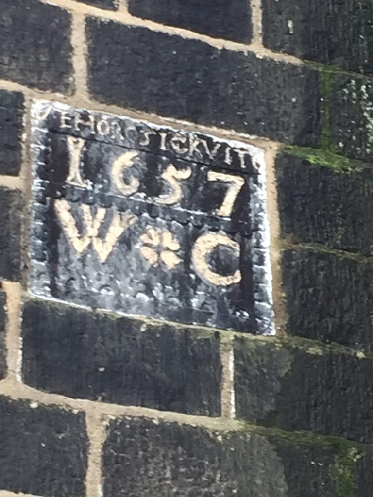
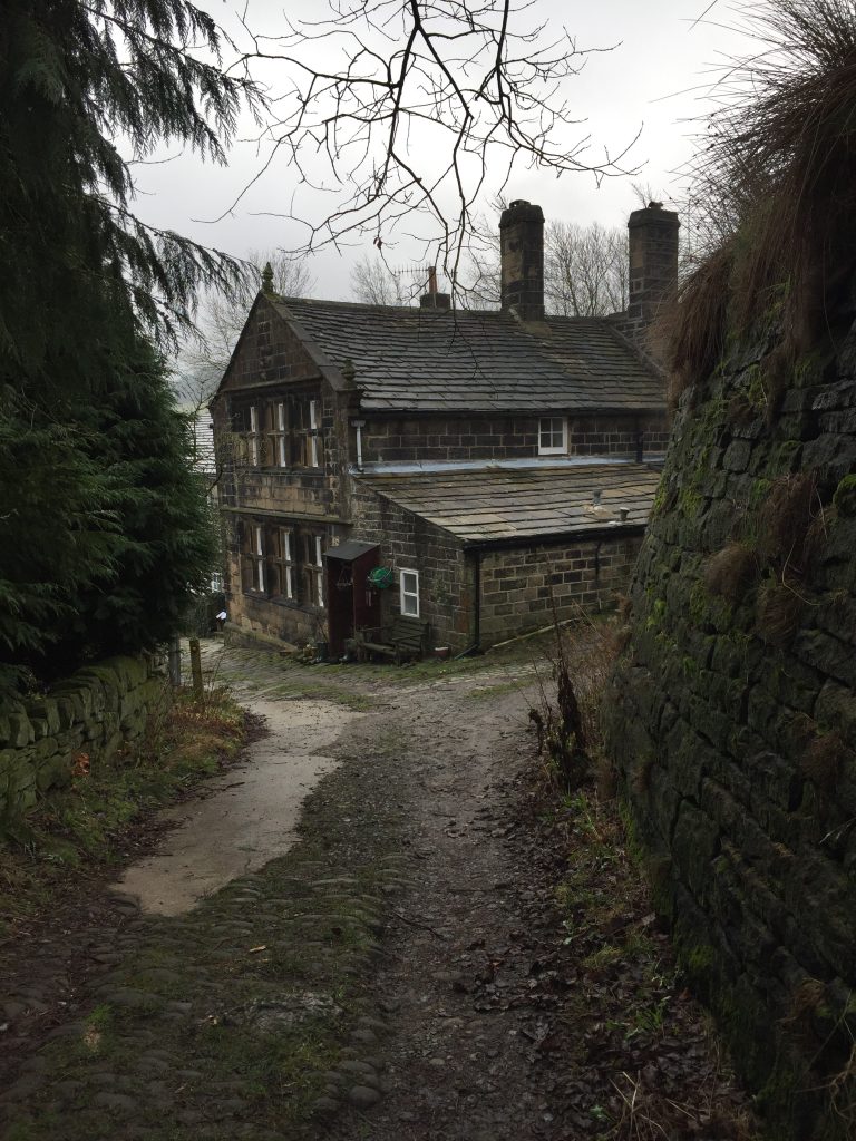
Woodtop
When I looked up Scotland – which I had thought was a ruined farm I couldn’t have been farther away from the truth. It’s a 6 bedroom, 4 bathroom holiday let with a hot tub! I wonder what William Barker would have thought of that.
https://www.booking.com/hotel/gb/the-long-view-hebden-bridge.en-gb.html
I recently discovered Noah Dale was rented by a John Wadsworth, (wife Hannah and daughter Jane) from at least 1829 until his death in 1868. He is shown in the Heptonstall Land Tax records for a couple more years (perhaps his daughter had it until the end of a lease) but in 1871 the census described it as Uninhabited. I think the neighbour at Pad Laith then rented it or the land appertaining.
I love reading these accounts and seeing the photos’, such a beautiful area. *Pad Laithe farm is now derelict yet still standing, makes me feel sad these lovely old buildings are disappearing, likely to tumble down & be lost completely – but I don’t have the answer for saving them; everyone wants car access these days :/
*1841 census has ‘Nodale’ occupants as Hannah [50] & John Wadsworth [52], farmer, with Jane [15] & separate household of Maryann [30] & John Pickles [30], with Hannah [7], Thomas [5], & Sarahann [1] – (Maybe Maryann was the daughter of Hannah & John Wadsworth?)- Next door at Pad Laithe Farm were the Hargreaves, a family of weavers; Hannah [52] & James [52], farmer, with 8 relatives ages 6 – 32.
Thank you for this lovely blog and to the other commentators who have enabled a random search for Pad Laith to confirm a little more of a story that started in the valley nearly two hundred years ago. A small burial ground by the river Wear in Durham contains a weathered gravestone recording the deaths of the two infant sons of a William Hargreaves born in Heptonstall – the graveyard is being lovingly restored by volunteers with a wild garden and community orchard and in the hope of acknowledging, in a small way, the lives of the people buried there, family trees have been added to Ancestry for each of the known gravestones. But the words on this gravestone are mostly worn away – records show the infants who were born and soon died in Paradise Lane, are William Abraham Hargreaves and John Whitham Hargreaves, names unusual enough to trace back to the Hargreaves family at Pad Laith in 1841 , where William their father, and perhaps his brother Whitham, probably both the young sons of widower Abraham Hargreaves, lived with their grandparents James and Hannah. Thank you again
I loved reading these little well researched histories, all these places are still very close to my heart. Slightly further down Noahdale from Pad Laithe are farm-houses, Colden Water, Crabtree Field and Hoarside. My parents, Nick and Kathleen Smith moved to Hoarside at the beginning of the 1950s, having it rented from Harry Greenwood of Everill Shaw. I was aged three at the time and at age four started the long walk to Colden School with my five year old brother, barefoot in summer, in clogs in the winter. I remember having wild imaginings of the bursting dam at the head of the valley. All the holdings further up the water were by then sadly deserted and in varying stages of collapse. Hoarside had thus become quite isolated but we were never short of friendly visitors. Families further down the valley, who, unlike us, had electricity, televisions and hot running water were extremely kind to us throughout our childhood.
I have lived nearly sixty years in Scotland now but still love an occasional walk up the valley.
Stumbled across this lovely blog and responses sitting in a Glasgow to London train and thinking about growing up in West Yorkshire in the 1970s. For a while we lived in Broadstone cottages in Colden village and me and my two brothers (Tom and Joe) went to Colden School. We were taken by Mum and Dad for summer days out and along some of these same paths up to Colden Water. We went to visit and meet up with my friends , sisters Elsie and Helen, who were my age (about 7) and lived with their Mum and Dad (Howard and Vicky Long) at Hoarside Farm. They were artists I think. Elise and Helen had two ponies called Spell and Cobweb and Elsie and I often rode Cobweb. Having those moors and the stream and family and friends and ponies all seems now something of a lovely dream world. I remember the ruined farms that are written about here and which are scattered around those lonely hill sides – how incredible that people managed to live and farm out there., so wild and remote and beautiful. It’s moving. Thanks for the pictures and the archival records work.
I just wanted to leave a note and say thank you for writing all of this.
It’s full of fascinating detail and history – Thank you