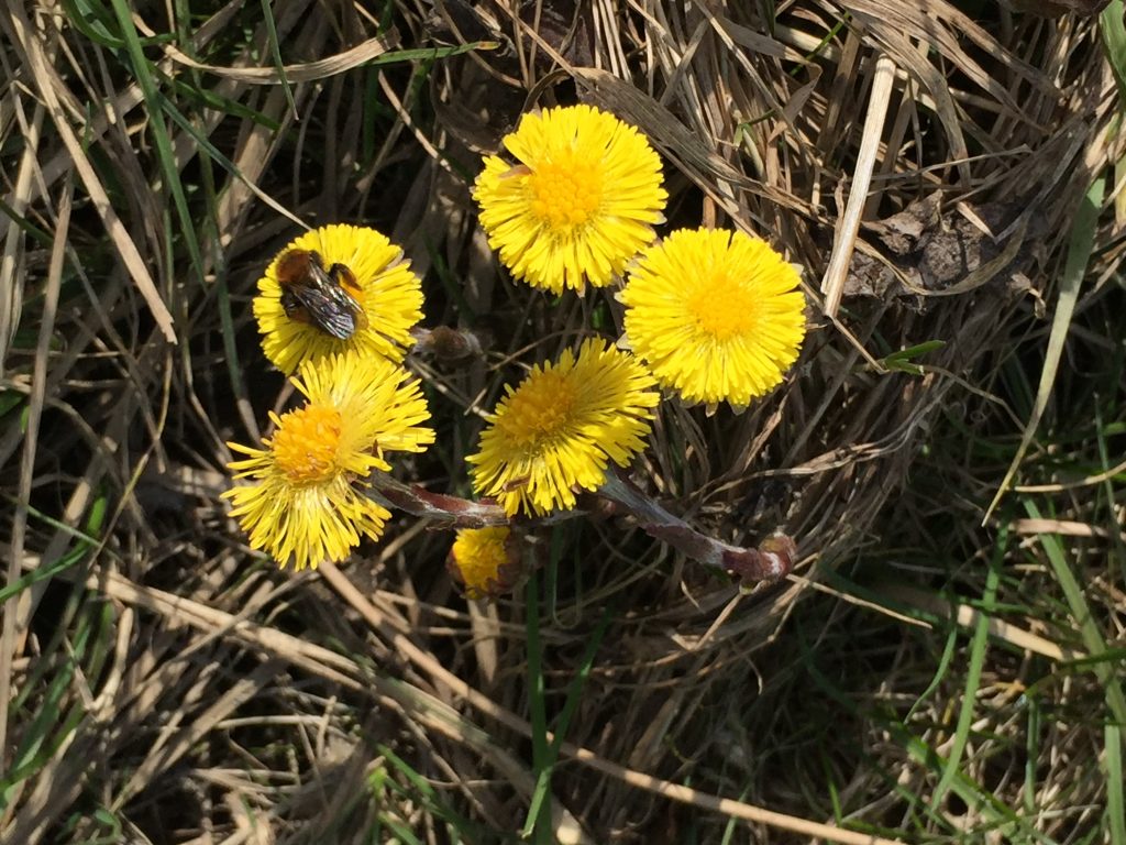
First day it’s got into the 60sF 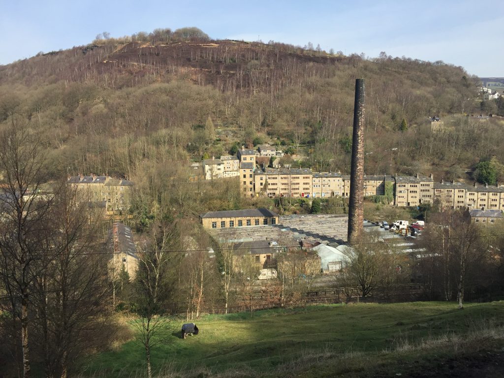
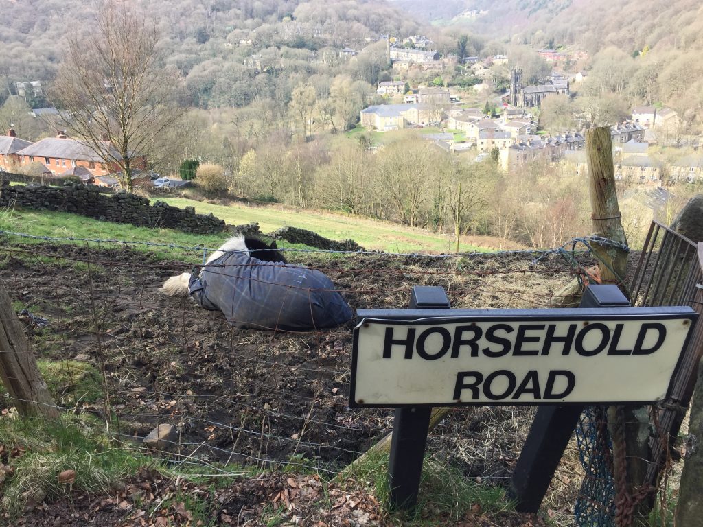
Hebden from the steep path up to Horsehold. Heptonstall is on the opposite ridge 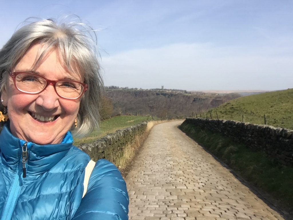
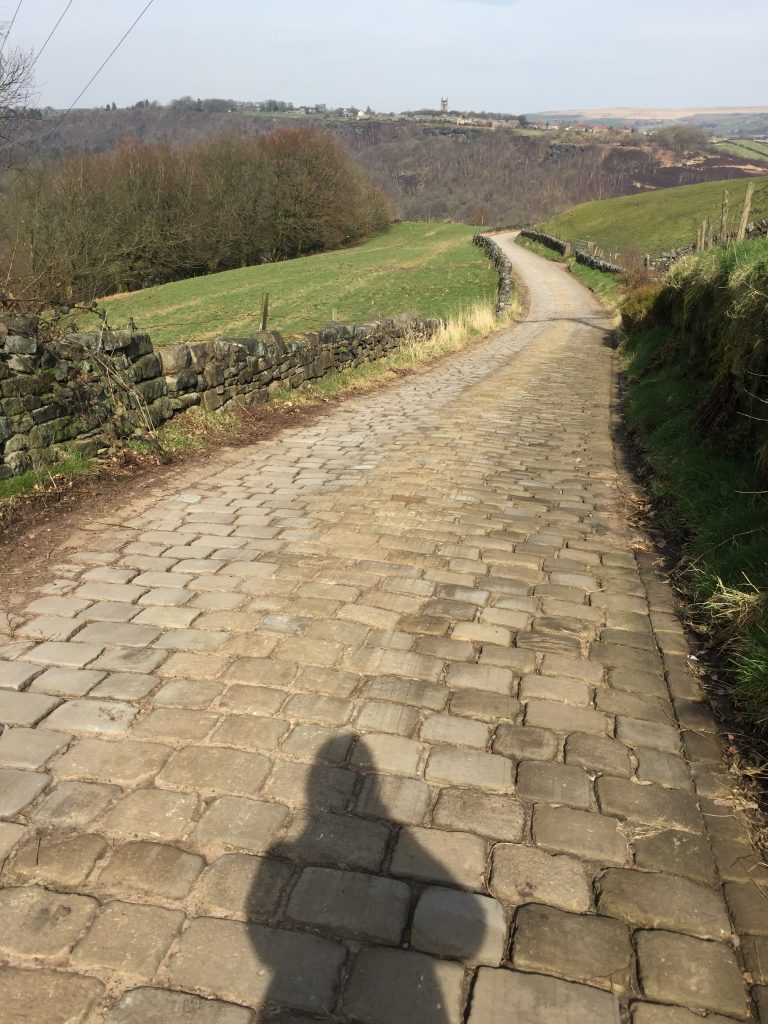
On a level with Heptonstall church. First day without a beanie 
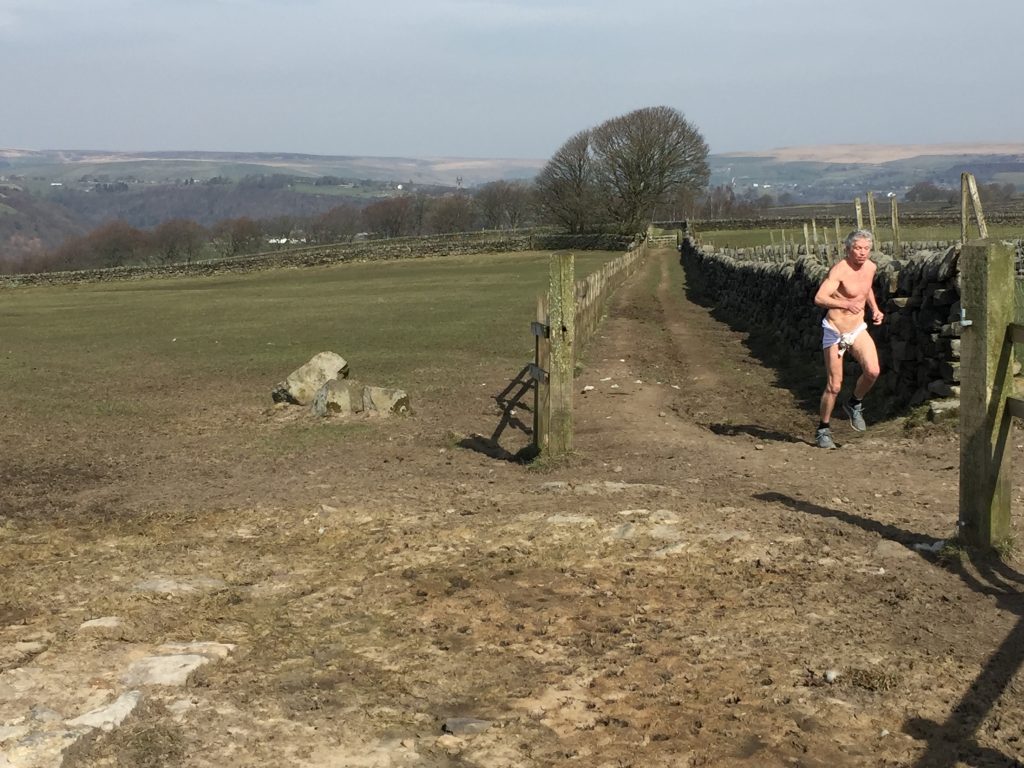
What the??? I watched him vault over that 5 barred gate!
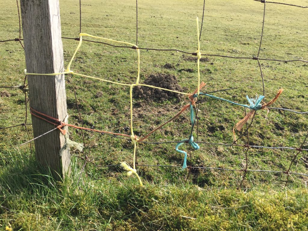
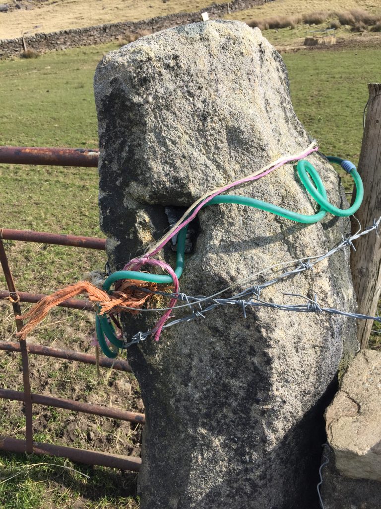
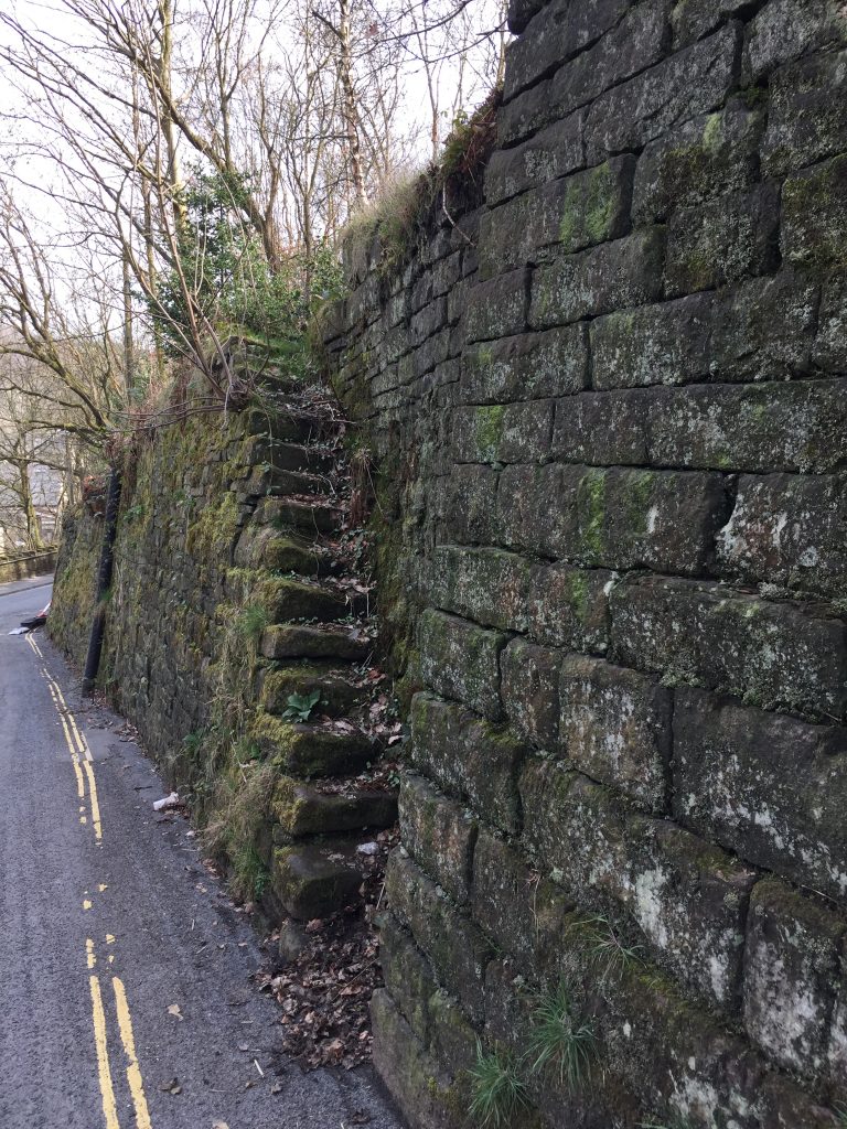
Great ingenuity
Erringden Grange, on Kilnshaw Lane above Hebden Bridge, is an early 19th century listed farmhouse and barn. (Erringden thought to be of Norse origin “The valley of the high ridge”). It also has numerous adjacent fields with rectangular field patterns, as well as an old Hawthorn hedge now in need of some care and new saplings for continuity.
But what makes the fields unique in the Calder Valley are the small diamond shaped enclosures at all the wall intersections.
There are (or were) about 50 of these enclosures shown on the OS map of 1849 and each contains planted trees of mainly Beech and Sycamore. These trees are possibly over 180 years old.
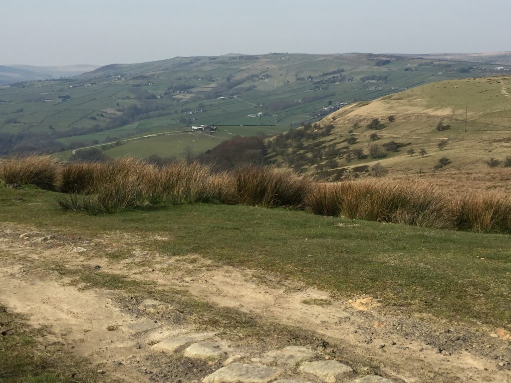
I believe I can see Bridestones where I was a couple of days ago on the far hill 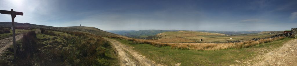
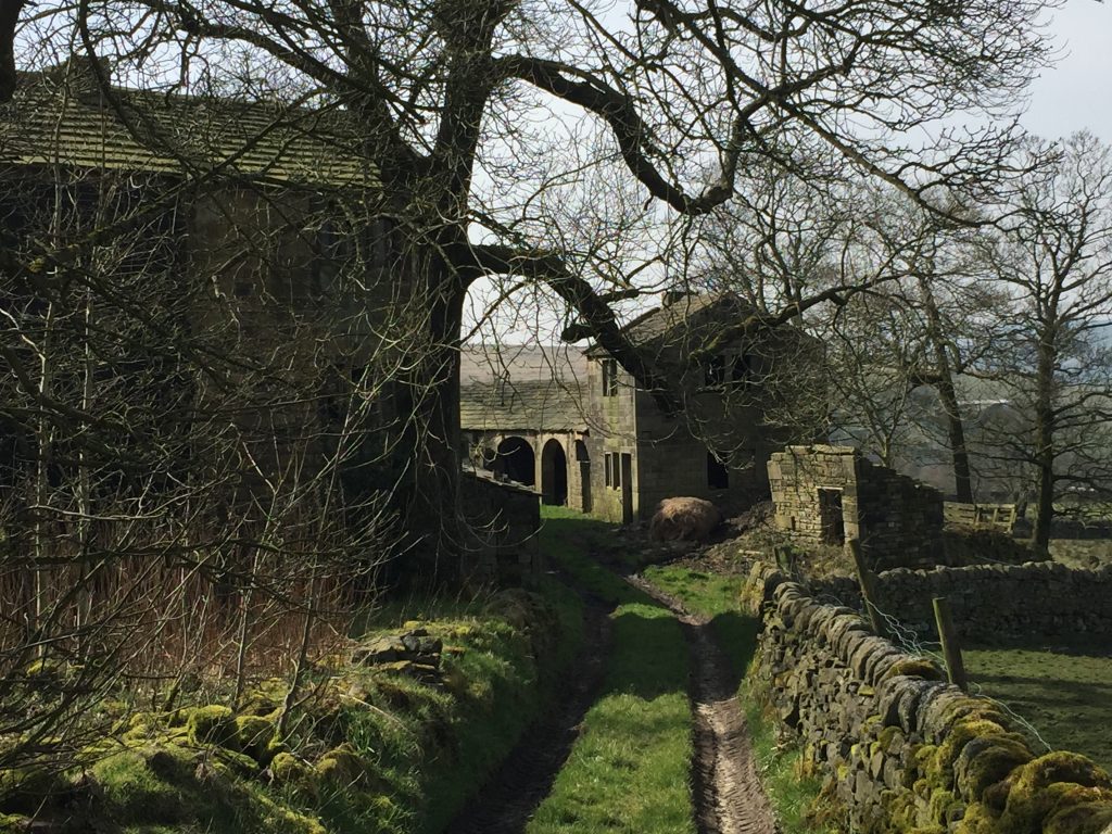
Erringden Grange. I just love this place and have taken basically the same photo each time I’ve gone past it. Part of it is in ruins but I think part of it is lived in 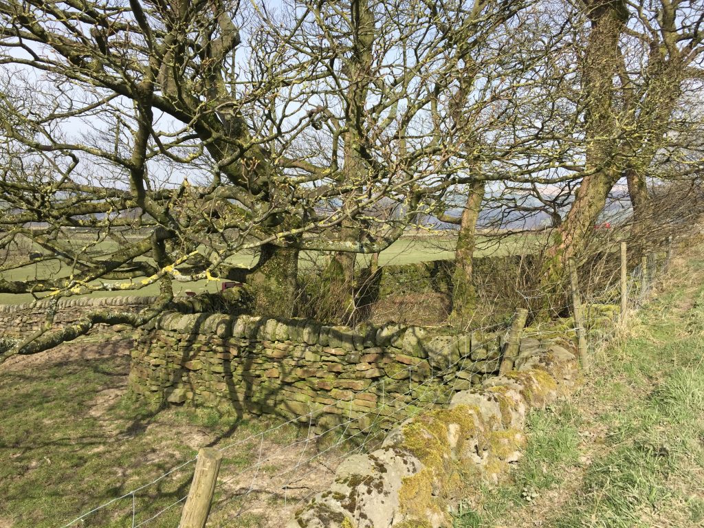
A pen for farm animals to shelter at the intersection of the walls 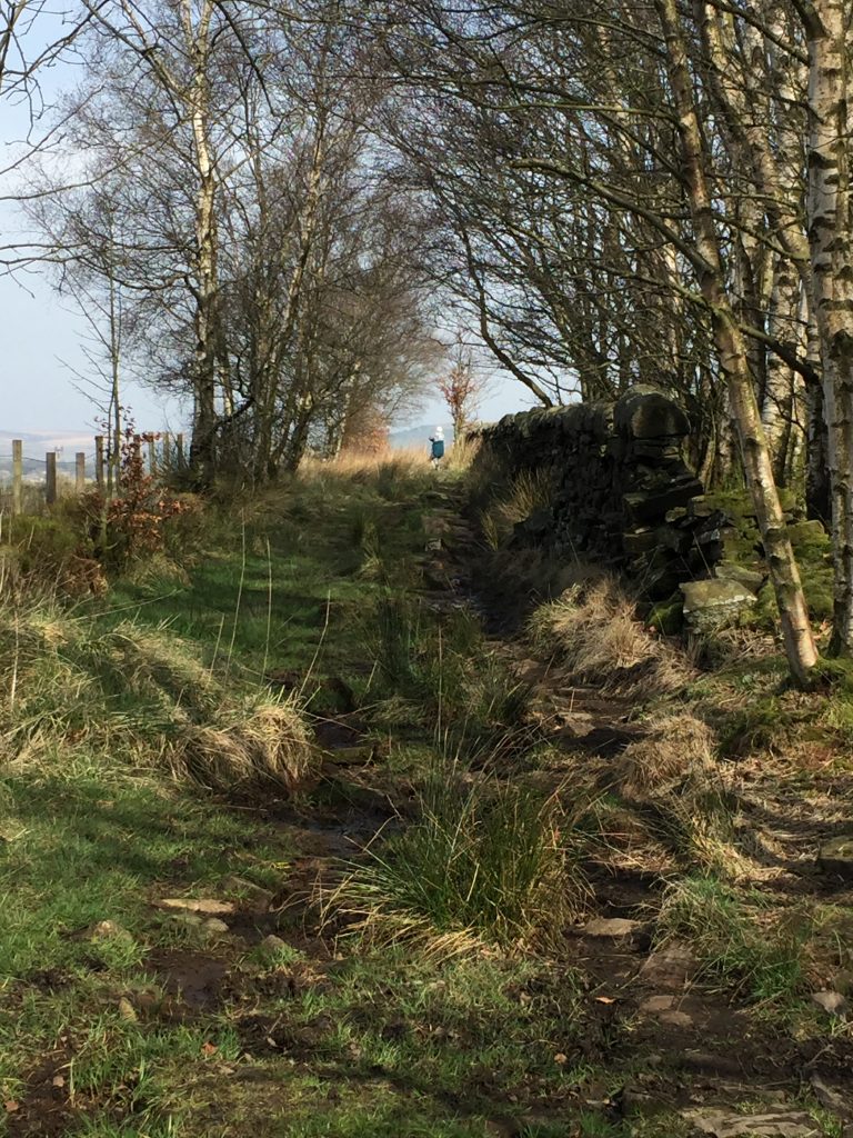
When this lady got close to me she called out, “Is the pathway wide enough for us to get 2 metres apart?” 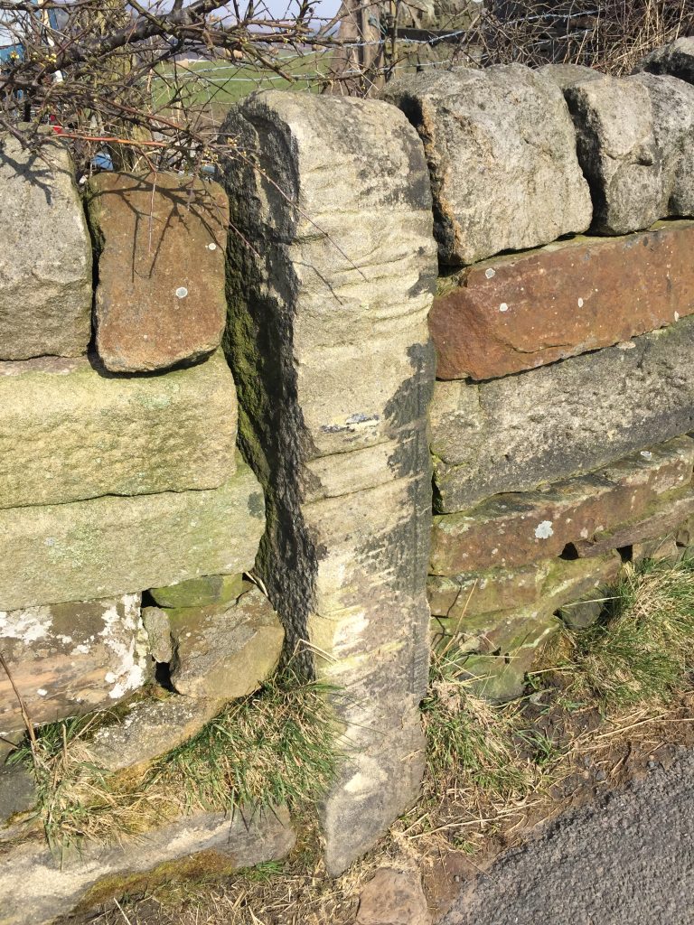
Interesting wear on this post. It looks like tow ropes from the canal! 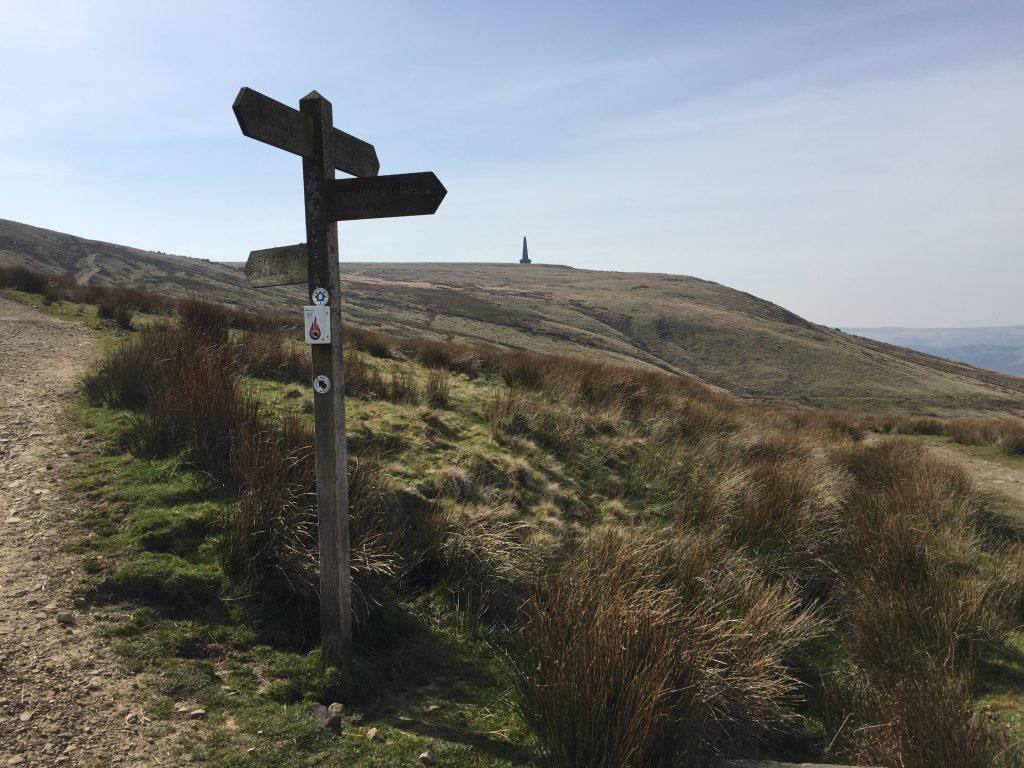
As close as I got to Stoodley Pike today. It’s about another 30-40 minutes to the top from here.
Get it? 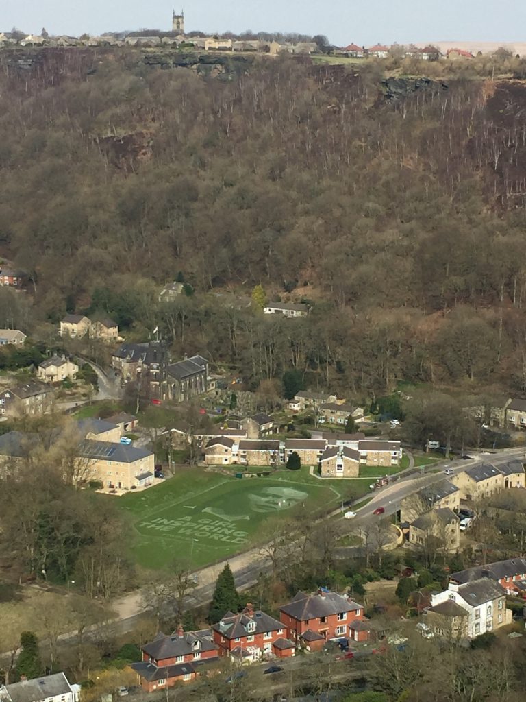
Greta Thunberg’s picture created in sand 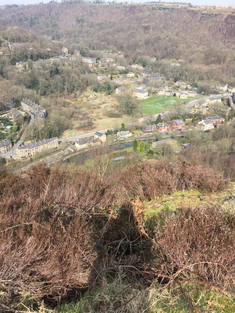
An aerial shot?
Leave a Reply